
EOMAP wins Copernicus Masters 2013 challenge
EOMAP wins this years Copernicus Masters cloud computing challenge with the idea of “Operational Satellite-Derived Bathymetry Service – Rapid, spatial, validated”.
“EOMAP provides an innovative way to ascertain underwater depth in coastal waters as a service for industry and the public sector. It can be made available on-demand anywhere in the world using the dynamic scalability of cloud computing, which could make costly methods using planes and ships obsolete.” Dr Jurry de la Mar, Account Director Global Accounts & International Business, T-Systems International GmbH.
Follow the link for further information.
Latest EOMAP News

Reuters bases Mekong article on EOMAP data

Oman Oil Spill: SDB Mapping of Critical Shallow Waters for Safe Salvage

eoapp DIVE unterstützt die Tauchplanung

UKHO’s highest-ranked Satellite-Derived Bathymetry provider in 2015

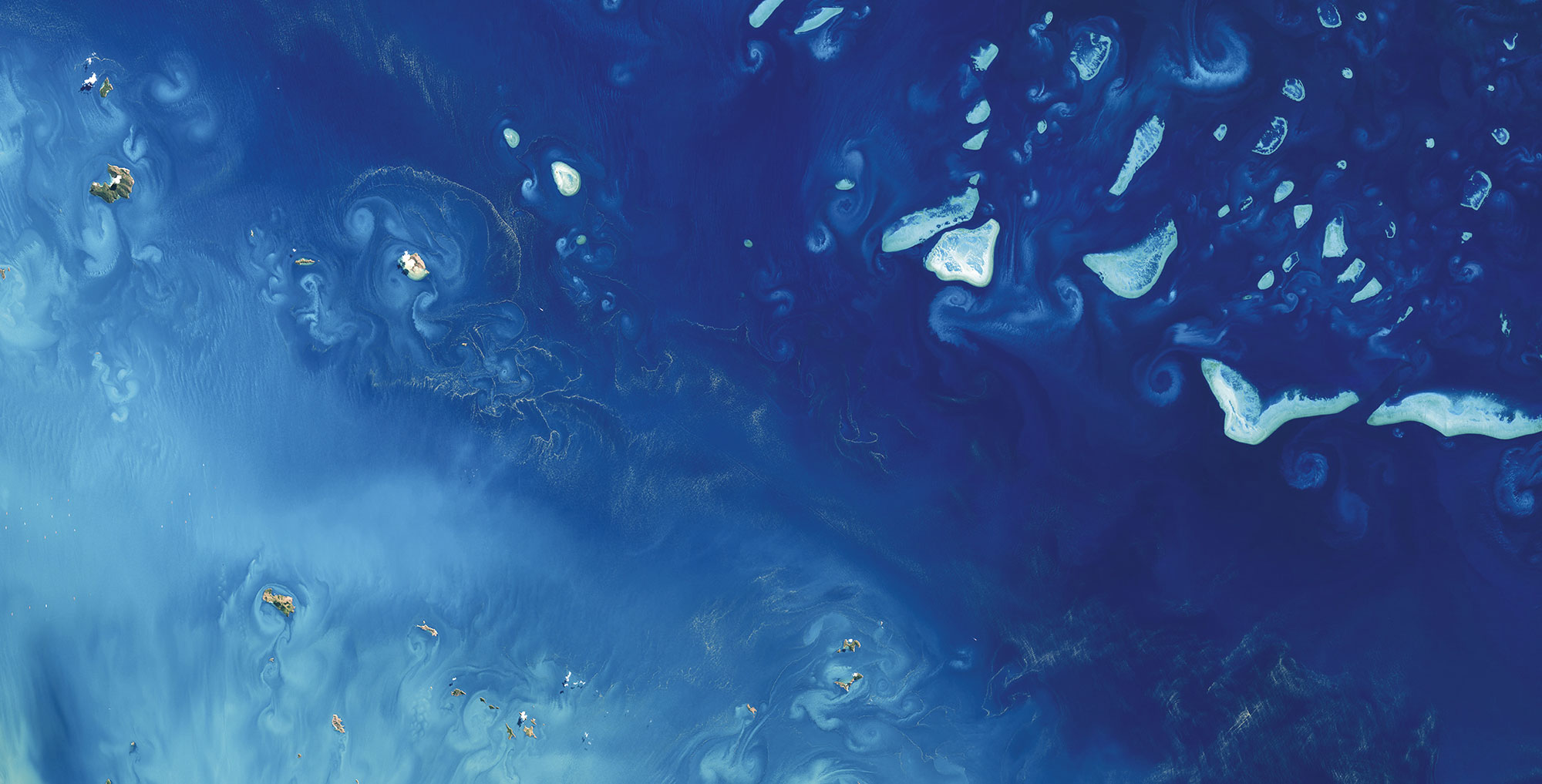
Mapping the ‘unmappable’ Great Barrier Reef

Dredge plume monitoring using satellite-based turbidity mapping
Related Posts
08 / 2026
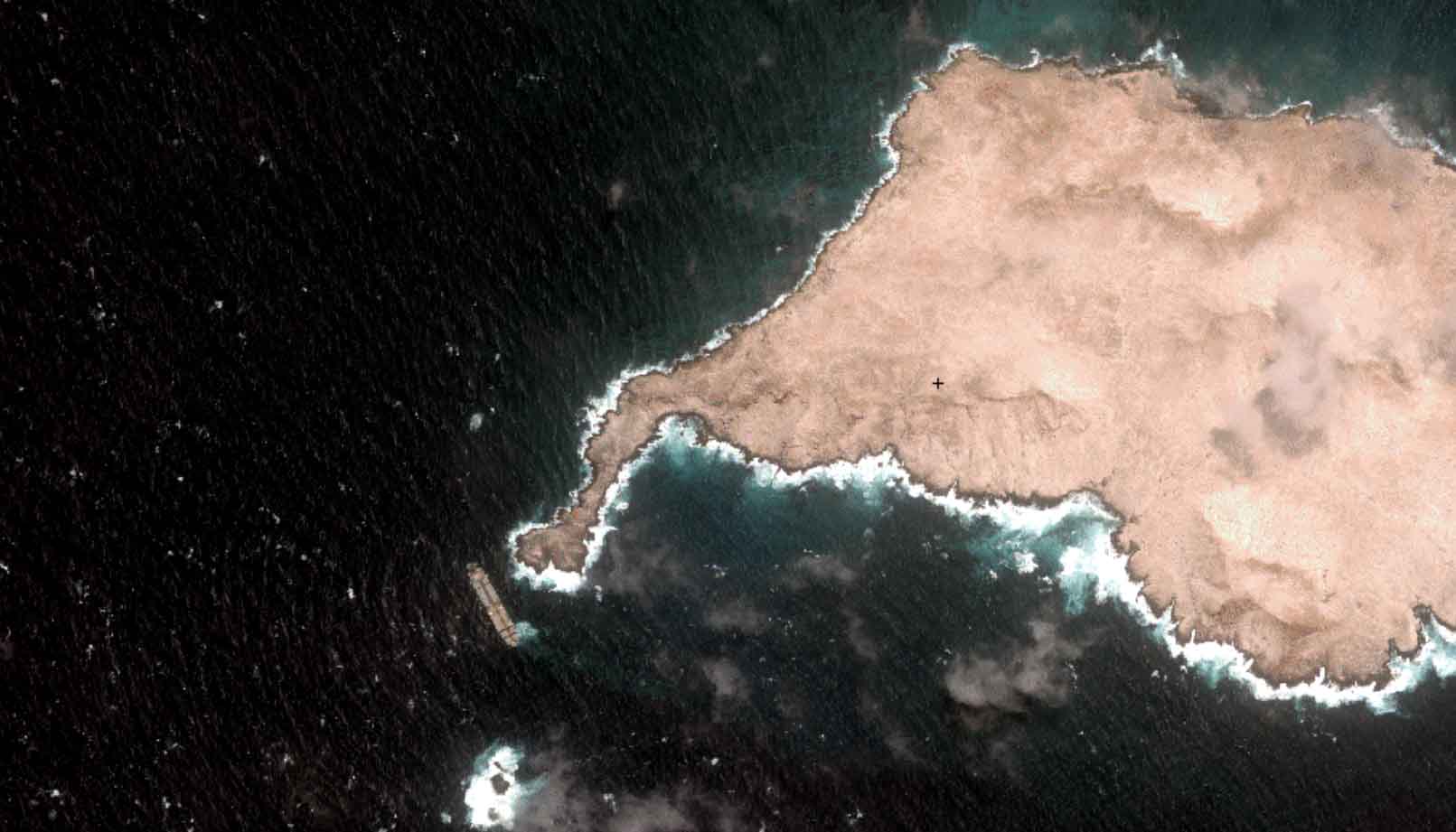
Oman Oil Spill: SDB Mapping of Critical Shallow Waters for Safe Salvage

07 / 2026
UKHO’s highest-ranked Satellite-Derived Bathymetry provider in 2015

06 / 2026
Mapping the ‘unmappable’ Great Barrier Reef

04 / 2026
Mapping Ningaloo Reef 2009: A Breakthrough in Hyperspectral Marine Habitat Analysis

04 / 2026
20 Years EOMAP: Advancing Earth Observation

02 / 2026
WATCOR‑X Bathymetry Software for Navies and Hydrographic Offices
01 / 2026
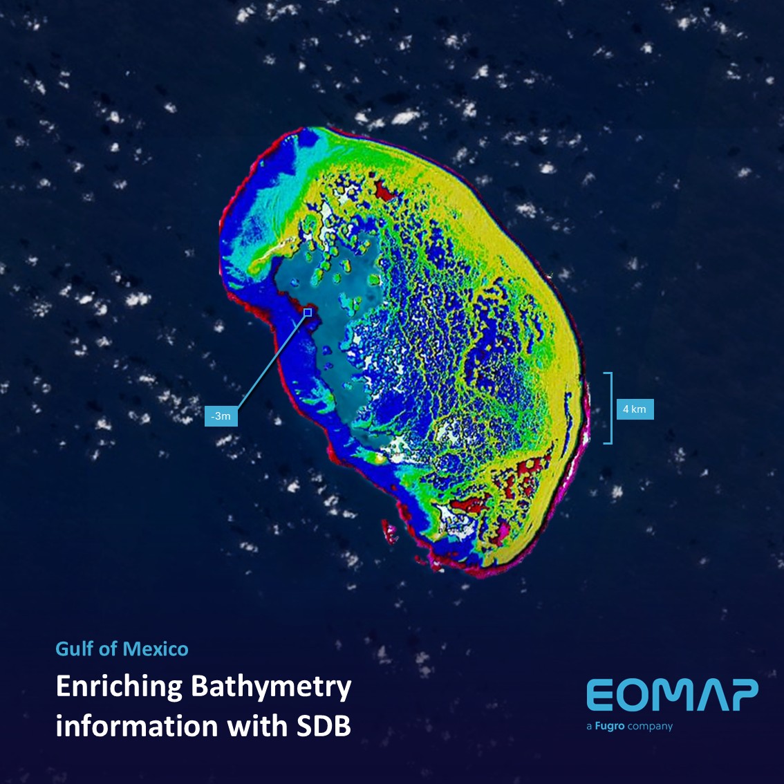
Bathymetry in the Gulf of Mexico
10 / 2025
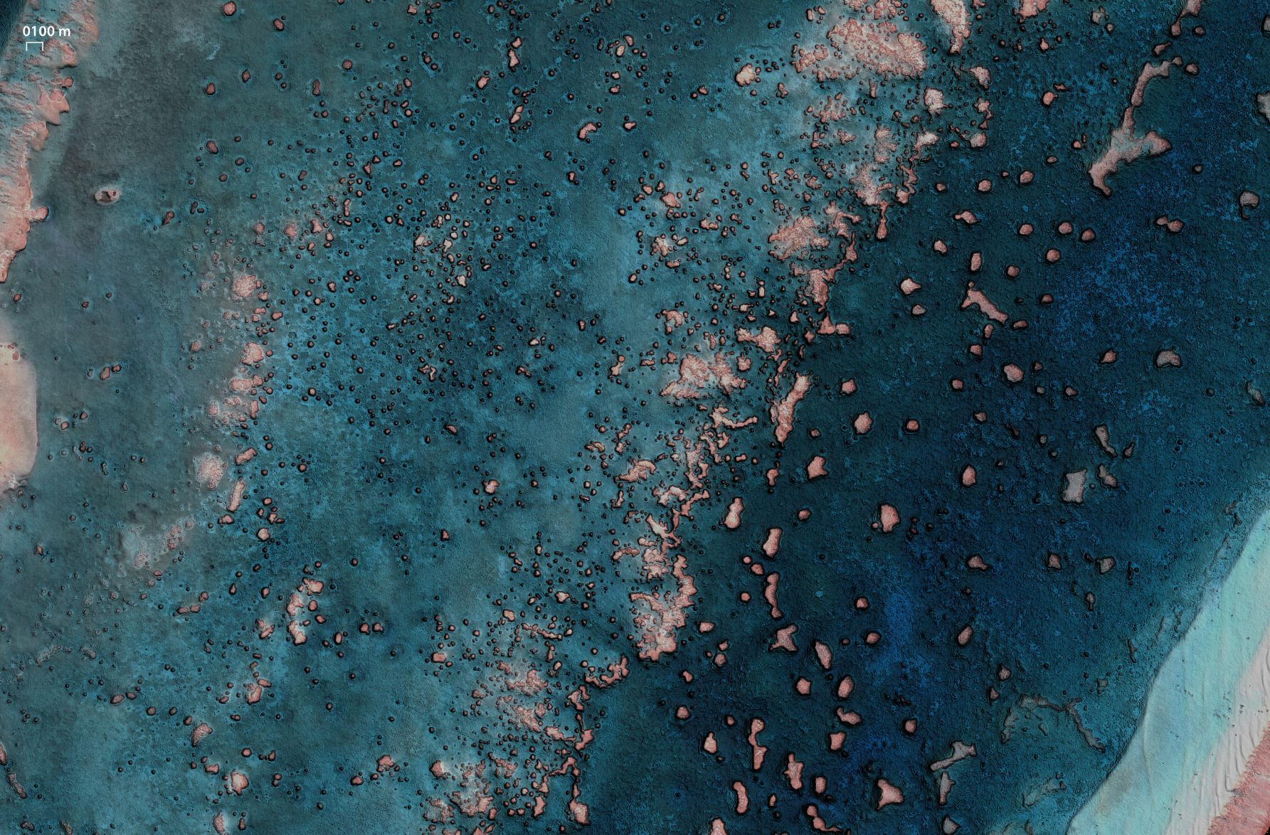
SDB Update #9 – Validation and Accuracy
10 / 2025
SDB Update #8 – Multisource Bathymetry
08 / 2025

