EOMAP is the world leading company for optical remote sensing of marine and freshwater aquatic environments.
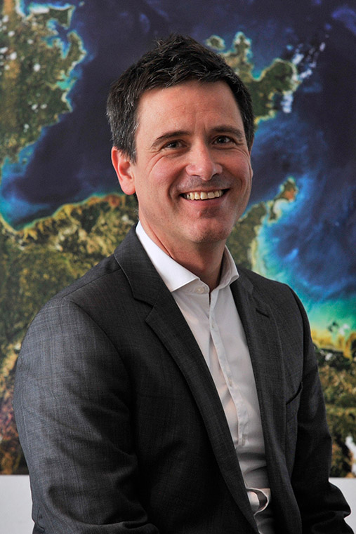
The SME was founded in 2006 by CEO Dr. Thomas Heege as a spin-off from the German Aerospace Center (DLR) and is headquartered in Seefeld near Munich, Germany. In February 2025, Fugro acquired EOMAP and keeps integrating it into their Climate & Nature division.
EOMAP has supported both industry and government clients in hundreds of projects related to coastal zone management and wetland ecosystems. 50 employees of various disciplines and 11 nationalities have a high expertise in satellite-based mapping and monitoring services. Clients particularly value EOMAP for their Satellite-Derived Bathymetry (SDB), Seafloor Classification and Water Quality Services. Recently, the SME has also innovated in smart online solutions – the eoapp series – to simplify clients’ access to satellite-based knowledge.
The EOMAP team understands that customers value decision-support beyond mere data delivery.
Today’s projects are often characterised by layers of interrelated risks. Early identification, understanding, and management of these risks is key for a project manager. Critical environmental issues need to be considered early in the project cycle to avoid derailing schedules and budgets. Appropriately scoped ecological investigations will prevent projects from being exposed to avoidable risks.
EOMAP’s team provides expert advice across the spectrum of aquatic issues. We help clients identify and manage risk, instilling credibility and confidence, and smoothing the path through negotiations and approvals. With almost 20 years of experience in research and consultancy, EOMAP is widely respected for its ability to formulate practical and cost-effective strategies based on sound ecological and regulatory understanding.
Before committing to your next project, talk to the experts at EOMAP!


Market Sectors and Services Worldwide
Why trust us?
At the core of EOMAP’s technology are state-of-the-art physics-based algorithms for extracting quantitative information about aquatic environments from remote sensing data acquired by satellites. These algorithms
- allow for coupled atmospheric and in-water parameter retrievals, including a correction of the terrestrial adjacency effect, critical to the accurate remote sensing of any coastal or inland body of water,
- contain a physically accurate implementation of the bi-directional effect inside the water column, at the water surface and in the atmosphere,
- take into account the full range of reflecting, absorbing and scattering properties of the water body and its boundary with the atmosphere.
Uncertainties in Earth observation products can arise from a number of environmental factors. The algorithms within our processing chain include mechanisms for quantifying these uncertainties and flagging relative reliabilities.
No other aquatic Earth observation monitoring and mapping service offers the full complement of sensor-independent, automated and harmonised algorithms and software processors.
EOMAP’s production chains deliver standardised, qualitatively and quantitatively inter-comparable – sensor-independent – products for a full range of temporal and spatial resolutions. All our products can be supplied in a number of standard formats for smooth integration into our clients’ data environments. All come with metadata conforming to the standards of the Open Geospatial Consortium (OGC) and the European INSPIRE directive.
Time saving and cost effective production infrastructures
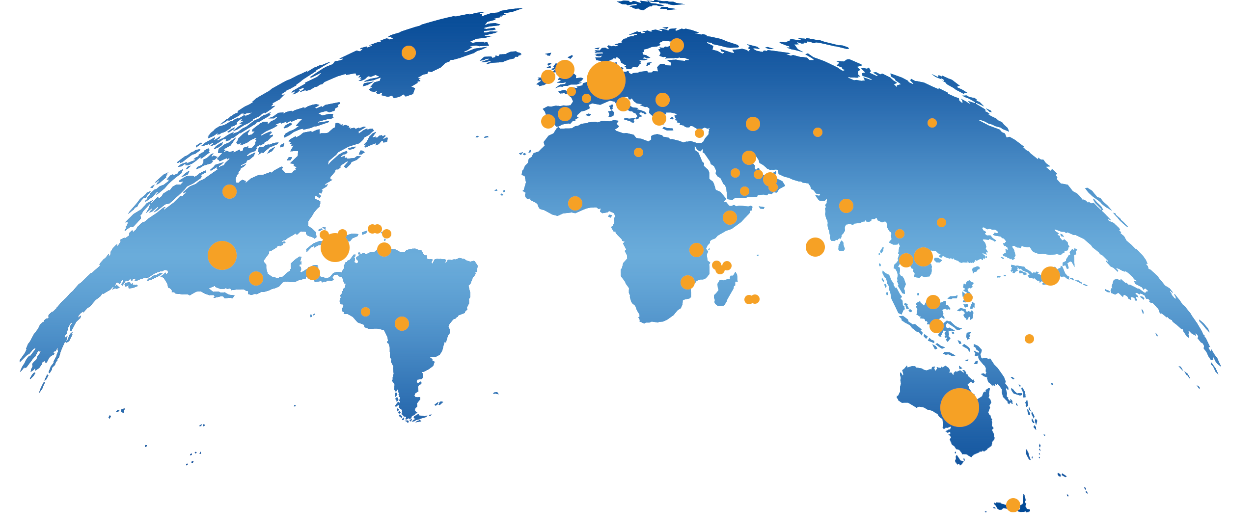
Our software processors for monitoring water quality are installed in satellite ground stations in Europe, Australia, Asia and America to ensure fast and efficient access to a wide range of current and future satellite sensors. Our processors and facilities are also installed in large cloud infrastructures, as well as in our modern offices and data hubs in Germany, Malaysia, Singapore and India. Our orchestration software, the EOMAP Workflow System (EWS), ensures continuous 24-hour production every day of the year.
Our technologies are based on 30 years of research and development with an experienced, multidisciplinary team of physicists, mathematicians, geo-information scientists, geographers and geo-ecologists. We have been supplying our professional services to industrial and governmental organisations around the world since 2006. Today, we are the world’s largest and most experienced commercial provider of high-resolution shallow-water bathymetry, water quality and sea floor mapping services, all using Earth-orbiting satellites.
We provide experienced support to our clients. Moreover, we strive to offer efficient and user-friendly access to our outputs and services through a range of delivery mechanisms, such as our eoapp ® web application for visualising water quality data.
Our clients benefit from:
- user-friendly, customised data access solutions depending on clients’ requirements,
- state-of-the-art Earth observation information products,
- a clear understanding of service capabilities, product definition and uncertainties.