
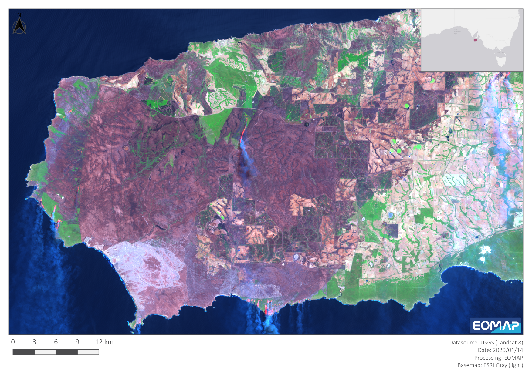
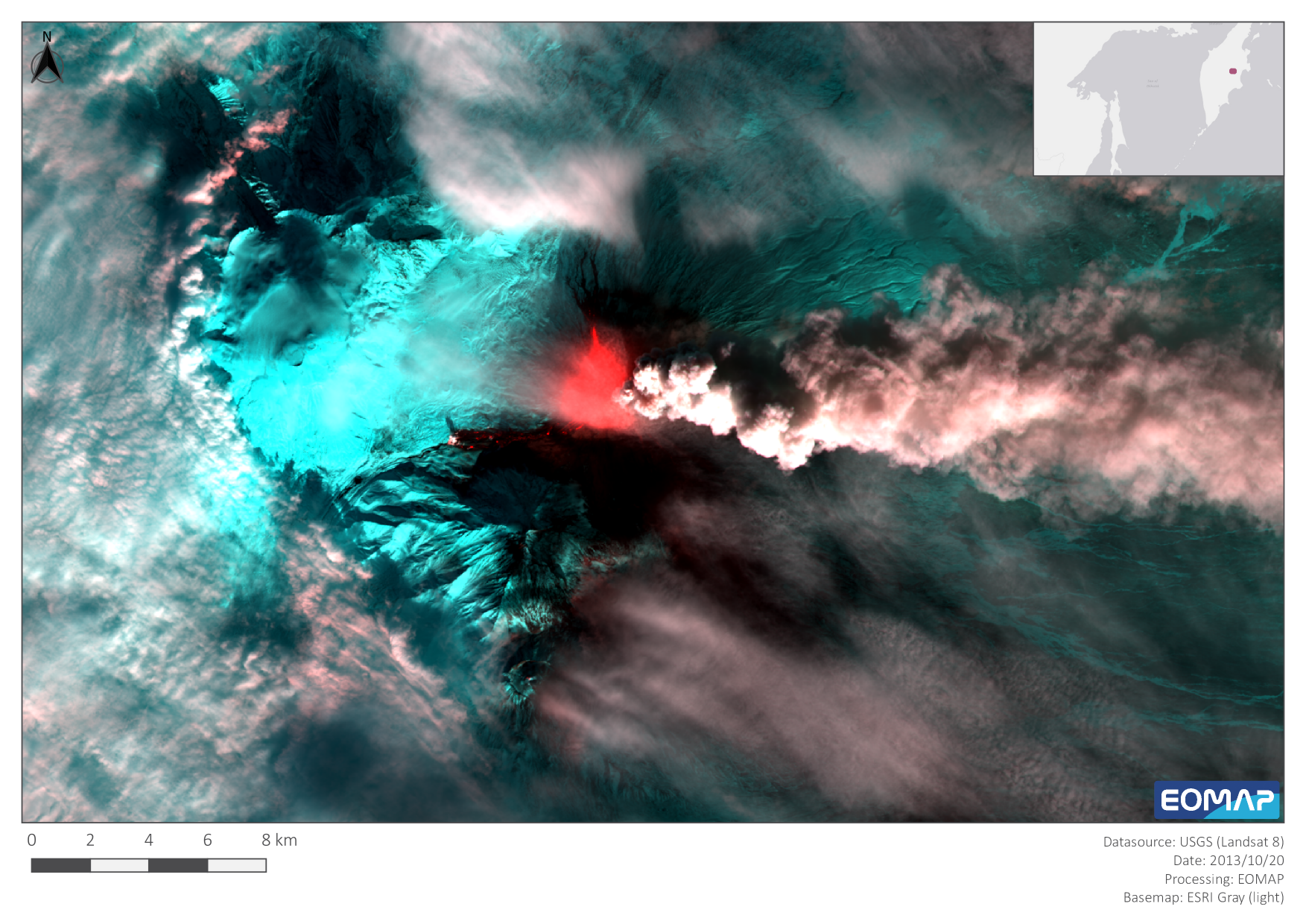
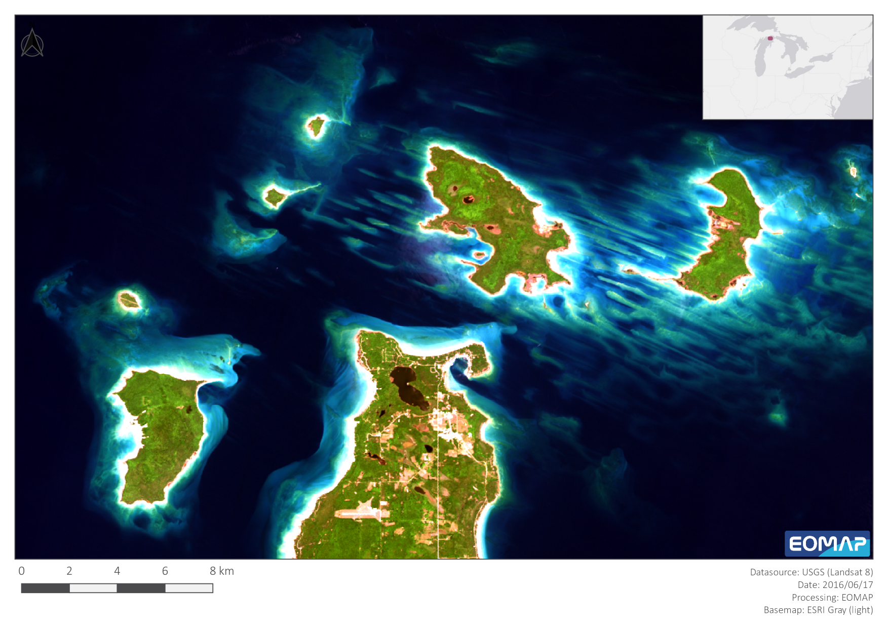
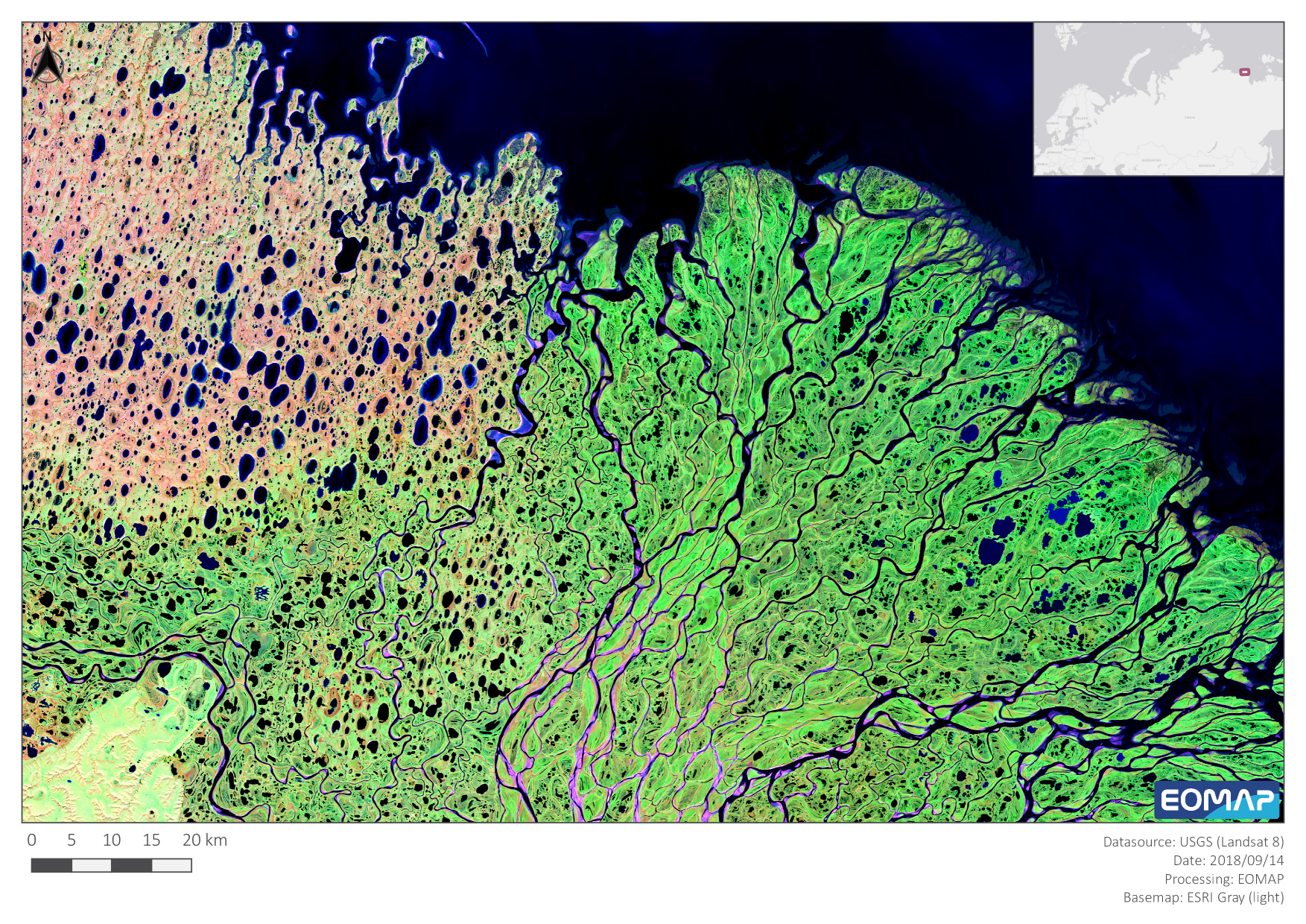
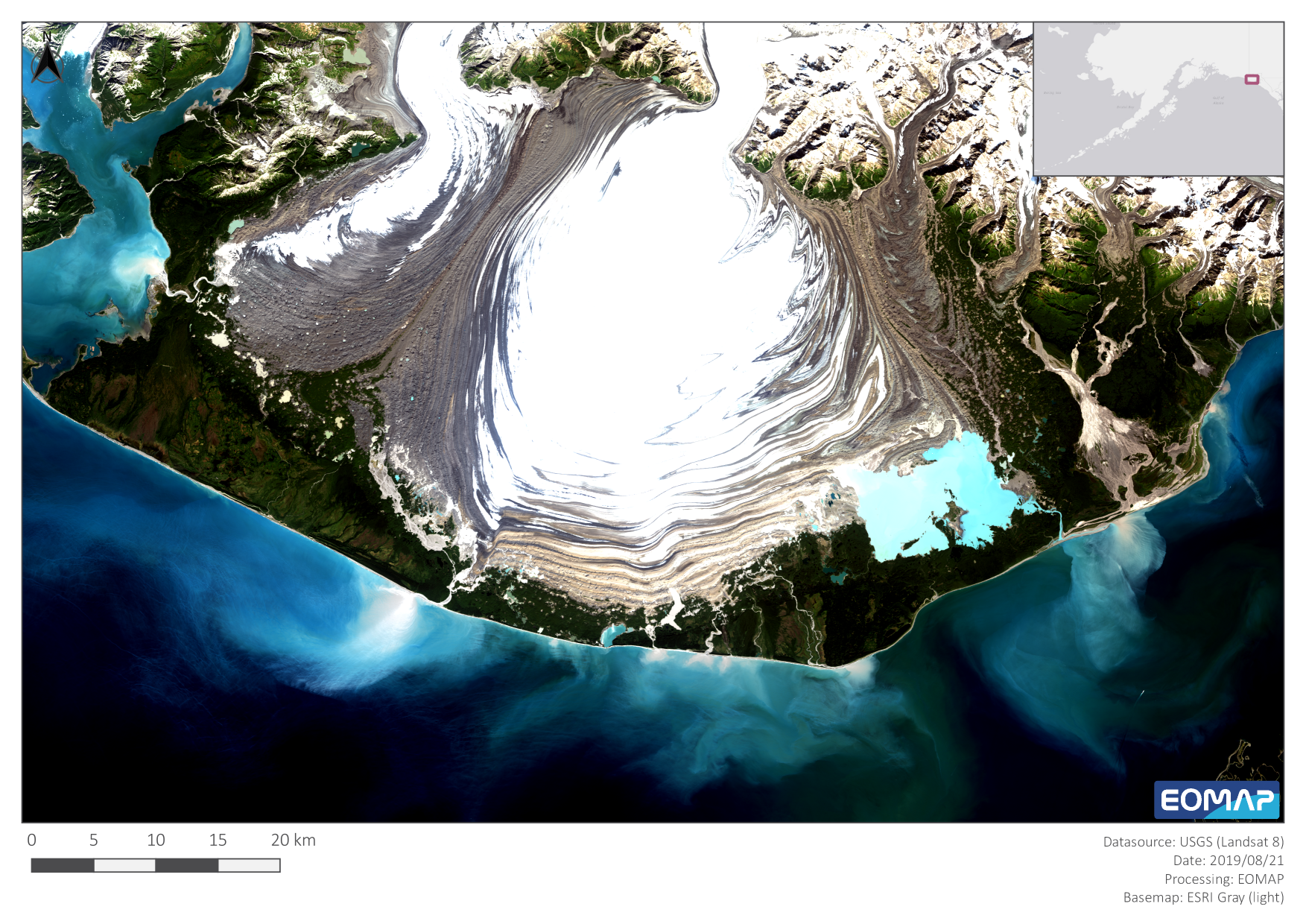
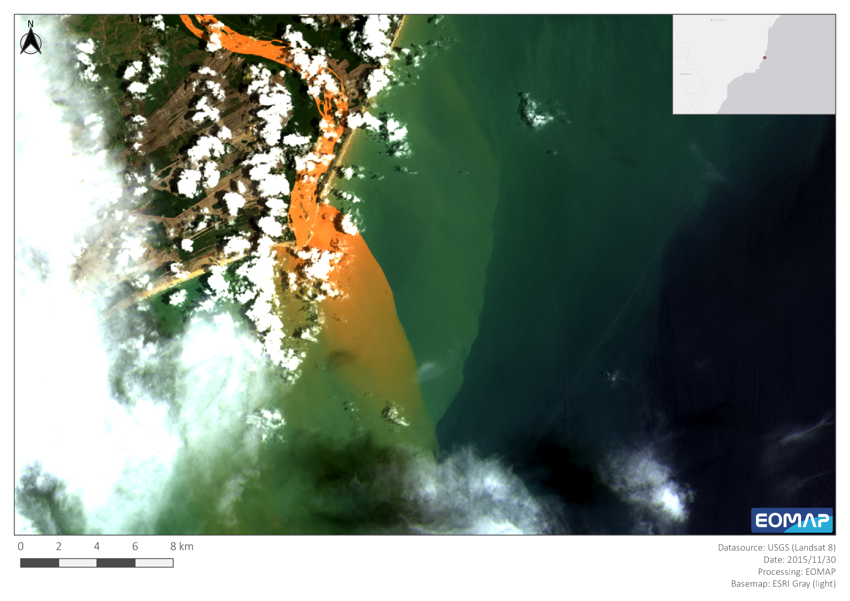
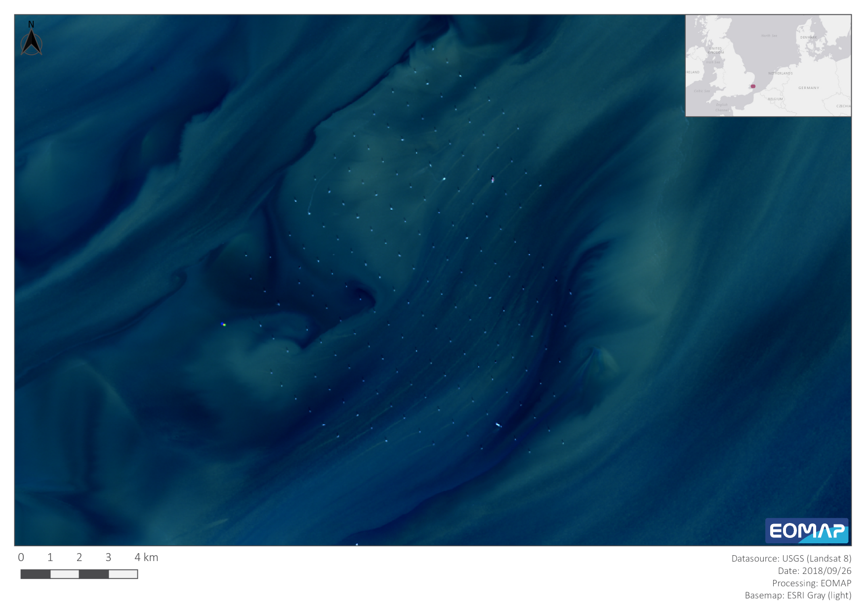
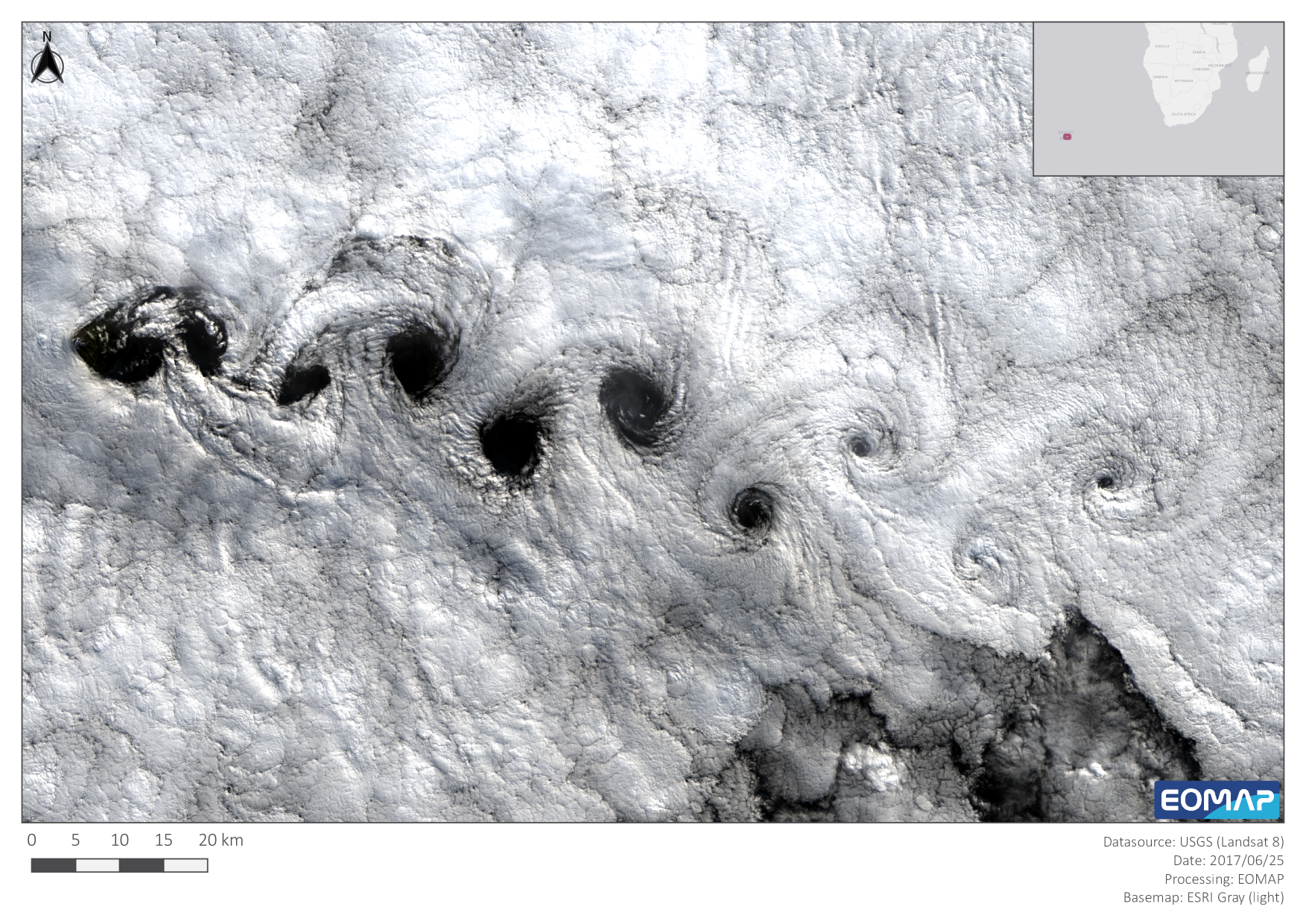
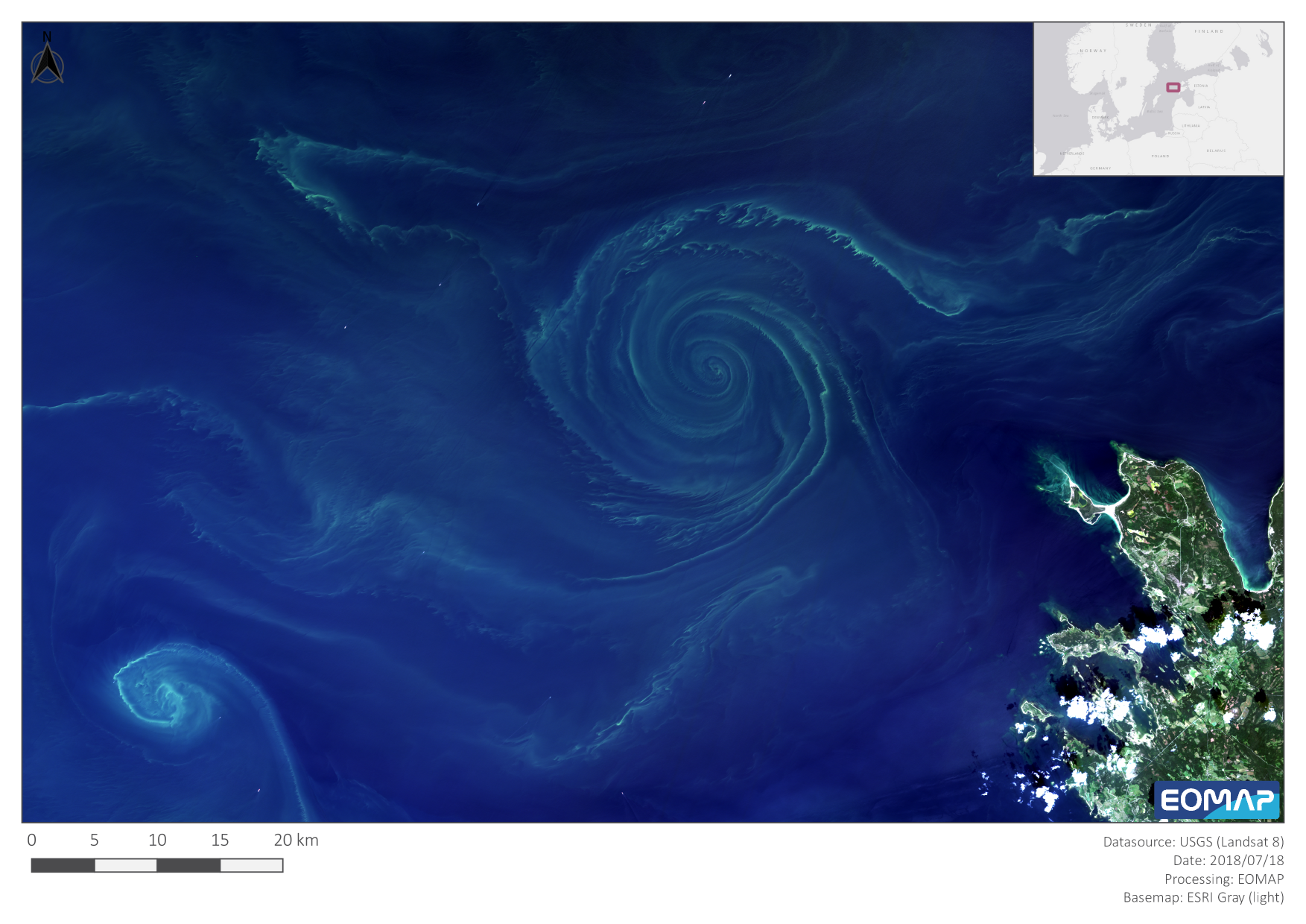
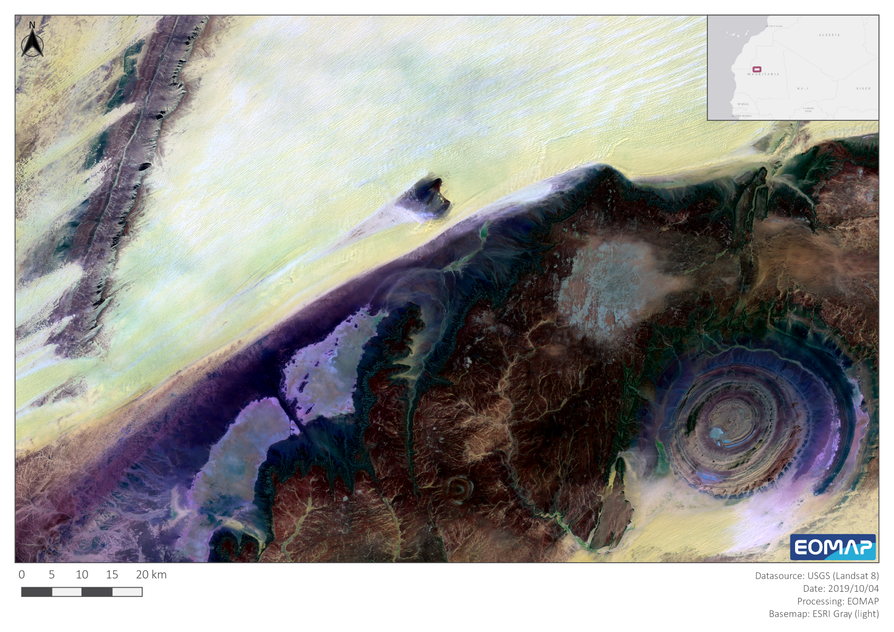
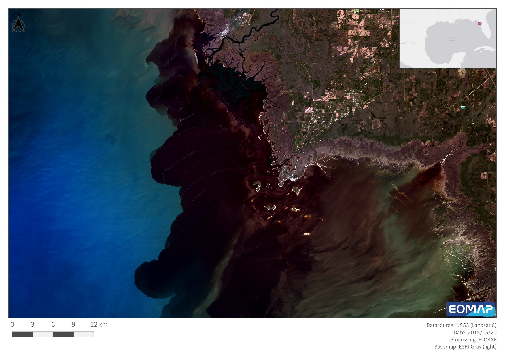
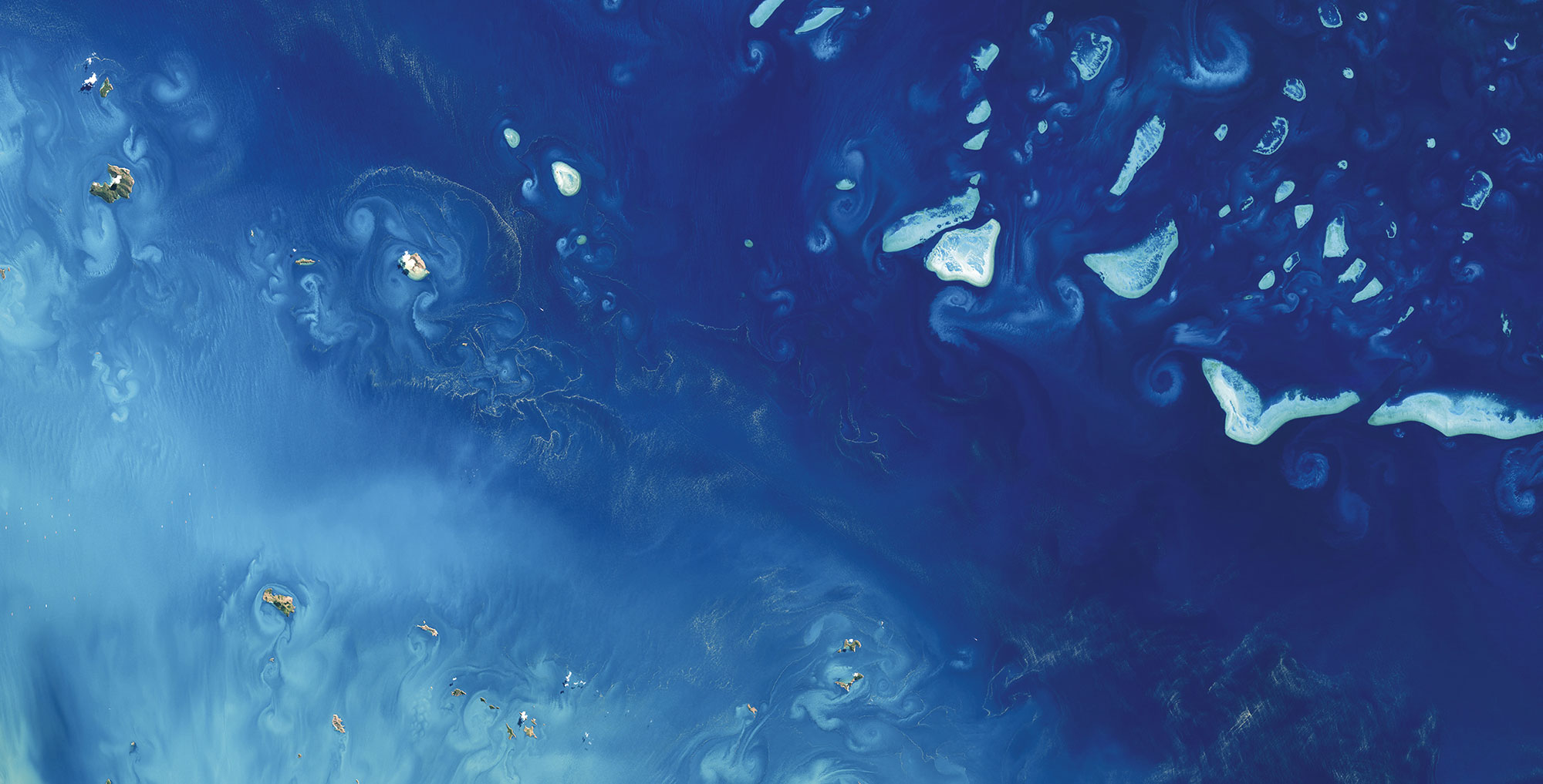
The Landsat program has been a huge success story throughout the course of earth observation history. The most current system, Landsat 8, was launched on February 11th, 2013, and delivered its first image exactly seven years ago, on March 18th of 2013. With a lot of inspiration from NASA’s Image of the Day, we want to celebrate this anniversary by showing some of the most spectacular images from this timespan around the globe.

Latest EOMAP News

Reuters bases Mekong article on EOMAP data
The Development of EOMAP’s Water Quality Platform

UNESCO Water Quality Portal launched

Launching the world’s first comprehensive global water quality atlas with UNESCO

Oman Oil Spill: SDB Mapping of Critical Shallow Waters for Safe Salvage

eoapp DIVE unterstützt die Tauchplanung
Related Posts
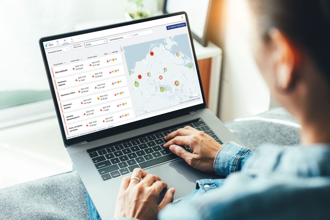
09 / 2026
UNESCO Water Quality Portal launched

03 / 2026
New BD & Sales Manager for the Americas

12 / 2025
A short recap of 2025
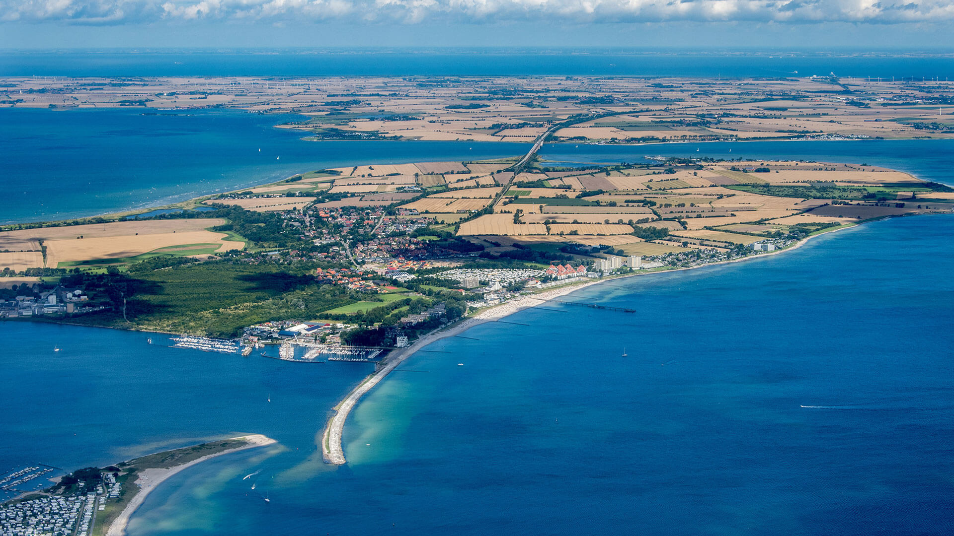
05 / 2025
Planet contract: Supporting Germany’s water monitoring
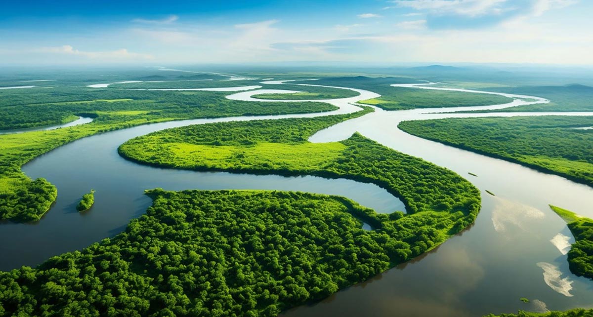
03 / 2025
German Innovation Prize 2025 – EOMAP listed among top 3

03 / 2025
Deutscher Innovationspreis 2025 – EOMAP unter den top 3

02 / 2025
Fugro acquires EOMAP
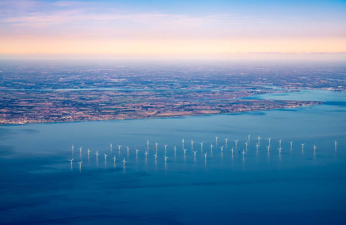
02 / 2025
Fugro erwirbt EOMAP

12 / 2024
A short recap of 2024

12 / 2024

