Map shallow waters from the comfort of your desk

SDB-Online - The Web App for worldwide bathymetry

SDB-Online is the new cloud-based software to create high-resolution bathymetric grids for shallow waters. It builds on EOMAP’s expertise in Satellite-Derived Bathymetry (SDB), a technique to map water depth from space. On World Hydrography Day 2023, we revamped the web app with new features and workflow improvements.

Simplify your workflow!

eoapp SDB-Online allows you to generate bathymetry grids within mouse clicks. Enjoy the following benefits:

WORLDWIDE

High-resolution bathymetry data of shallow waters – anywhere on Earth

FAST AND 24/7

Access relevant satellite images within minutes – from the comfort of your desk

FLEXIBLE

Generate bathymetry grids on any browser. No need for costly hard- or software.

100% COST CONTROL

From the selection of your area until download of SDB grids – pay-per-use

Try SDB-Online now! *

* Register free of charge to access demo data.

EOMAP's technology in a nutshell

  • SDB-Online works in a cloud environment with multiple processes running in parallel. You benefit by very fast processing times.
  • The Web App enables you to analyse shallow waters up to 1x Secchi Disc Depth. Depending on the water clarity, this ranges from 10m in the Southern Baltic to +20m in clear waters of the Caribbean.
  • To even increase accuracy, you can book manual QA/QC by our experts and receive a seafloor classification on demand.
  • SDB-Online has been developed in the course of the 4S project. Learn more about the validation of SDB-Online in these use cases.
  • Here is more details on the technology behind.
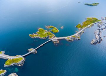
Atlantic Ocean Road

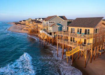
Bathymetric data are highly important for your planning and project phase. BUT shallow water multibeam surveys might not meet your price or time schedule? – SDB-Online will help you overcome this dilemma.

For Coastal Engineers
De-risk your projects
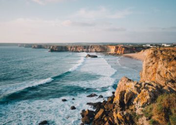
rough coastline in Sagres, Portugal

Decision making is complex in coastal management: You need quick and reliable data on movements of sandbanks, dynamics of the seabed in the past and its current situation. SDB-Online will provide these insights.

For Coastal Zone Managers
Access reliable data
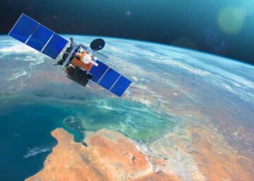
satellite high above a coast

You wish to fill shallow water gaps of your acoustic surveys? – SDB allows you to remotely map the areas in question. So, SDB-Online is a quick solution to your survey problem.

For Bathymetric Surveyors
Map the Gaps
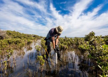
man planting mangrove in wetland

Bathymetry defines the light on the seabed, wave build-up and currents. All of these are crucial parameters for your benthic ecological studies. SBD grids are highly relevant for your purpose, and SDB-Online is a cost-efficient tool. – Just get started!

For Ecological Scientists
Key Parametres for your studies

You know: The predictions of your nearshore wave and current models can be improved significantly by using high resolution bathymetric data in shallow water zones. SDB-Online is a great tool to make your models more precise.

For Hydrodynamic Modellers
Increase accuracy
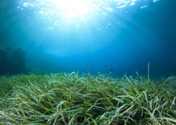
seagrass underwater with the sun shining through the water

In addition to high-res bathymetry grids you can order extra services via SDB-Online, such as the manual QA/QC by EOMAP’s data scientists or Seafloor Classification. Try it or just get in touch to learn more.

For all coastal stakeholders
Service Add-Ons

Trust us on SDB

Satellite-Derived Bathymetry is our key expertise. Coastal planners and engineers, surveyors and hydrographers all over the world value EOMAP’s SDB expertise and data. In 2015 and 2022, EOMAP was selected top-ranked SDB provider by the UK Hydrographic Office. Moreover, bathymetric data by EOMAP are featured in nautical charts and the European harmonized bathymetry grid EMODnet Bathymetry, and we were the first to provide a high-resolution SDB of the entire Great Barrier Reef. Since 2021, we are partnering with Seabed 2030 – a worldwide initiative to map the entire ocean floor by 2030.

Learn more about coastal stakeholders we’ve supported all around the globe.

What users say:

Véro Jegat, Fugro

EOMAP’s SDB-Online is delivering fast and accurate results without the need of ground control data, processing 10 Sentinel-2 scenes in less than one hour. The “Combine ” option is a game changer in challenging locations, especially with frequent cloud cover or heavy vessel traffic.

Véronique Jegat, Senior Geo-Data Engineer at Fugro

We're integrating SDB-Online into our software solutions via API. During prototyping, I was impressed how quickly things came together for the two development teams. Particularly elegant was, how EOMAP combined multiple images of the same area to give the best possible depth estimate. The workflow is already very smooth, and now we‘re keen to work with early adopters to advance these tools.

Jonathan Beaudoin, Managing Director of QPS B.V.

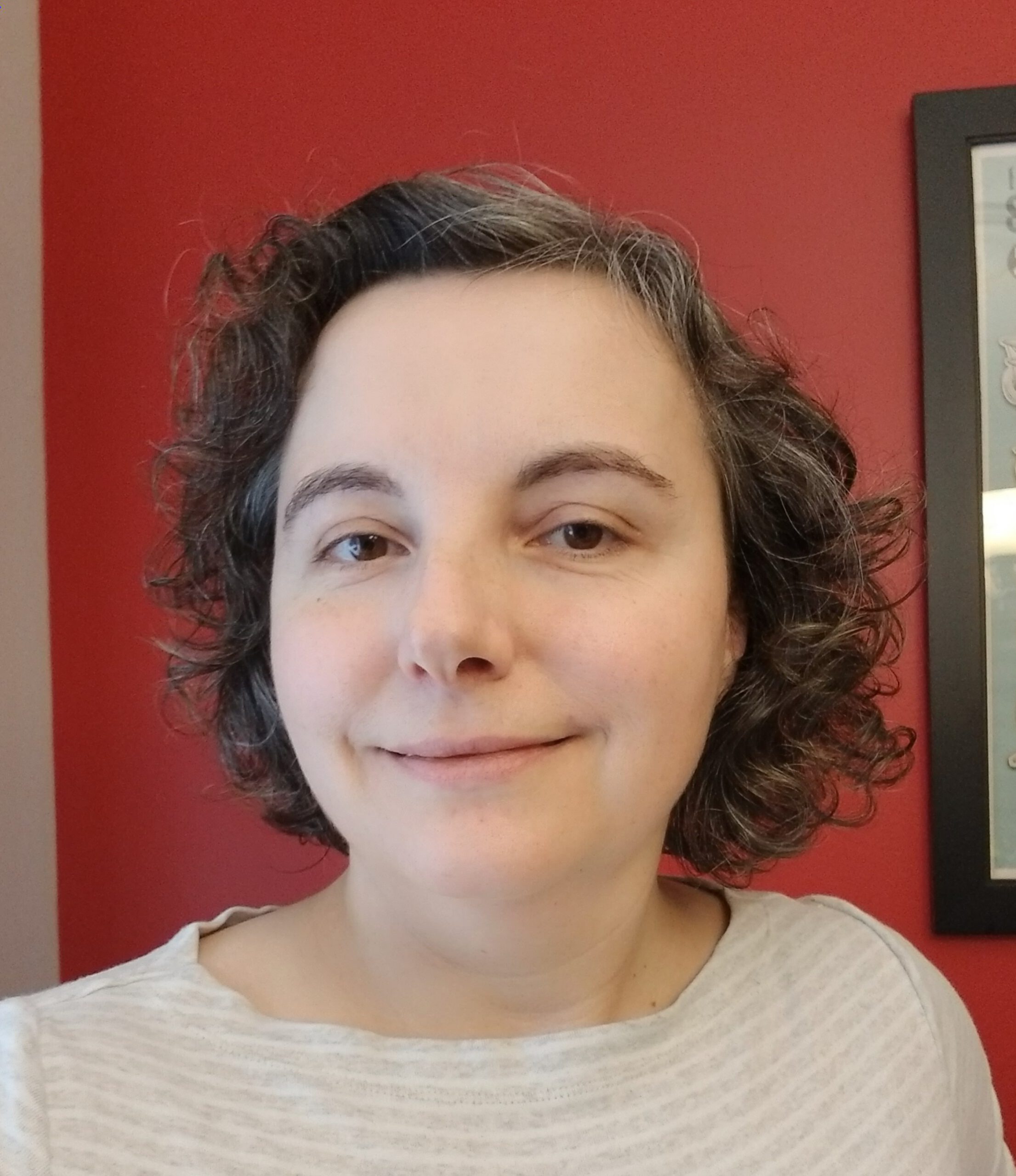
Portrait of Mona Reithmeier, EOMAP

Experts managing or studying coastal shallow waters will experience an incredible time and information gain: Within minutes they can trigger hundreds of automated processing routines and receive high-res bathymetry data for their projects.

Mona Reithmeier, SDB-Online Manager and Data Scientist at EOMAP

Get in touch!

Do you have any questions? – Here are a short video and the most important FAQs.
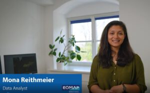
Mona Reithmeier - explaining EOMAP's WebApp SDB-Online in a tutorial

Unleash the power of EOMAP’s Satellite-Derived Bathymetry engine to generate shallow water grids for your projects! –

Contact Product Manager Mona Reithmeier or the shallow water team at sdb-online(at)eomap.com

The project EU Horizon 2020 Logohas received funding by the European Union’s Horizon 2020 Research and Innovation Programme under grant agreement no. 101004221.