Brisbane, Australia, February 2018 – EOMAP Australia, together with project partners IXBlue, have been contracted by the New Zealand Government to map Satellite Derived Bathymetry (SDB) for the Tongan archipelago and surrounding areas. The resulting 2m grid (horizontal resolution) bathymetry product will be one of the largest high resolution SDB mapping campaigns completed worldwide.
EOMAP’s Satellite Derived Bathymetry (SDB) services provide contiguous, 3-D water depth information for shallow waters.This is a critical depth range for marine navigation and for construction of harbors, pipelines and other critical infrastructure in the coastal zone or shallow offshore areas.
Tonga is a Polynesian sovereign state and archipelago comprising 169 islands, of which 36 are inhabited.[1] The total surface area is about 750 square kilometres (290 sq mi) scattered over 700,000 square kilometres (270,000 sq mi) of the southern Pacific Ocean.
EOMAP Australia will be presenting and exhibiting at the ‘What on Earth’ conference in Wellington, New Zealand on March 6-7, 2018. The ‘What on Earth’ conference is organized by the New Zealand Space Agency at an exciting time in the development of the New Zealand Space sector.
Related Posts
01 / 2026
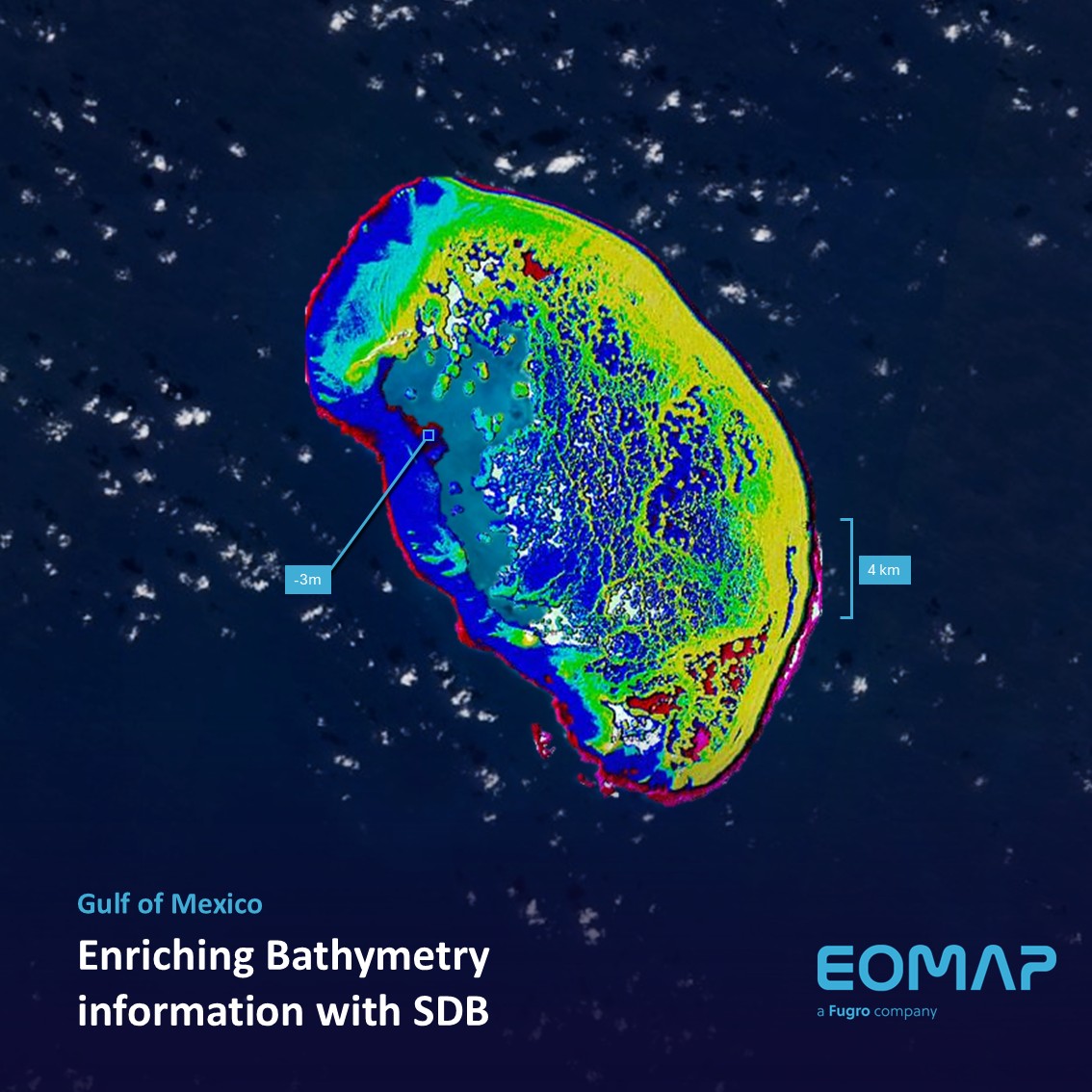
Bathymetry in the Gulf of Mexico

12 / 2025
A short recap of 2025

11 / 2025
Projektstart SEAGUARD
10 / 2025
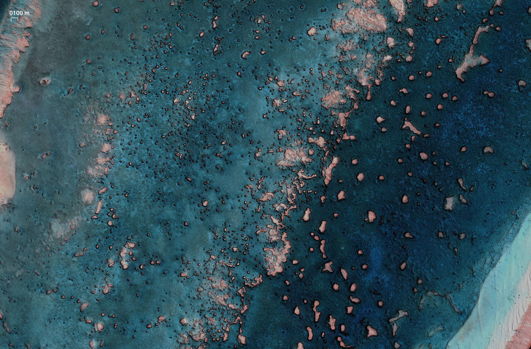
SDB Update #9 – Validation and Accuracy
10 / 2025
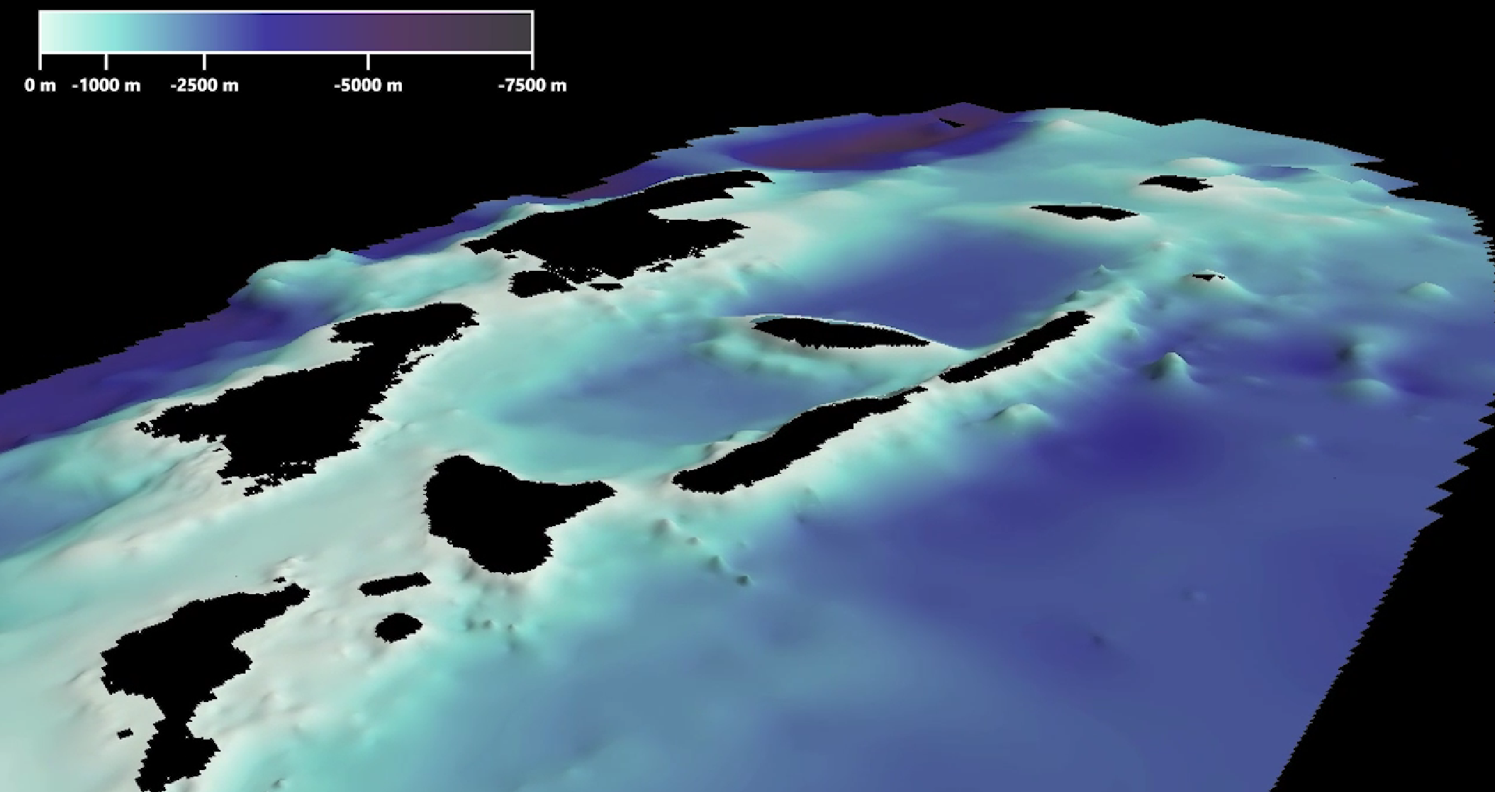
SDB Update #8 – Multisource Bathymetry
08 / 2025
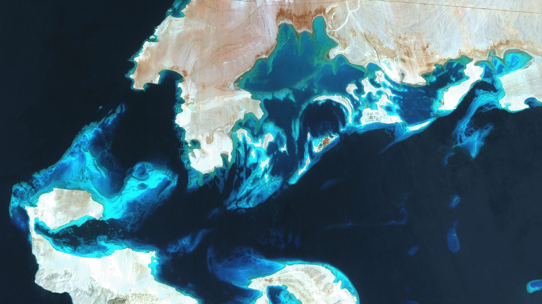
SDB Update #7 – Topobathy of the Red Sea
07 / 2025
SDB Update #6 – Satellite-based Topobathy Models
07 / 2025
SDB Update #5 – Storymap on Satellite-Derived Bathymetry
06 / 2025
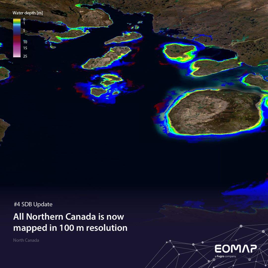
SDB Update #4 – Northern Canada’s shallow waters mapped in 100 m
06 / 2025


