Coastline delineation and coastline dynamics
When it comes to maritime boundary disputes between two States the core questions in a case are often about the identification of the coastline used to generate
the median line. A detailed understanding of the morphology of the coastline is key. Historically, nautical charts have been the reference for identifying the low-tide coast, but today satellite data can be used for this mapping purpose. What sounds like a simple task is very complex. What if the coastline has changed over time? What are the tidal in fluences on the measurement of a low-tidecoast? And how can oneaccount for a dynamic coastline?
Fewer than half of the worlds’ maritime boundaries have been officially agreed. Maritime boundary disputes frequently occur due to commercial, economic and security interests and are a common but underrated investment risk in the energy sector. Those disputes result from bilateral or multilateral negotiations between States. In cases where unresolvable disagreements over the delimitation of a boundary occur, the dispute may be taken to an international court or tribunal for resolution.
These court cases typically include a series of written pleadings followed by oral hearings ofall involved parties during which arguments are exchanged. Each State’s case will include reference to established international law – including the UN Convention on the Law of the Sea (UNCLOS), historic maps and charts, current practice of the States, and other relevant information. Because of a critical provision of UNCLOS that a ›median line‹, a line equidistant from the adjacent or opposing coasts of the States involved, is used as a starting point to resolve disputes, the core questions in a case are often about the identification of the shoreline used to generate the median line. The construction of the line is based on a set of control points along the low-tide coast of each State. A detailed understanding of the morphology of the coastline is key.
Historically, nautical charts have been the reference for identifying the low-tide coast, but today satellite data can be used for this mapping purpose. What sounds like a simple task is very complex in practice.
Read the full article here, page 22. The article was written by Dr. Knut Hartmann, COO, EOMAP and Alexander M. Tait, The Geographer, National Geographic Society and published in the newest edition of Hydrographische Nachrichten, HN 111, October 2018.
Related Posts
01 / 2026
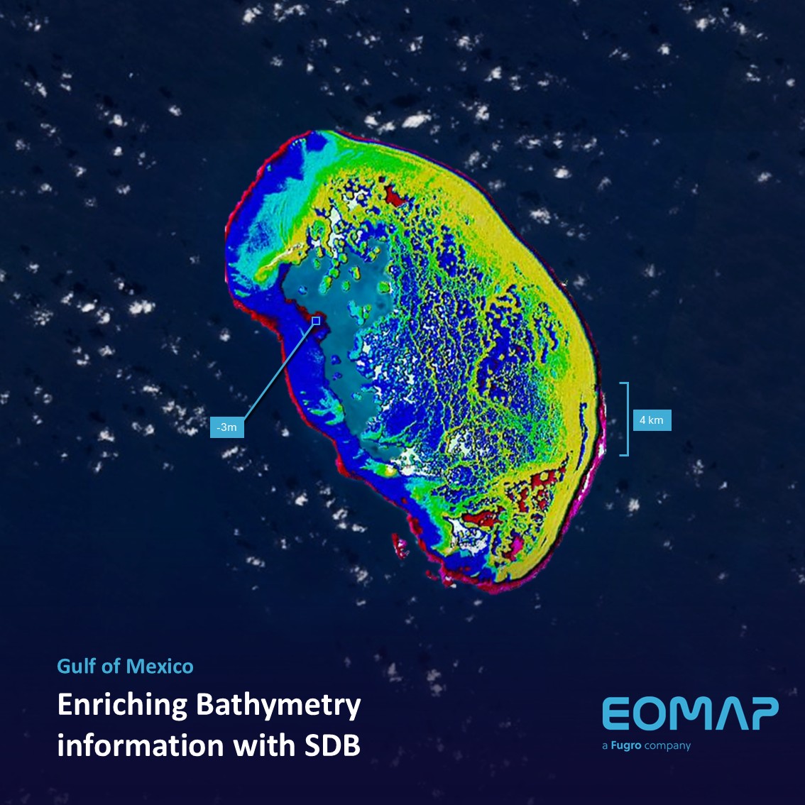
Bathymetry in the Gulf of Mexico

12 / 2025
A short recap of 2025

11 / 2025
Projektstart SEAGUARD
10 / 2025
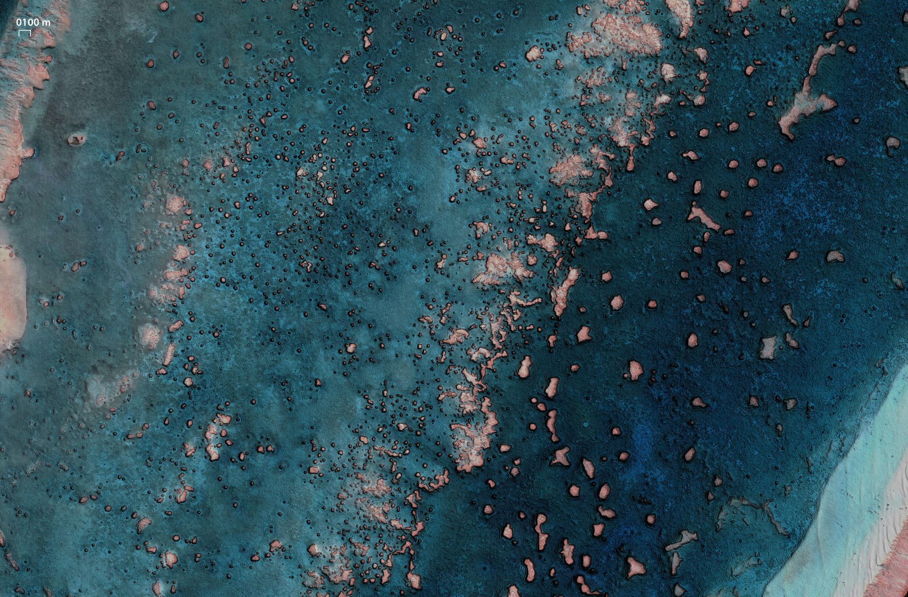
SDB Update #9 – Validation and Accuracy
10 / 2025
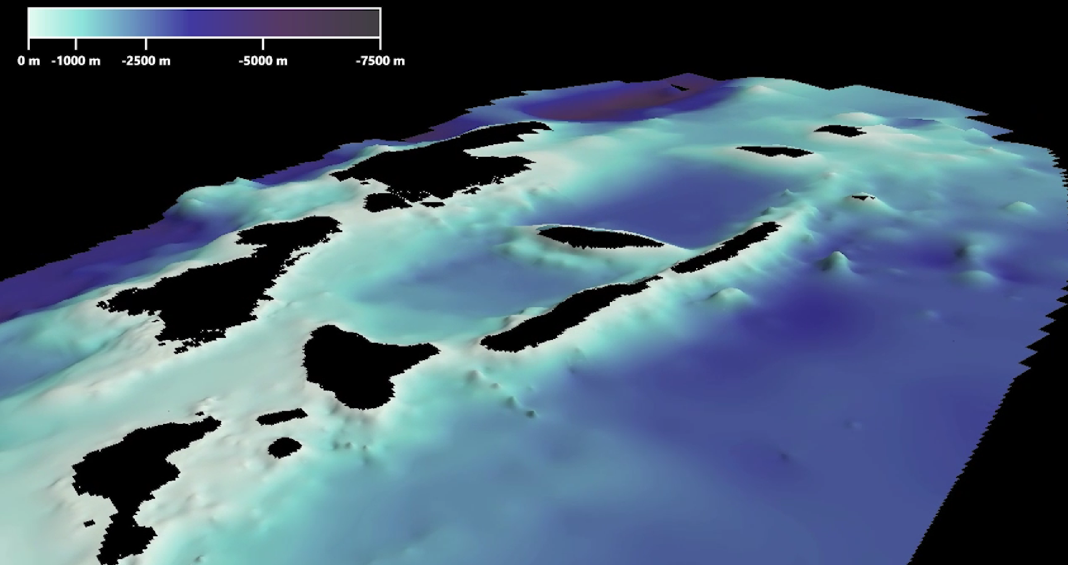
SDB Update #8 – Multisource Bathymetry
08 / 2025
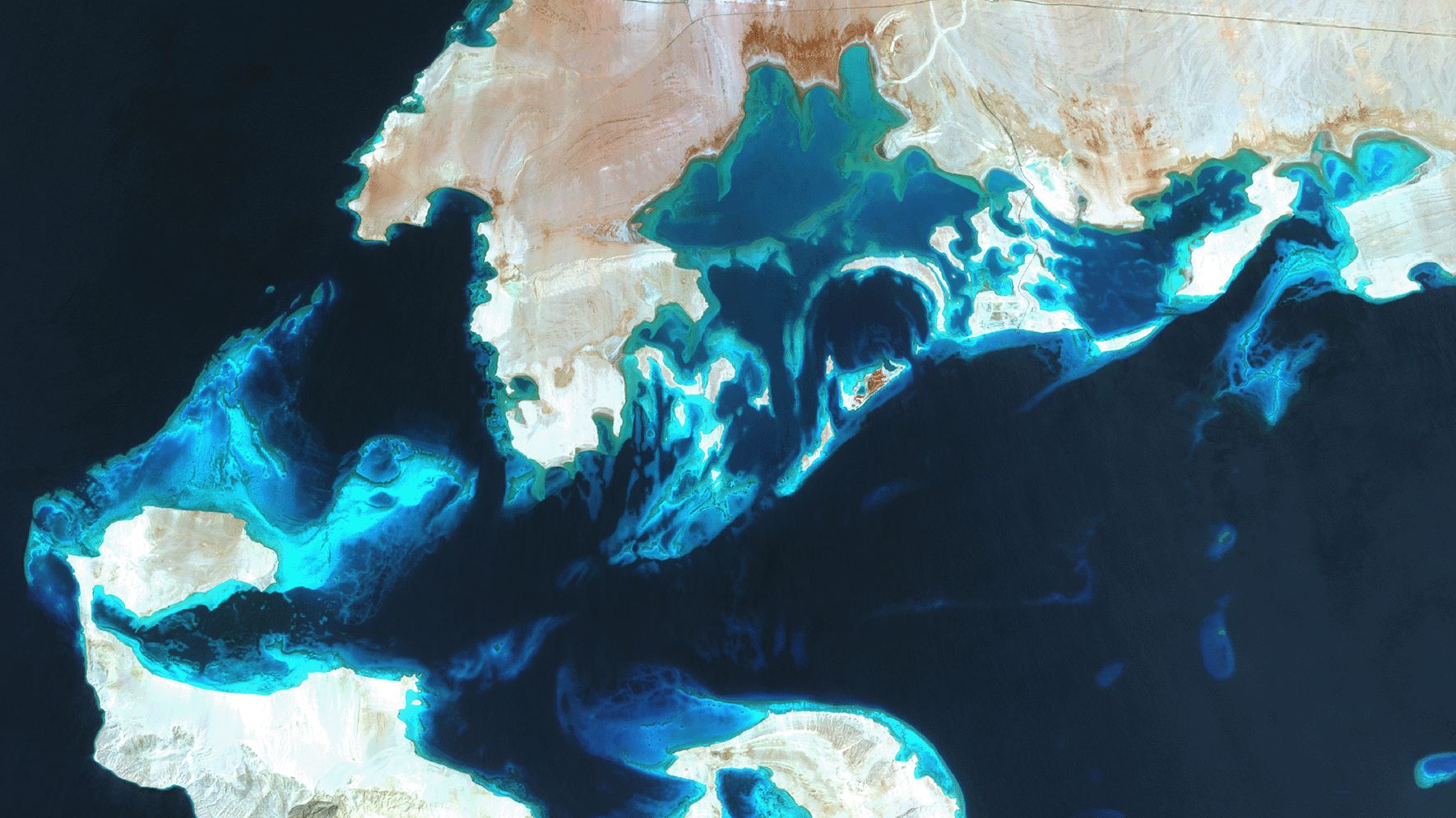
SDB Update #7 – Topobathy of the Red Sea
07 / 2025
SDB Update #6 – Satellite-based Topobathy Models
07 / 2025
SDB Update #5 – Storymap on Satellite-Derived Bathymetry
06 / 2025
SDB Update #4 – Northern Canada’s shallow waters mapped in 100 m
06 / 2025


