Every good gift is from above!
Current satellite information for agriculture throughout Germany will be available soon

Beberbeck/Braunschweig, Sept. 27th 2016
For about 45 years various earth observation satellites are orbiting our Earth. These satellites provide important information about the condition and changes of our environment. In Germany agriculture is by far the largest user of land with approximately 52% of the total area of the country and about 285,000 farms. However, so far the latest information for agriculture from satellite images was mostly available for experts only, since the collection and analysis of data were costly and complicated.
On the Hessian State Domain farm Beberbeck close to Kassel the official launch of the joint project AGRO-DE was held on Sept. 26th 2016. The project consortium, consisting of the Julius Kühn-Institut (JKI), the German Aerospace Center (DLR) and the companies EOMAP and Hanse-Agro, set their goal to prepare timely information from satellite images throughout Germany for agriculture, provided by the Internet. The domain Beberbeck is a demo farm, which will test the new AGRO-DE information products on its usefulness in agricultural practice.
The AGRO-DE project will create a data and analysis cluster, which allows farmers, agricultural consultants, contractors and service providers, to use preprocessed remote sensing information in a timely manner and to integrate them into their operations. The information will be provided in different formats (e.g., as a map or web map service), levels of information (e.g., as image data, information product, or as a dynamic modeling results) and billing models (free and pay).
Background is the European Copernicus program (www.copernicus.eu, www.d-gmes.de). Under the program Sentinel Earth observation satellites will be launched from 2014 onwards, which provide operational satellite data in unprecedented quantity, temporal resolution and technical excellence. For Germany with the new Sentinel-1 satellite every 2-3 days guaranteed information on the development of vegetation are obtained by cloud penetrating radar technology. Every 3-4 days, the multispectral Sentinel-2 systems, will cover the Germany so the chances to get a cloud-free image will increase significantly. Compared to most existing remote sensing missions, raw data are available free of charge. The high temporal, spatial (10-20 m) and spectral resolutions will enable completely new data products that are very interesting for small-scale farms. The EU strategy that the Copernicus program shall also be extended after 2020 with new satellites makes the development of a data and analysis cluster with operational processing chains at long term very interesting.
With the AGRO-DE project all farmers in Germany can benefit for the first time from the latest satellite information. AGRO-DE will provide open access to usable information products, which will stimulate the application of precision farming technologies. These technologies should also appeal to small-scale farms and organic farms. In addition, information products from AGRO-DE can assist research institutions, federal and state agencies and non-governmental organizations (NGOs) in their work, as standardized information products for Germany become abailable.
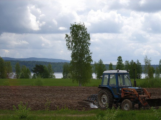
Featured image shows a field in Siljan, Sweden, 2009. Photo credits: Stefan Heilscher, SIWI.
