News and interesting facts from EOMAP
NEWS & EVENTS
03 / 2020
Another year in the books for Landsat 8
The Landsat program has been a huge success story throughout the course of earth observation [...]
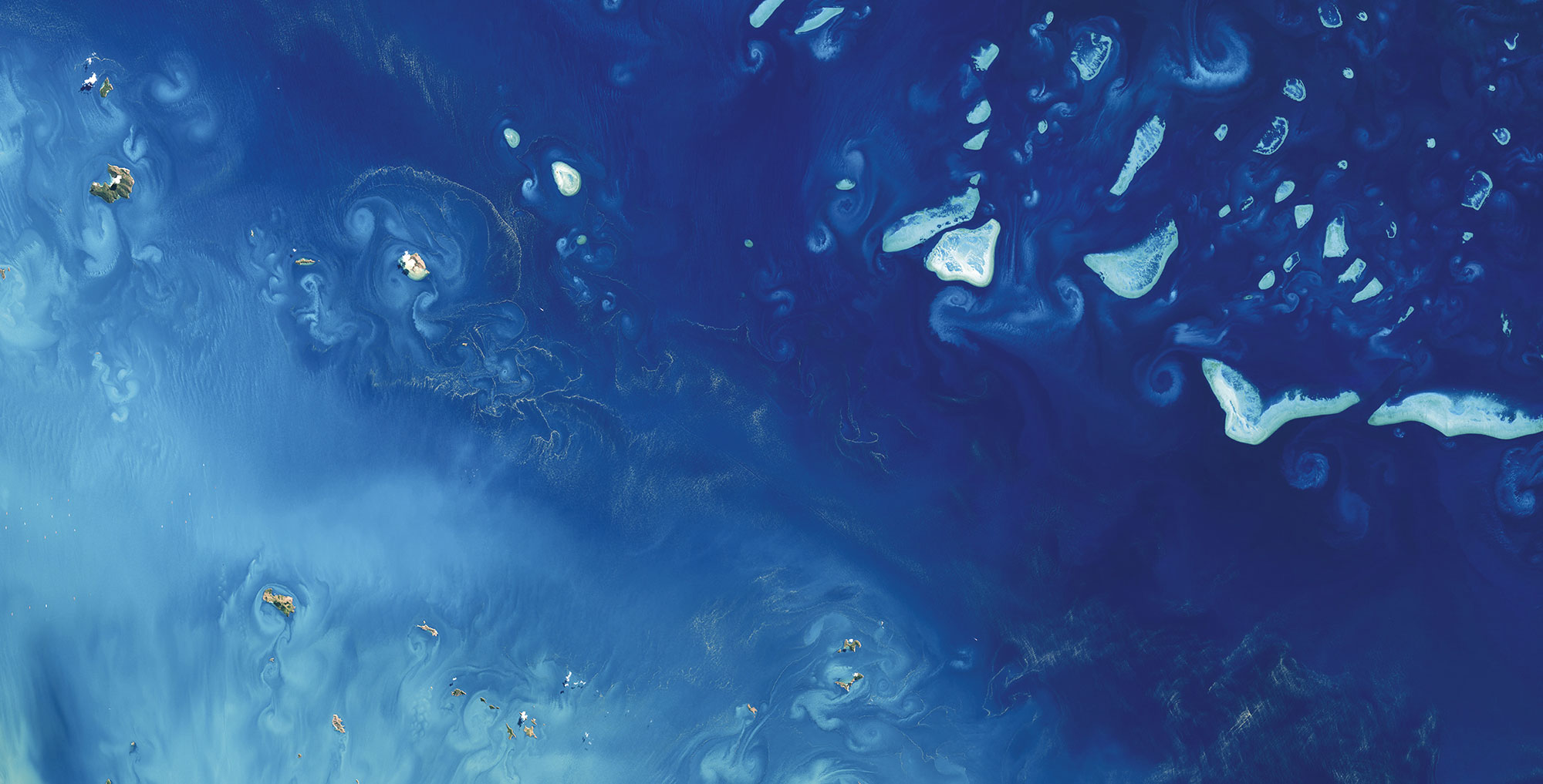
02 / 2020
Celebrating four years of Sentinel-3
Sentinel-3A was launched on February 16th 2016 and delivered its first image only two weeks [...]
02 / 2020
EOMAP announces Edward Albada as representative for North Americas and Caribbean
EOMAP is proud to announce Edward Albada as the newest member of the team, representing [...]
09 / 2019
EOMAP wins funding for next-generation technology for Satellite-Derived Bathymetry
EOMAP has been awarded by the German Aerospace Center (DLR) to further develop its unique [...]

07 / 2019
MARSAT- Increasing safety and efficiency in maritime operations using satellite information
A German consortium has devised solutions to challenges facing the maritime industry: A new service [...]
06 / 2019
Hot summer 2018 and Cyanobacteria: Data from space support impact evaluation over whole Germany
English version Summer 2018 is known to be the second warmest summer since the beginning [...]

04 / 2019
What’s behind the ground-breaking 3D habitat map of the Great Barrier Reef?
International aquatic remote sensing company EOMAP will showcase its unique contribution to the world-first 3D [...]

03 / 2019
World Water Day
Today, the United Nations' World Water Day aims to raise awareness for the global freshwater [...]

03 / 2019
Dredging in the Maldives – How satellites can help
The Sentinel Benefits Study (SeBS) conducted by the European Association of Remote Sensing Companies (EARSC) has recently [...]
