News and interesting facts from EOMAP
NEWS & EVENTS

04 / 2018
First International Satellite-Derived Bathymetry Conference Announced
Hydrographic institutions, government agencies and industry to discuss capabilities, data integration, requirements and quality standards [...]

03 / 2018
EOMAP delivers Satellite Derived Bathymetry for European coastal waters
EOMAP appointed Satellite Derived Bathymetry provider for European Bathymetric Data Portal Seefeld, Germany, 8 March [...]

03 / 2018
EOMAP contracted by New Zealand Government for mapping Satellite Derived Bathymetry
Brisbane, Australia, February 2018 - EOMAP Australia, together with project partners IXBlue, have been contracted [...]

02 / 2018
Using Satellite Data for Early Warning and Detection
Using Satellite Data in Early-Warning and Detection: EOMAP partner in newly EU funded HazRunOff project [...]

02 / 2018
Predictive Habitat Mapping: Satellite-Derived Bathymetry Supports Coral Reef Restoration Efforts
Satellite-Derived Bathymetry Technology Supports Coral Reef Restoration Efforts Dr. Chris Roelfsema at the University of [...]

02 / 2018
EOMAP wins UK Hydrographic Office contract for providing Satellite Derived Bathymetry for Tuvalu atolls
Satellite surveying tool helps to improve ship navigation Seefeld, 22 February 2018 – EOMAP [...]

01 / 2018
Ocean colour scene
High-resolution, current bathymetric data is important to an increasing number of applications and stakeholders. It’s [...]
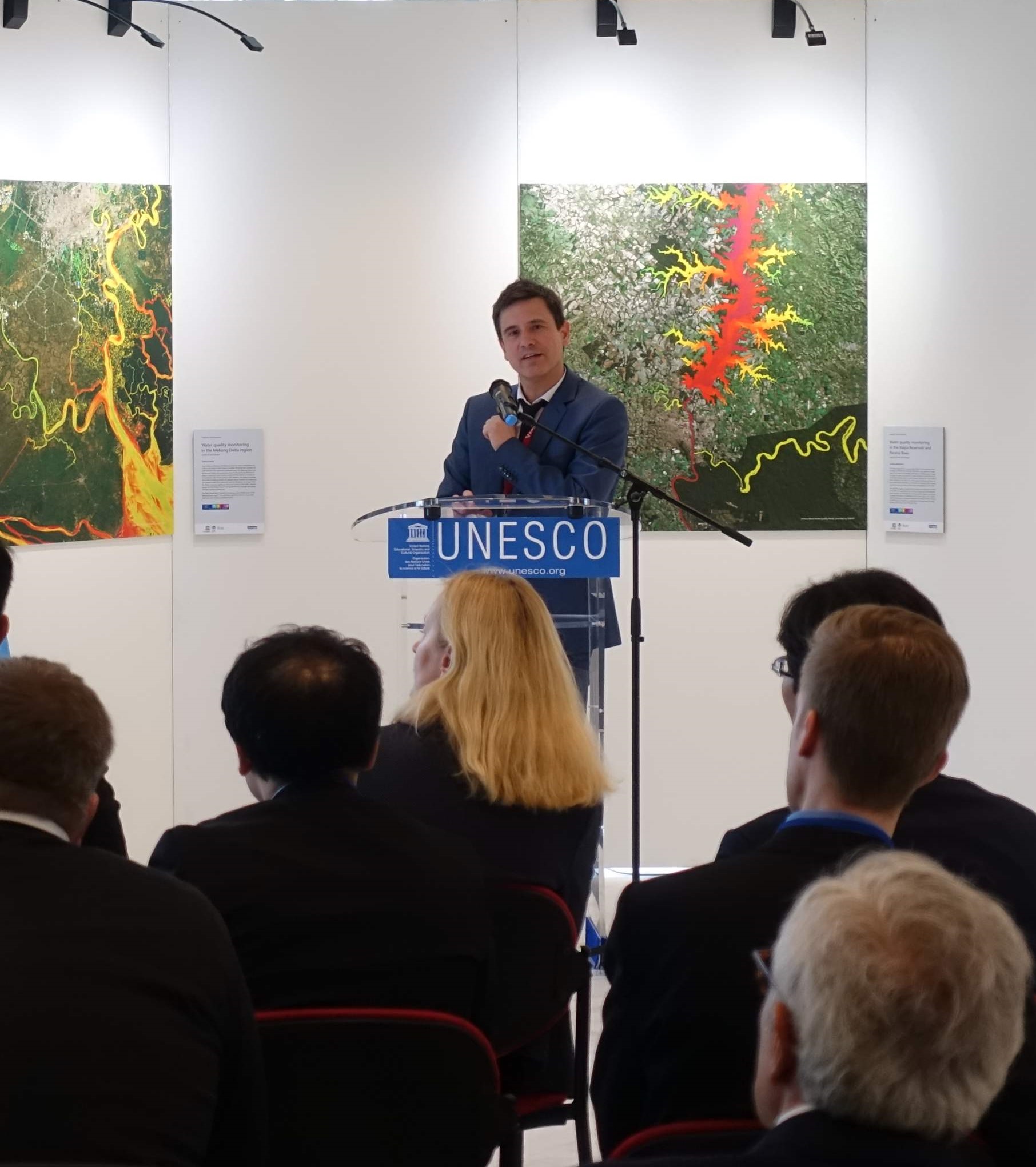
01 / 2018
UNESCO Exhibition “Water Quality from the Space: Mesmerizing Images of Earth Observation”
The exhibition is organized by the UNESCO-IHP International Initiative on Water Quality (IIWQ), in partnership [...]

01 / 2018
EOMAP launches World Water Quality Portal for UNESCO programme
[vc_custom_heading text="World’s First Global Water Quality Portal Built to Support UNESCO Programme" font_container="tag:h3|text_align:center" use_theme_fonts="yes"] UNESCO [...]
