News and interesting facts from EOMAP
02 / 2024
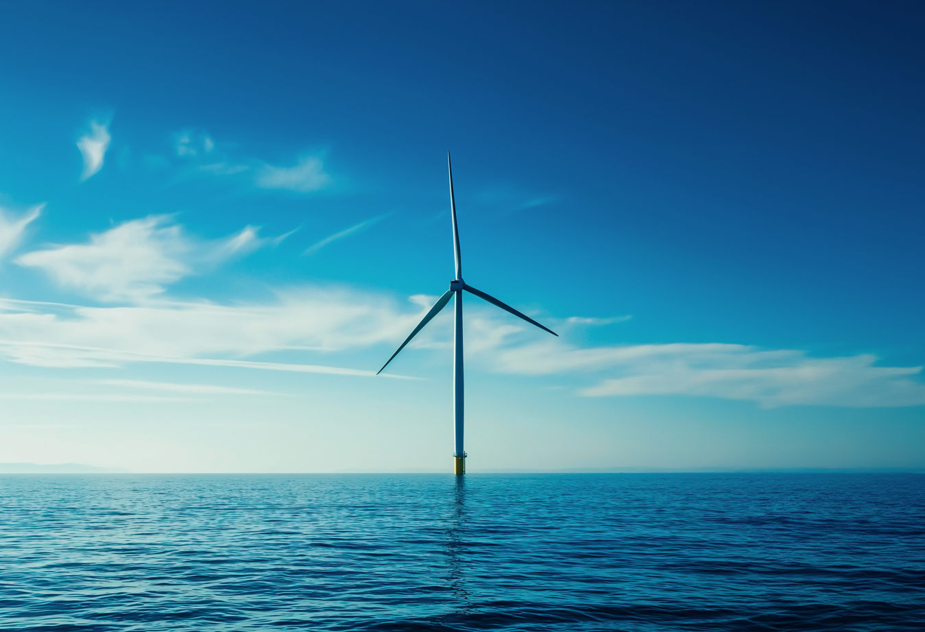
Press release Harvesting Earth Observation data for offshore renewables: BLUE-X project kicked off to speed [...]

01 / 2024
Press release European cooperation on satellite mapping The Danish Geodata Agency and EOMAP will join [...]
12 / 2023
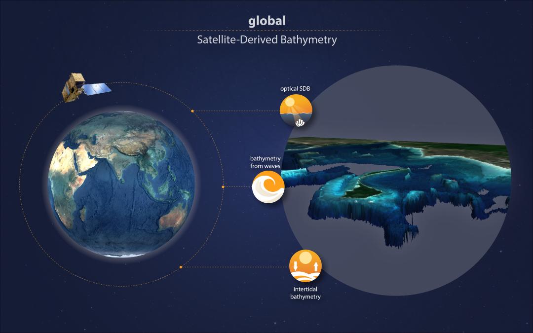
Press release Mercator Ocean International contracts EOMAP to provide global shallow water bathymetry for [...]
12 / 2023
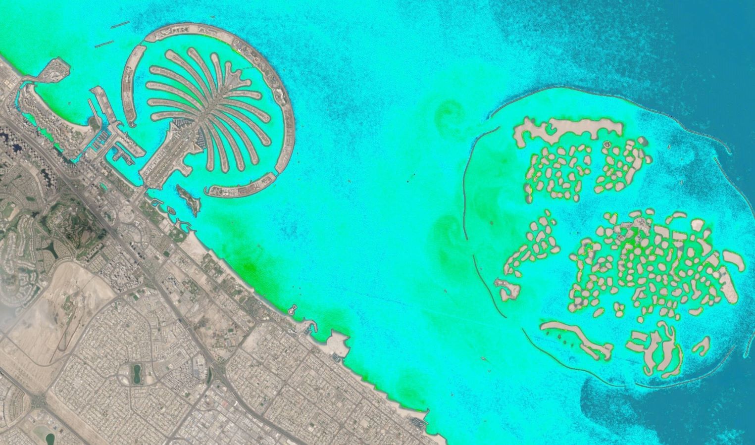
How satellite-based knowledge benefits coastal zones This topic was at the centre of our [...]
11 / 2023
Press release EOMAP has been awarded the CASSINI Prize for Digital Space Applications - ‘Eyes [...]

09 / 2023
Satellite-based lake monitoring The federal state of Baden-Württemberg in the South West of Germany is [...]
08 / 2023
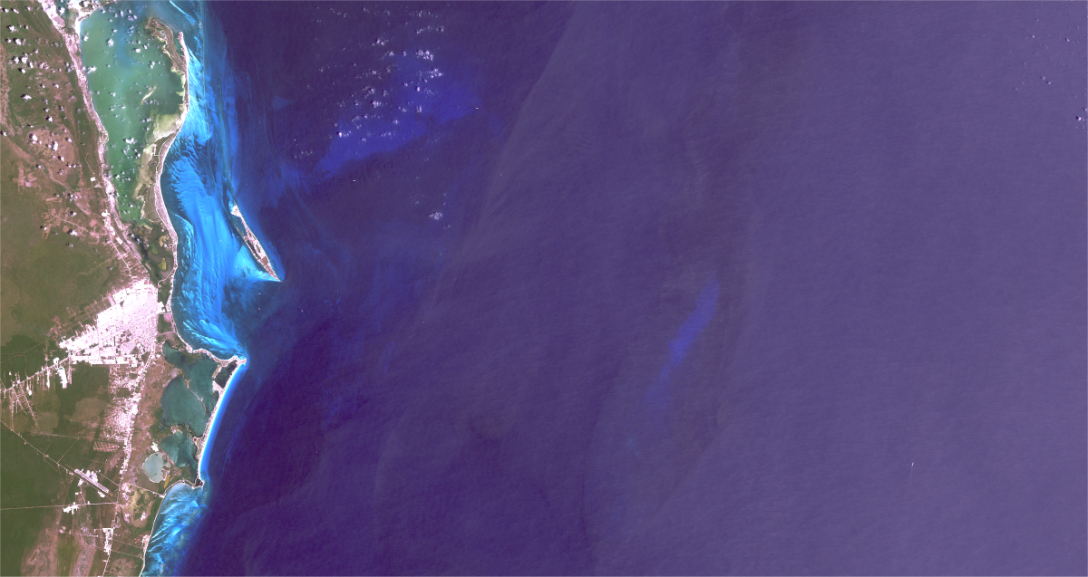
Explore the digital twin of a unique reef ecosystem In cooperation with EOMAP, CONABIO has [...]
08 / 2023
Sediment Management from Space HYPOS is a new toolbox for efficient sediment management in the [...]

08 / 2023
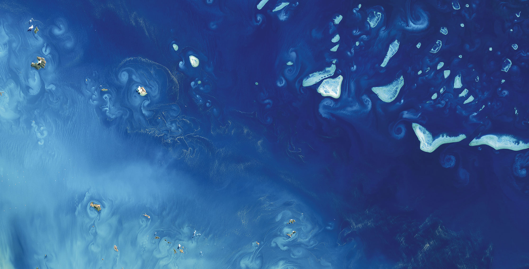
SDB and seafloor data go public Ashmore and Cartier Island Marine Park maps of Satellite-Derived [...]

+49 (0) 8152 9986 110
EOMAP GmbH & Co. KG
Schlosshof 4a
82229 Seefeld, Germany
Copyright 2026 EOMAP GmbH & Co. KG • Imprint • Privacy Policy • Cookie settings
Interested? Please contact us for further information or to purchase a license.
+49 (0) 8152 9986 110
Schlosshof 4a
82229 Seefeld, Germany
Rahul Sidharth
Director Business Development & Operations
Fugro, S51303, JAFZA, PO 262066
Dubai, UAE
Edward Albada
Principal EOMAP USA – N. Americas and Caribbean
+1 (805) 335-0495
+1 (868) 387-0121
Santa Barbara
California, USA
Emily Twiggs
Manager – Business Development EOMAP (APAC)
+61 (0) 410 374 396
Level 1, Fugro Building, 1060 Hay Street,
West Perth, WA 6005, Australia
