ABOUT THE PROJECT
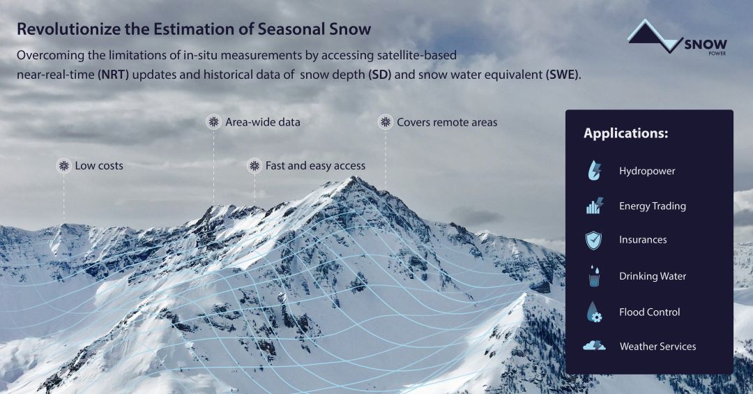
SnowPower is an innovation project led by EOMAP. The target is to provide accurate snow information for large, even very remote mountainous areas, using satellite data. Water stored in snow is of high relevance to the hydropower sector, but also to drinking water providers, insurance and re-insurance companies, water management and meteorological services or energy traders and solar park operators.
The project benefits significantly from the expertise of our partners, the Finnish Meteorological Institute and Snowcap, Belgium.
Information about snow depth (SD) and the water volume stored in snow (snow water equivalent – SWE) is particularly crucial for the hydropower sector. Especially during Spring when the snow melts, there is a need for precise data on both to optimise energy production. However, retrieving SD and SWE data in extensive mountainous regions by traditional methods, such as in-situ measurements or Light Detection and Ranging (LiDAR) overflights, is not only limited in time and personnel. It is also highly expensive to execute.
Now, SnowPower represents a solution to cover wider geographical areas in more detail, more efficiently and at lower cost than ever before: Using state-of-the-art technology, our partner SnowCap retrieves precise snow depth information from active radar data in vast areas. Combining this satellite-retrieved data with advanced data assimilation techniques, a physics-based snow model is fed to generate daily Snow Water Equivalent (SWE) information at a resolution of 500 meters.
This results in:
📏 Seamless SWE data availability for vast mountainous regions, such as Scandinavia or the entire Alpine arch
🗺️ Merged SWE information for non-mountainous areas, offering comprehensive regional coverage
📈 Enhanced visualization, export, and analysis via eoapp HYPOS by EOMAP to support decision-making processes.
Within this project, we support the Enel Group in managing reservoir levels and optimising electricity production of their hydropower plants across the Alpine and Apennine areas.
SnowPower is developed under ESA’s Business Application and Space Solutions programme.
Together with our partners, we strive to revolutionise how to estimate water reserves stored as snow.
MEDIA

SUMMARY
Finnish Meteorological Institute, Finland and Snowcap, Belgium
Snow Water Equivalent
Snow Water Equivalent, Snow Depth, water volume, modeling, Alps, Sentinel-1
LINKS
Story about Snowpower by ESA Space Solutions
eoapp HYPOS – hydropower monitoring at your fingertips