Seafloor Classification
Seafloor properties, the extent of habitats and their health – all of this can be seen from space. For your environmental studies, satellites offer a highly efficient and safe way to classify coastal habitats. At EOMAP, we help you translate this data into decision-ready information on the seafloor’s nature.
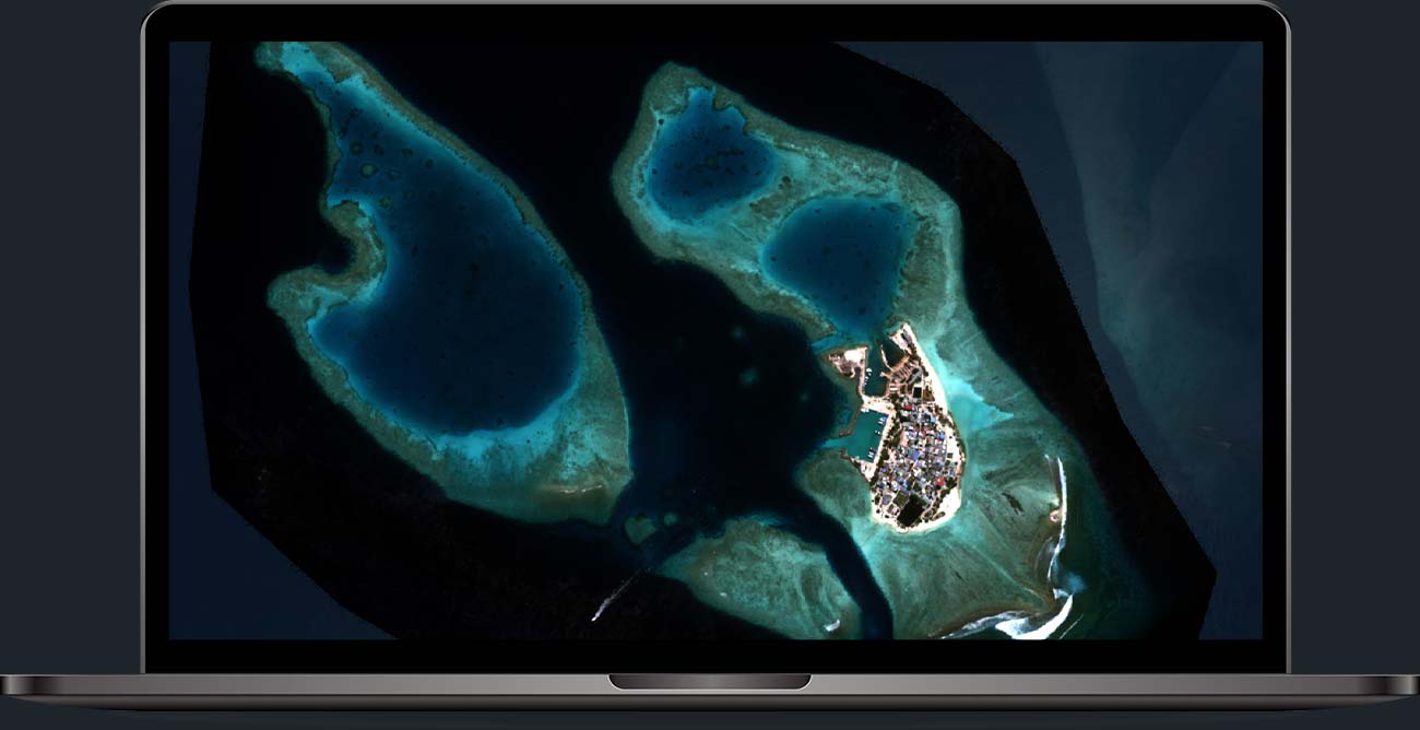
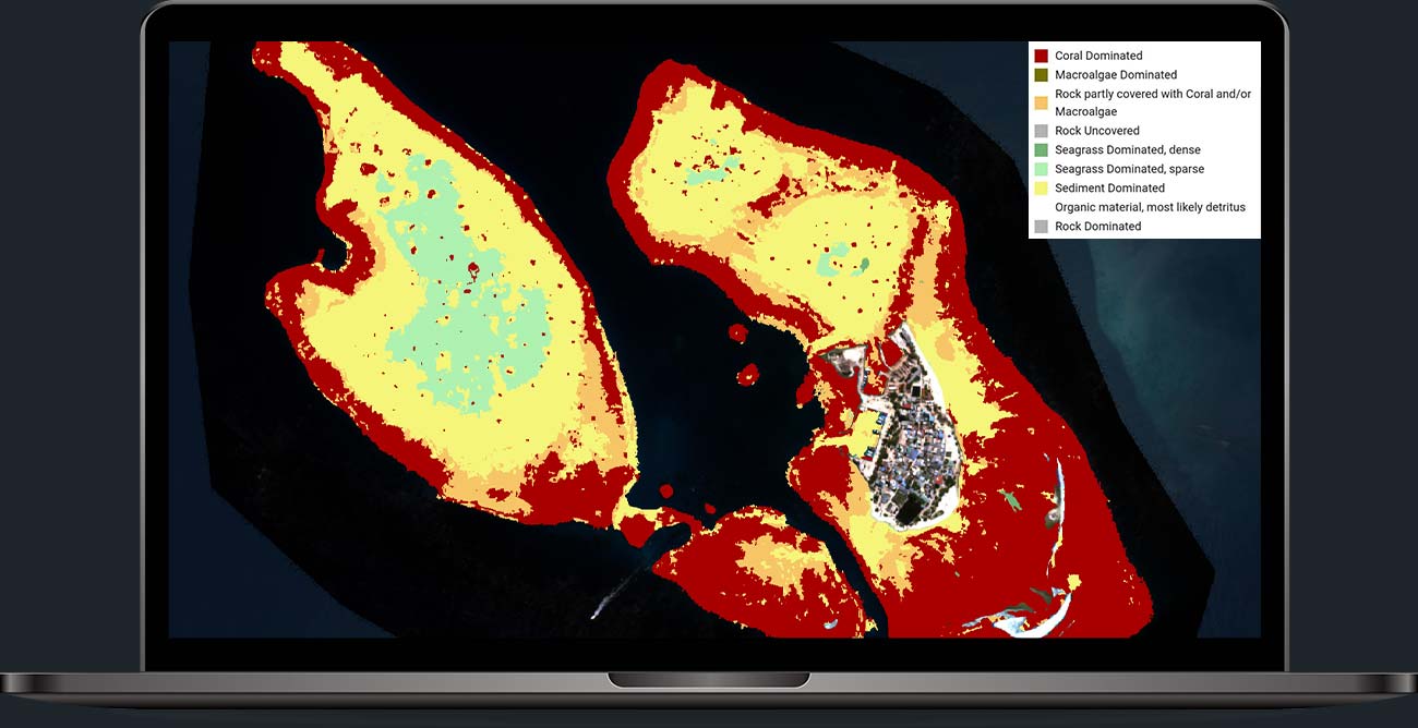
How your Seafloor Classification could look
Build your work on a clear view of the seafloor over vast areas and even explore changes over time.
Rapid and robust seafloor analyses
Rely on standardised mapping methods of benthic cover and habitat: Let’s classify the seafloor of your interest, what is growing there and how to preserve it! EOMAP’s seafloor classification will help you monitor your marine operations, map seabed changes or document the impact of construction works.
Why choose EOMAP Seafloor Classification?
Efficiency
Time savings
This satellite-based approach helps you reduce or avoid time intensive on-site data collection.
Global experience
Wide coverage
Access up-to date seafloor information for large and remote areas.
Historical data
Relevant satellite sensors have been orbiting the Earth since the 1990s. Therefore, we can look back on the development of seafloor and benthic habitats up to 30 years.

