
News and interesting facts from EOMAP
NEWS & EVENTS
12 / 2022
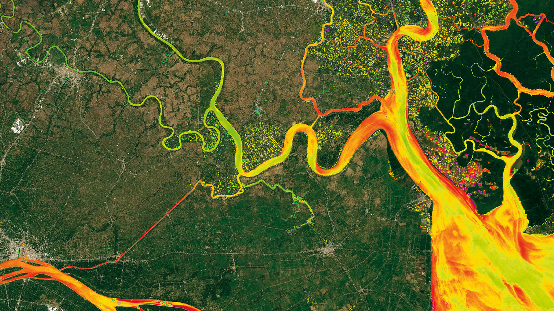
Reuters bases Mekong article on EOMAP data
Reuters visualises the Mekong River's way down to the estuary in Viet Nam. In [...]
10 / 2026
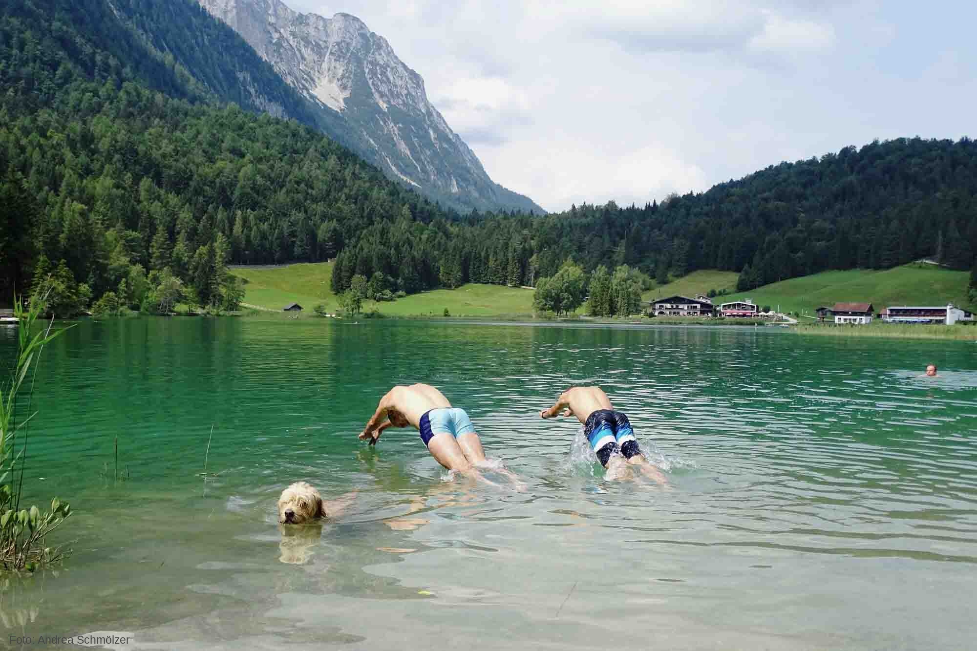
So machen Tourismusregionen saubere Gewässer sichtbar
Saubere Gewässer sind im Tourismus ein Standortvorteil, aber nur, wenn Gäste dem Wasser vertrauen [...]
09 / 2026
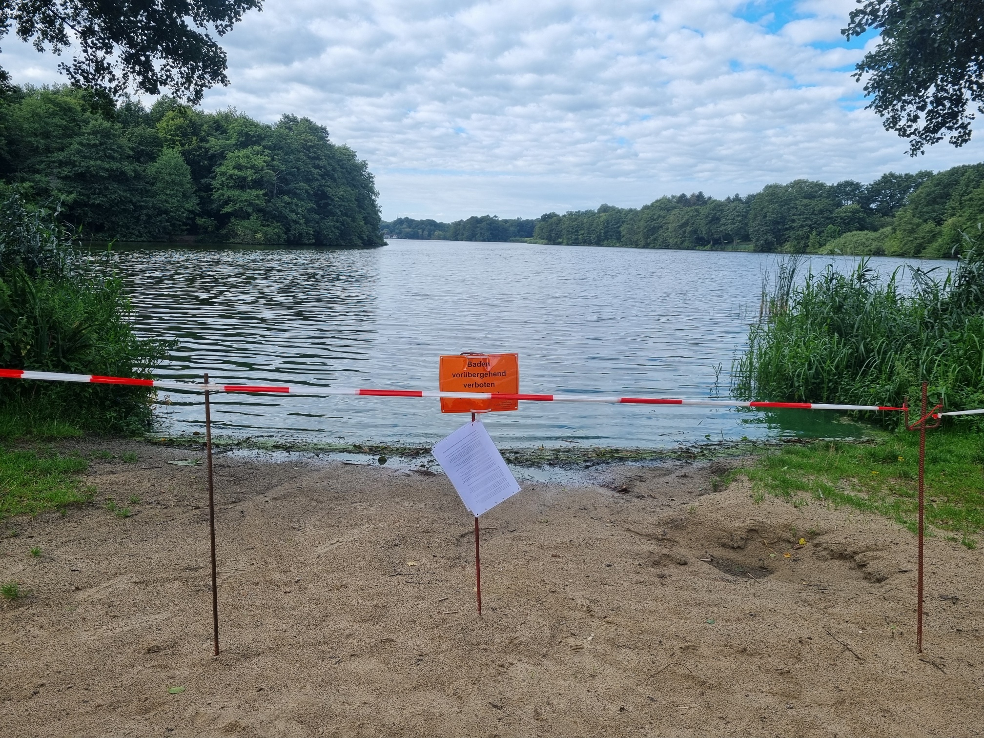
Blaualgen per Satellit: Jede Badestelle im Blick
Blaualgenblüten entstehen oft binnen weniger Tage, die nächste Wasserprobe kommt oft aber erst Wochen [...]
09 / 2026
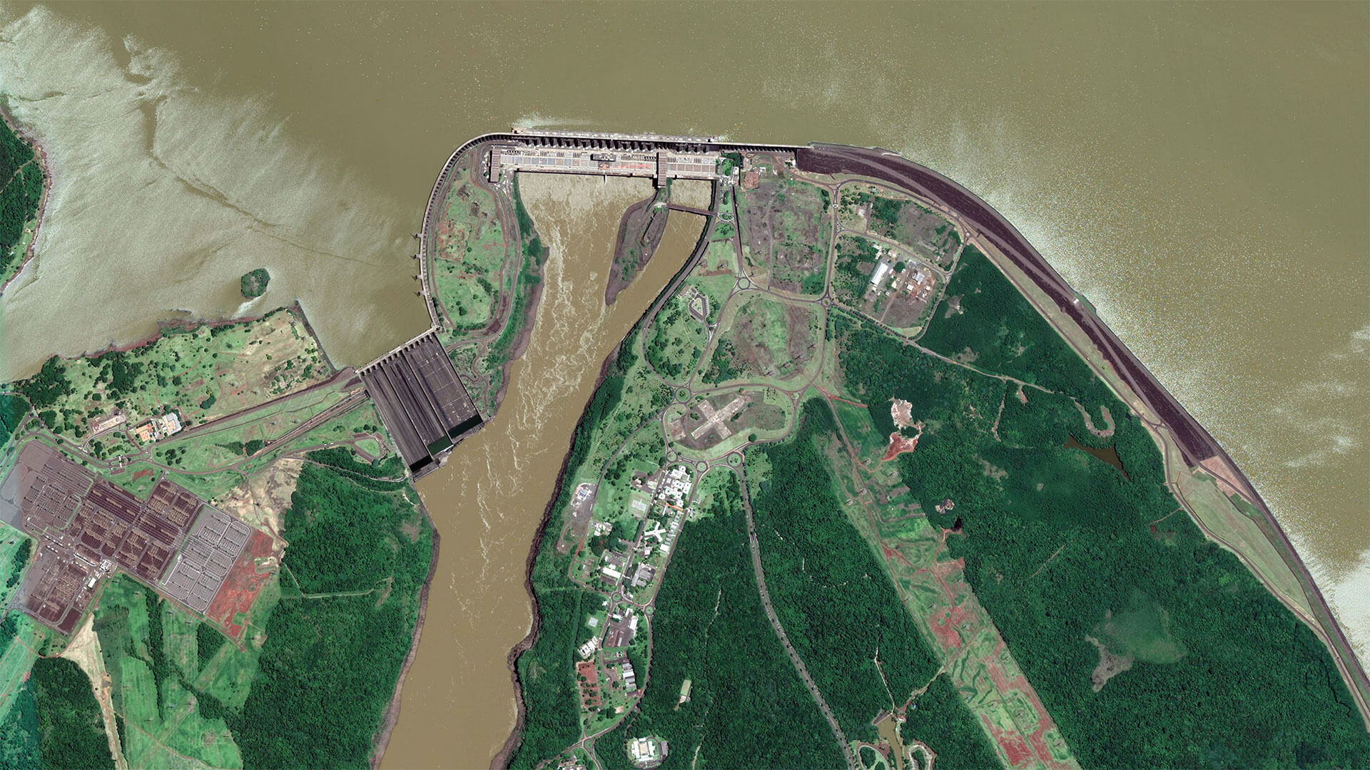
The Development of EOMAP’s Water Quality Platform
Milestone #8: From eoLytics Water Quality to eoapp AQUA Water bodies worldwide are under growing [...]

08 / 2026
Launching the world’s first comprehensive global water quality atlas with UNESCO
Milestone #7: Launching the world's first comprehensive global water quality atlas with UNESCO. Turning satellite [...]
08 / 2026
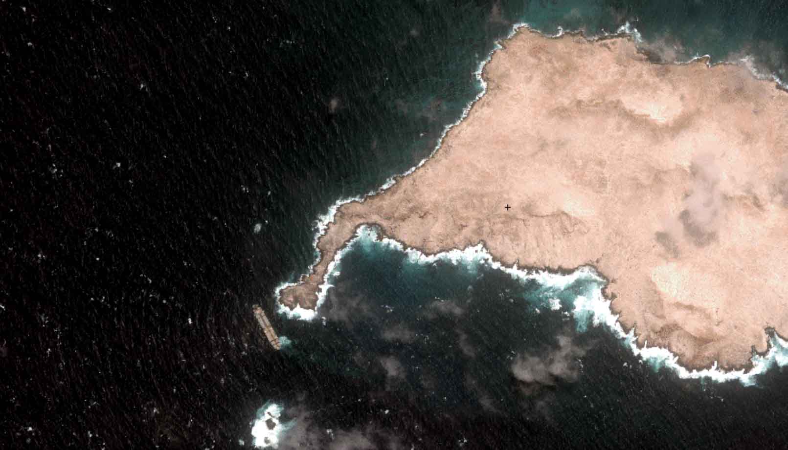
Oman Oil Spill: SDB Mapping of Critical Shallow Waters for Safe Salvage
Oil spill spanning hundreds of km² at the coast of Oman: Satellite-Derived Bathymetry (SDB) [...]

08 / 2026
eoapp DIVE unterstützt die Tauchplanung
Sichttiefe, Algenkonzentration, Wassertemperatur und Wellengang entscheiden oft darüber, ob ein Tauchgang zum Erlebnis wird [...]

07 / 2026
UKHO’s highest-ranked Satellite-Derived Bathymetry provider
Milestone #6 worth celebrating: The year we became UKHO’s highest-ranked Satellite-Derived Bathymetry (SDB) provider. First [...]

06 / 2026
Mapping the ‘unmappable’ Great Barrier Reef
Milestone #5 in EOMAP's 20 years history: Mapping what was once considered 'unmappable' - [...]
06 / 2026
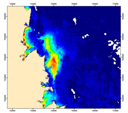
Dredge plume monitoring using satellite-based turbidity mapping
Milestone #4: Large-scale dredging monitoring using satellite-based turbidity mapping. In 2007, Woodside energy required [...]

