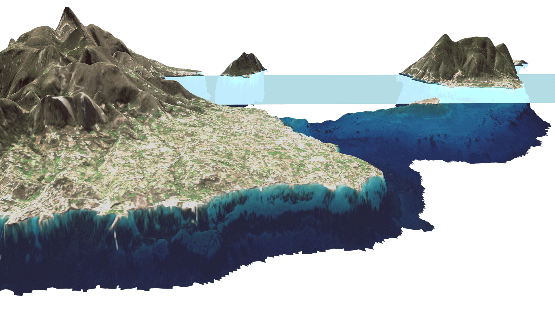
Hydrography and Navigation
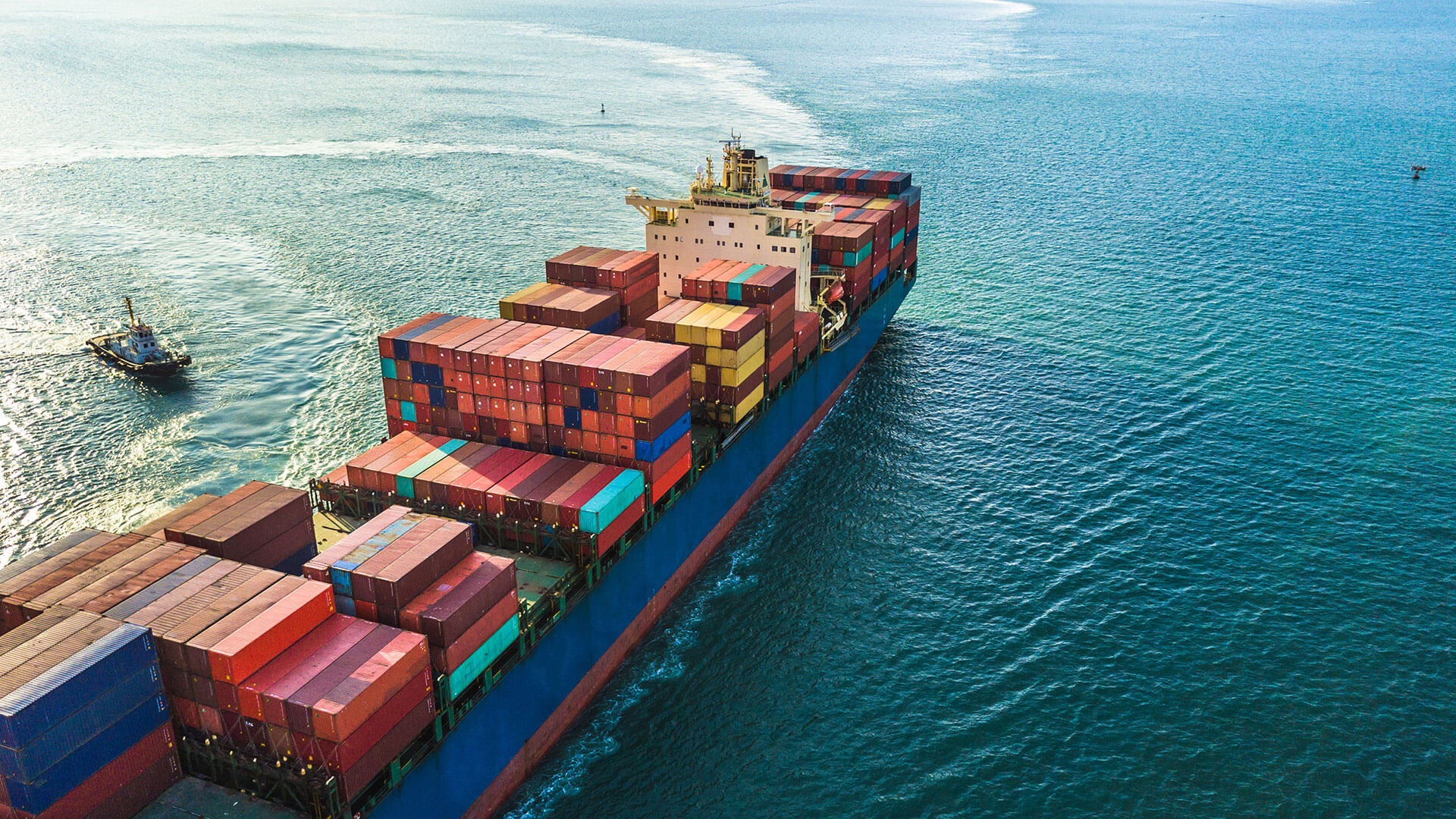
About 90% of the world’s trade is operated by ship. Safe and efficient navigation depends on precise hydrographic data — depths, shoals and hazards. This ensures maritime security, prevents accidents, and supports all marine and coastal activities. Nonetheless, a lot of coastal areas in the world are insufficiently charted. EOMAP provides most recent maps of any coastal area in the world.
Key applications in Hydrography and Navigation


Use cases

SDB Day
Satellite-Derived Bathymetry Technology and User Forum
Satellite-Derived Bathymetry (SDB) has experienced accelerating uptake in recent years, with users from industry, government and academia using this cost-effective and reliable method for […]
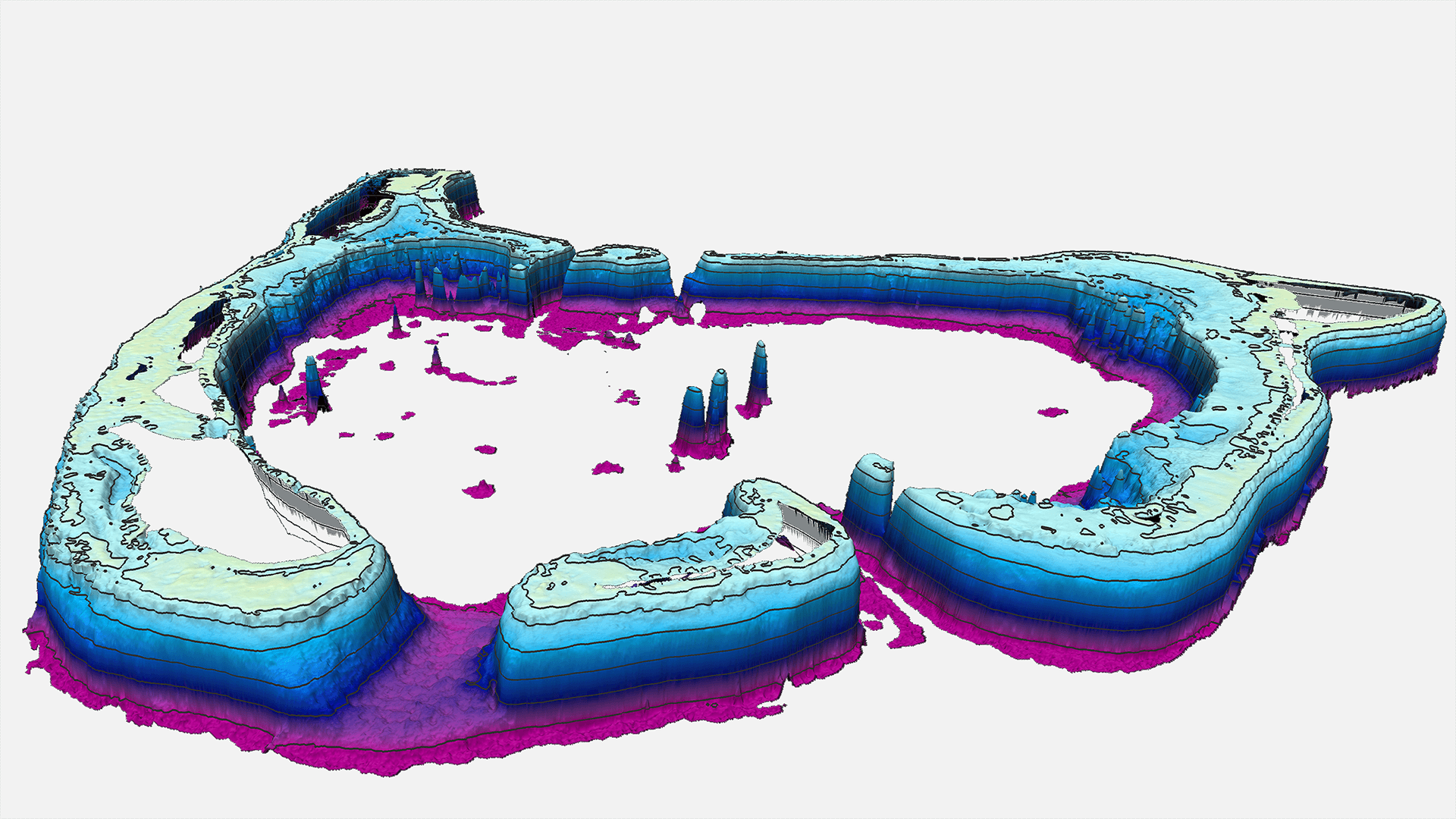
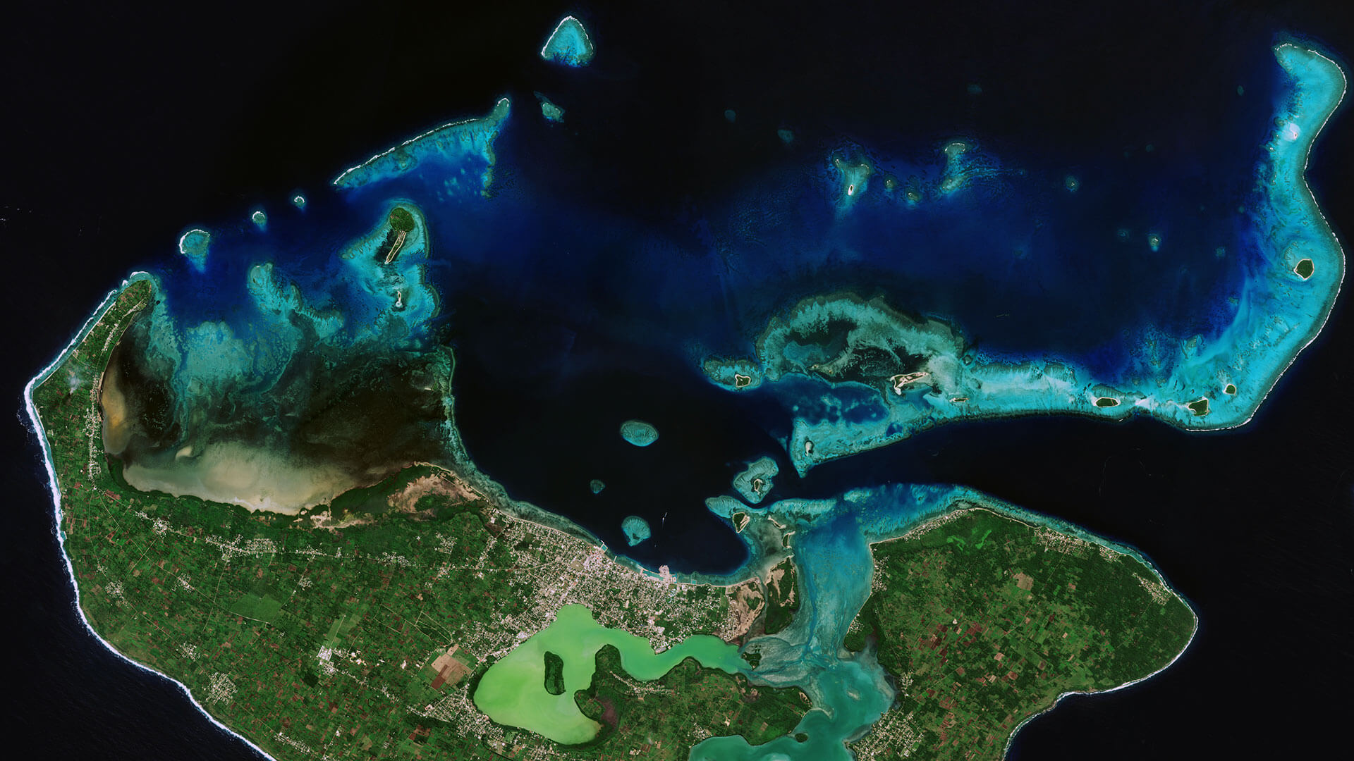
Satellite Derived Bathymetry for Tuvalu Atolls
Satellite surveying tool helps to improve ship navigation
EOMAP has been awarded a contract for providing Satellite-Derived Bathymetry (SDB) for seven atolls of Tuvalu. The project was awarded through a […]
MarSat – Satellite Services for the Maritime Industry
MarSat is a network of five private companies – EOMAP, Drift & Noise Polar Services GmbH, European Space Imaging GmbH ,

High-Resolution Seafloor Mapping for Environment Agency Abu Dhabi
The Environment Agency Abu Dhabi (EAD) is responsible for facilitating sustainable development, raising environmental awareness and addressing environmental issues. In 2013 EAD began a multi-year programme […]
EMODnet
Satellite-Derived Bathymetry for European Coastal Waters
EOMAP provides current high-resolution Satellite-Derived Bathymetry (SDB) for EMODnet Bathymetry, a consortium of 41 European hydrographic offices and oceanographic institutions, research centres and […]
Archipelago of Tonga
Very-High Resolution Satellite-Derived Bathymetry Survey
EOMAP Australia, together with project partner iXsurvey, have been contracted by Land Information New Zealand (LINZ) to map […]


Seagrass Mapping in Italy
Since 2024, EOMAP has been part of an international consortium dedicated to mapping seagrass meadows along Italy’s entire coastline. This large European habitat mapping project is conducted […]
“Satellite technology has become an indispensible contributor to improved ocean mapping. Satellite-Derived Bathymetry is efficient, cost-effective and accessible.“
Statement at COP 28 in Dubai
Dr. Mathias Jonas – General Secretary of the International Hydrographic Organisation (IHO)
Solutions for Hydrography & Navigation
With the services and web apps below, we support hydrographic offices, coastal engineers and navies. Please click on the relevant box to access contact persons and demo data for download.


