
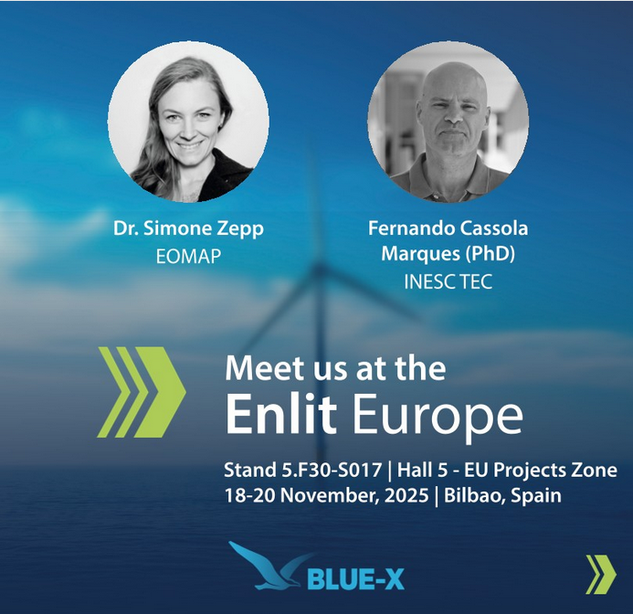
Meet us at the Enlit Europe in Bilbao between 18 and 20 November, 2025! This exhibition gathers professionals engaged in the energy transition across borders and sections. We invite you to experience BLUE-X, our contribution to strengthen offshore renewables.
Visit the EUSPA, EU Agency for the Space Programme, Stand: 5.F30-S017 to meet Fernando Cassola Marques from INESC TEC and project manager Simone Zepp. Both will be pleased to introduce you to the online platform BLUE-X, which is currently being tested by six use case partners across Europe, and also to the XR Immersive Tools.
On 18 November, Simone will present:
“BLUE-X – an innovative Earth observation-based solution for optimising blue renewable energy” at 2:00 to 3:30 pm in the EU Project Zone Hub, Theatre 3 (Hall 5).
Learn how this satellite-based toolbox …
💡provides decision support for “blue energy” deployment, such as the installation of offshore wind, wave, or tidal energy.
💡offers quick and easy access to key environmental information across all development stages, from site assessments to decommissioning.
💡thus enables planners and blue energy operators to speed up environmental assessment and reporting processes.
We hope to see you at Enlit Europe 2025, and work together towards our shared goal: providing clean, affordable, and reliable energy for everyone.
Let’s connect
You won’t make it to Bilbao?
- Access the BLUE-X platform and/or sign up to the BLUE-X Newsletter.
- Reach out to project manager Simone Zepp.
Latest EOMAP News

Reuters bases Mekong article on EOMAP data

So machen Tourismusregionen saubere Gewässer sichtbar

Blaualgen per Satellit: Jede Badestelle im Blick
The Development of EOMAP’s Water Quality Platform

Launching the world’s first comprehensive global water quality atlas with UNESCO
