
Discover how SnowPower – the new service component of eoapp HYPOS – delivers reliable, actionable seasonal snow insights for better planning and operations.
On 15th October at 3 pm CEST, we’ll show how satellite-derived snow data can power decisions across hydropower, water resources, risk management, and mountain operations. The webinar will include a 45 minute talk plus a Q&A session.
Your key takeaways
- How snow depth and snow water equivalent (SWE) support forecasting, planning, and operational decisions
- Why SnowPower’s snow data stands out in accuracy, coverage, and timeliness – compared to traditional field data
- How we retrieve snow metrics from Sentinel-1 satellite data
- How modeling choices influence results—and how we handle uncertainty
- How to access the data easily, from user-friendly tools to straightforward integrations.
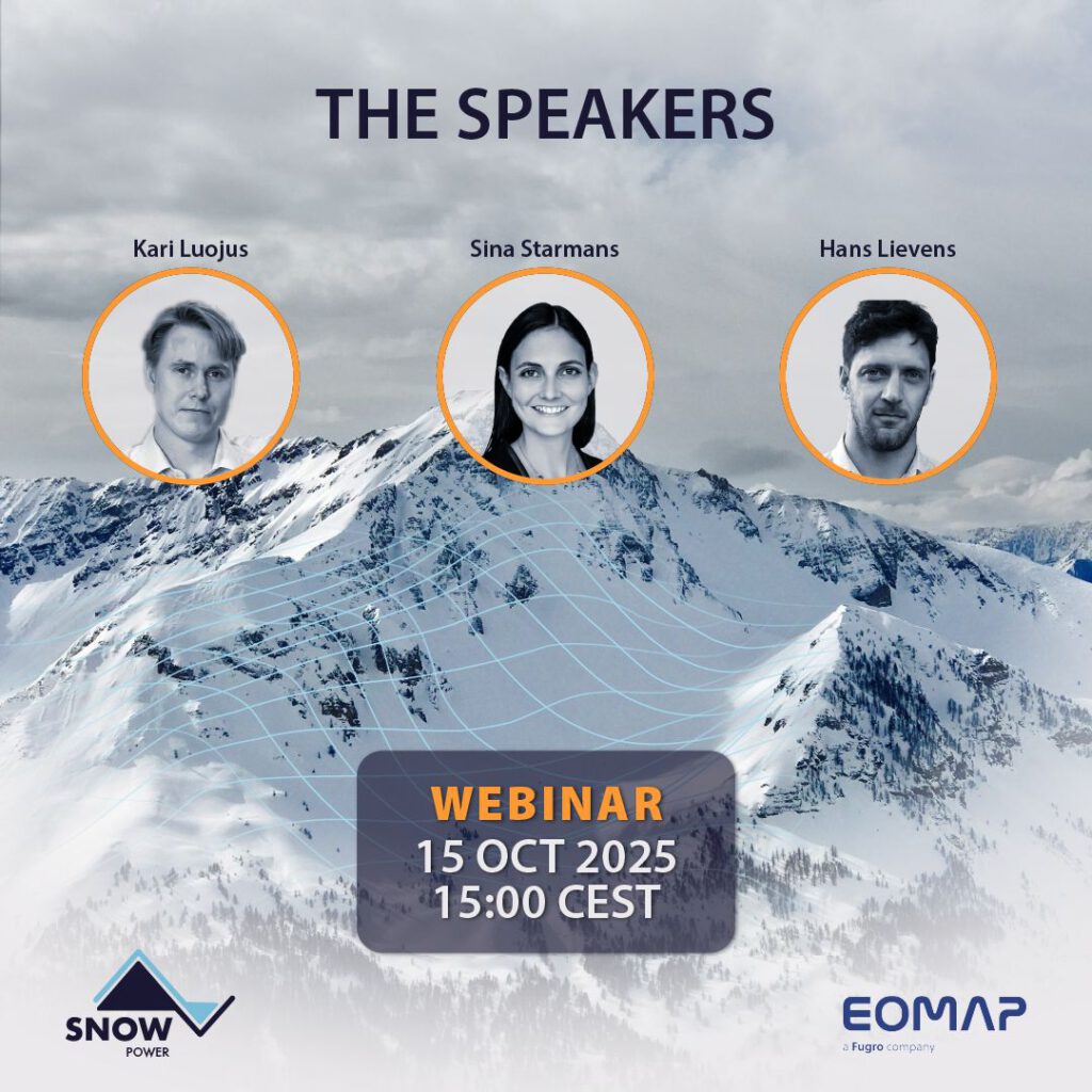
The Speakers
Sina Starmans: Remote sensing expert and Project Manager at EOMAP
Kari Luojus: Head of Satellite Services and Research group at the Finnish Meteorological Institute (FMI) and co-founder of Snowcap
Hans Lievens: Senior Researcher at Ghent University and co-founder of Snowcap
Let’s connect
E-mail to snowpower@eomap.com for the recordings, quotes and further information.
SnowPower has been developed under ESA’s Business Application and Space Solutions programme (BASS).
Latest EOMAP News

Reuters bases Mekong article on EOMAP data
The Development of EOMAP’s Water Quality Platform

UNESCO Water Quality Portal launched

Launching the world’s first comprehensive global water quality atlas with UNESCO

Oman Oil Spill: SDB Mapping of Critical Shallow Waters for Safe Salvage
