11 / 2020
Virtual SDB Day 2021 announced
EOMAP is glad to announce the 2021 edition of the SDB Day! SDB Day, [...]

08 / 2020
World Hydrography Day 2020 – SDB Day Webinar
Satellite Derived Bathymetry nowadays contributes to safety of navigation in manyfold coastal regions of Indonesia. [...]
09 / 2019
EOMAP wins funding for next-generation technology for Satellite-Derived Bathymetry
EOMAP has been awarded by the German Aerospace Center (DLR) to further develop its unique [...]

07 / 2019
MARSAT- Increasing safety and efficiency in maritime operations using satellite information
A German consortium has devised solutions to challenges facing the maritime industry: A new service [...]

04 / 2019
What’s behind the ground-breaking 3D habitat map of the Great Barrier Reef?
International aquatic remote sensing company EOMAP will showcase its unique contribution to the world-first 3D [...]

03 / 2019
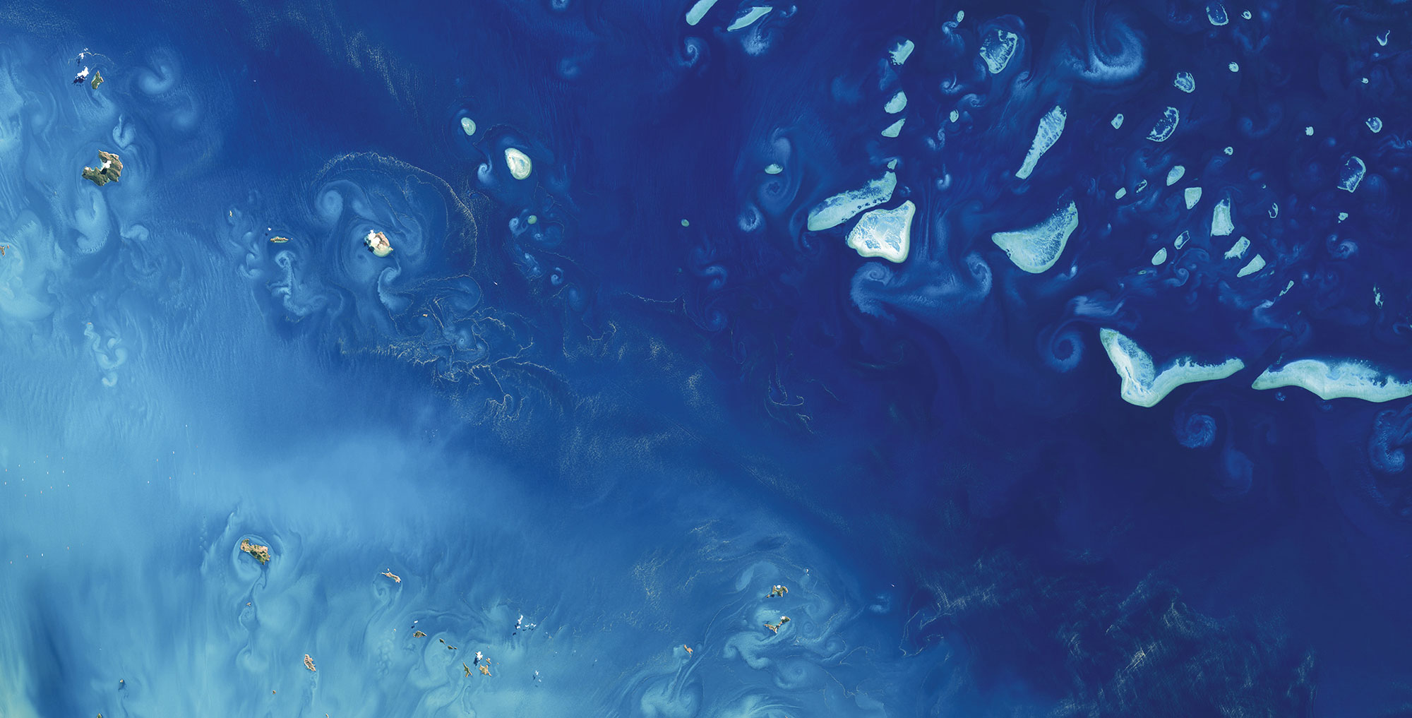
Dredging in the Maldives – How satellites can help
The Sentinel Benefits Study (SeBS) conducted by the European Association of Remote Sensing Companies (EARSC) has recently [...]

11 / 2018
How satellite data support maritime boundary disputes
Coastline delineation and coastline dynamics When it comes to maritime boundary disputes between two States [...]

10 / 2018
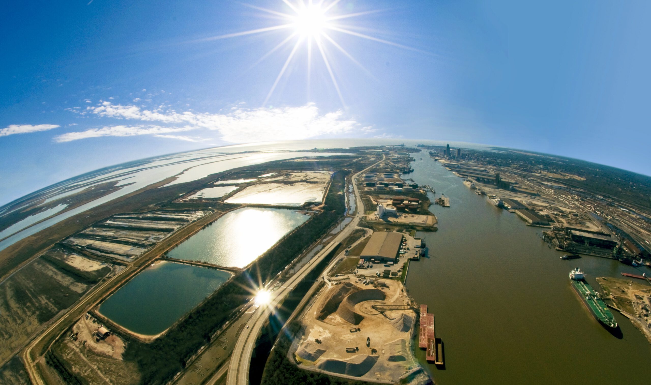
Optimising hydrographic surveys with Satellite-Derived Bathymetry
Seefeld, October 2018, EOMAP, together with iXblue, have mapped Satellite-Derived Bathymetry (SDB) for the [...]
09 / 2018
Satellite Data Services for the Maritime Industry: Potential Value unlocked
Hamburg, September 2018 Following the success of last year’s workshop, MarSat, a corporate network of [...]

07 / 2018
Global Network for Satellite-Derived Bathymetry
Munich, 4 July 2018 - EOMAP has initiated the first international Satellite-Derived Bathymetry Day (SDB [...]

0
international awards
EOMAP – A FUGRO COMPANY
EOMAP OFFICES
LINKS
Copyright 2026 EOMAP GmbH & Co. KG • Imprint • Privacy Policy • Cookie settings