
05 / 2026
Pioneering seagrass mapping at the Italian coastline in 2006
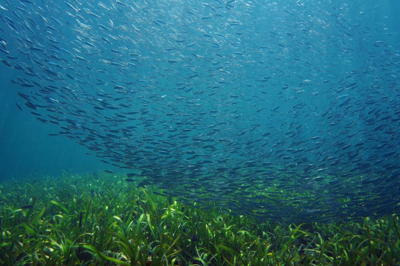
Milestone #3: Back in 2006, EOMAP secured the first commercial contract for satellite-based seagrass mapping [...]

11 / 2025
Projektstart SEAGUARD
Seegraswiesen spielen eine zentrale Rolle in der Nährstoffregulierung, Sedimentstabilisierung und dienen dabei als wichtiger [...]
10 / 2025
SDB Update #9 – Validation and Accuracy
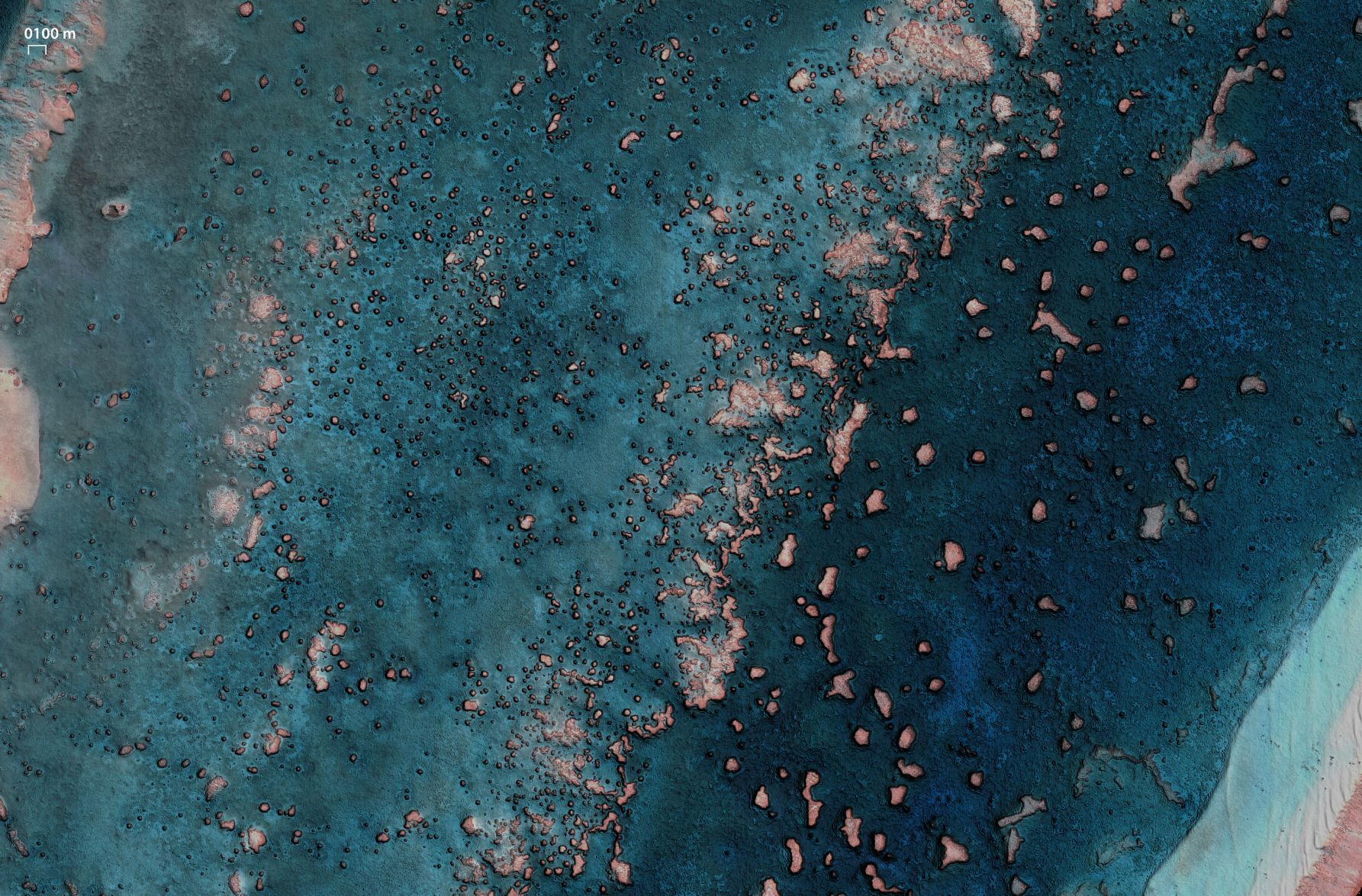
How accurate is your SDB data? – This is a question we are often [...]
08 / 2025
SDB Update #7 – Topobathy of the Red Sea
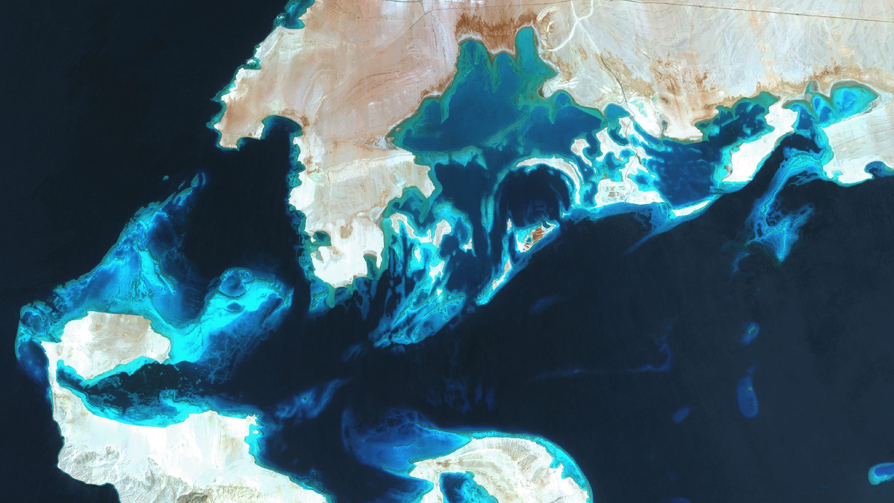
SDB Update No. 7 takes us to one of the northernmost tropical waters: The Red [...]
07 / 2025
SDB Update #6 – Satellite-based Topobathy Models
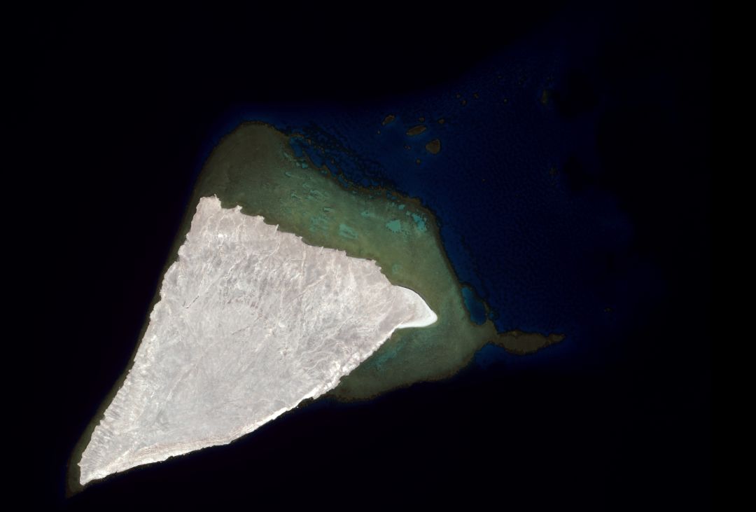
In this SDB Update No. 6, we are focusing on topobathy models - essential tools [...]
07 / 2025
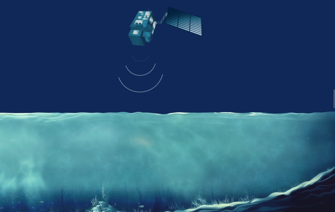
SDB Update #5 – Storymap on Satellite-Derived Bathymetry
Let’s take you on an animated journey to Satellite-Derived Bathymetry [...]
06 / 2025
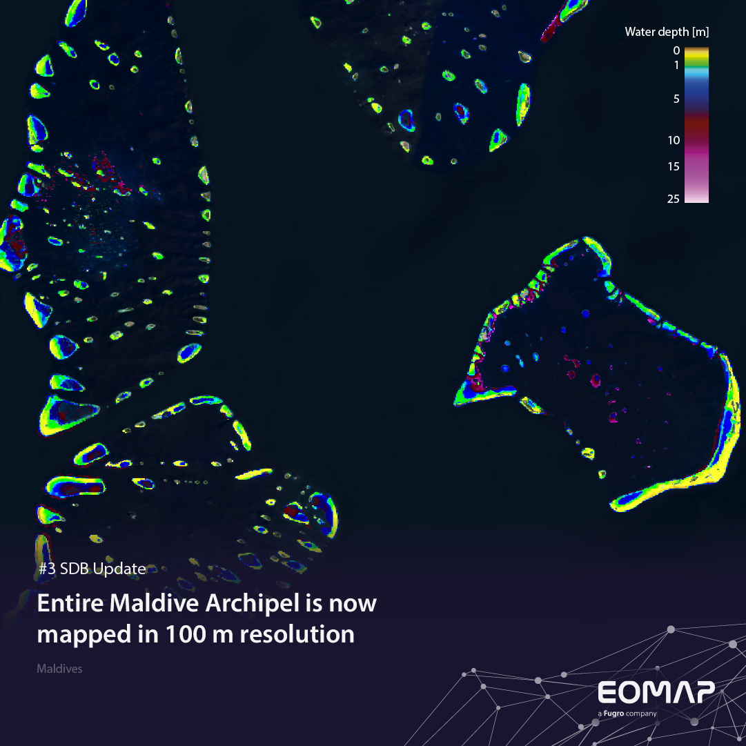
SDB Update #3 – The Maldives’ shallow waters mapped in 100 m
SDB Update No. 3 takes us to the lowest-lying country*) in the world: The [...]
05 / 2025
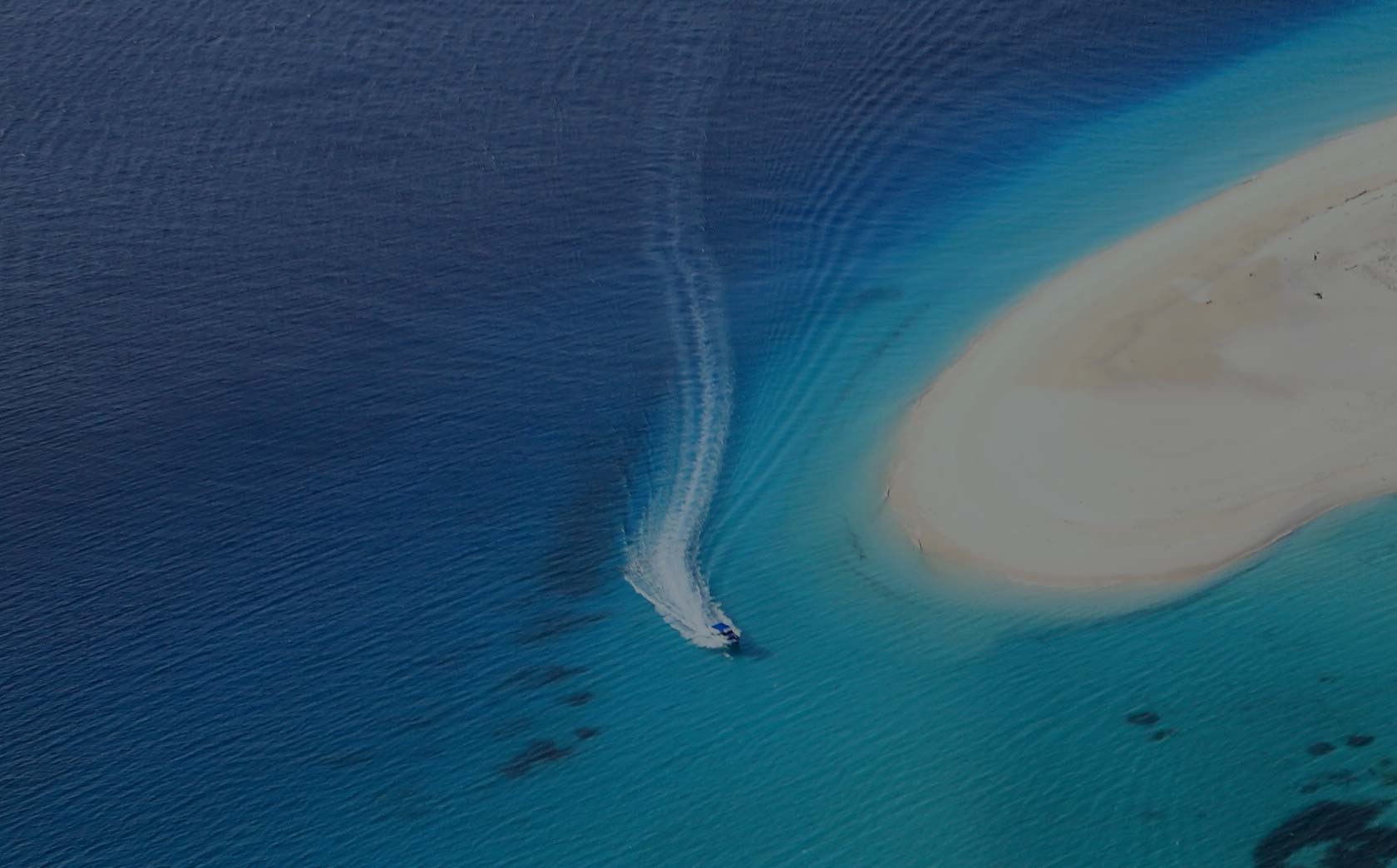
SDB update #1 on Australia: All shallow waters mapped
This SDB Update No. 1 on Australia is the start into EOMAP's new post [...]
12 / 2024
COASTS – Projekt für widerstandsfähigere Küsten-Ökosysteme gestartet
Seefeld, Deutschland, Dezember 2024 – Mehr Extremwetterereignisse sowie steigende Meeresspiegel und Temperaturen drängen uns [...]
12 / 2024
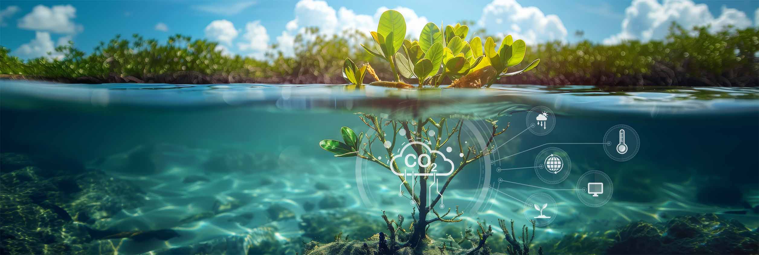
COASTS project launched to enhance coastal resilience and blue carbon ecosystems
Press release Seefeld, Germany, December 2024 - The estimates by the Intergovernmental Panel for [...]

0
international awards
EOMAP – A FUGRO COMPANY
EOMAP OFFICES
LINKS
Copyright 2026 EOMAP GmbH & Co. KG • Imprint • Privacy Policy • Cookie settings
