Monitoring Sedimentation in the Mekong Delta
The international Catch-Mekong project aims to provide research and technology for the sustainable management of natural resources in the Mekong basin with a special focus on the delta region. Main topics include saltwater intrusion, land use and river and coastal morphology.
The Catch-Mekong project’s main goal is to integrate Earth observation and in-situ monitoring with water quality models and data for the Mekong Delta. This will provide a tool to support decision-making on salinification, coastal instabilities and specific environmental challenges.
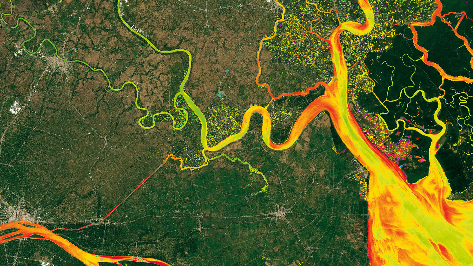
EOMAP processed all available satellite imagery from the Landsat archive for the whole of the middle and downstream section of the Mekong river to derive time-series information on water quality parameters such as turbidity. This information is used by scientists from the German Research Centre for Geosciences (GFZ) and is included in the modelling of sediment dynamics for the Mekong basin.
Related Use Cases
Water monitoring along the Zambezi
Advice4COASTS
Kelp monitoring in Los Angeles ports
Snowpower
REMAP – a new workflow for drone mapping
Impact factors of oxygen loss on Elbe River
COASTS – Coastal resilience and blue carbon
4S project – SDB mapping worldwide
Water Quality for Lactec Brazil
HYPOS
