
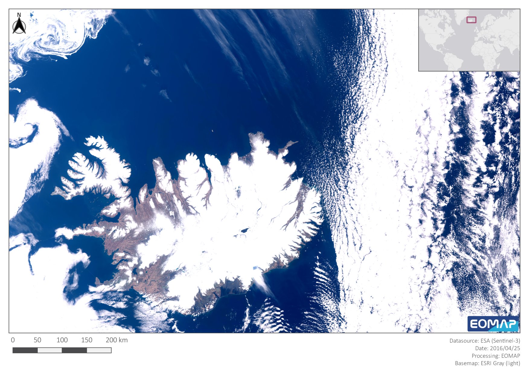
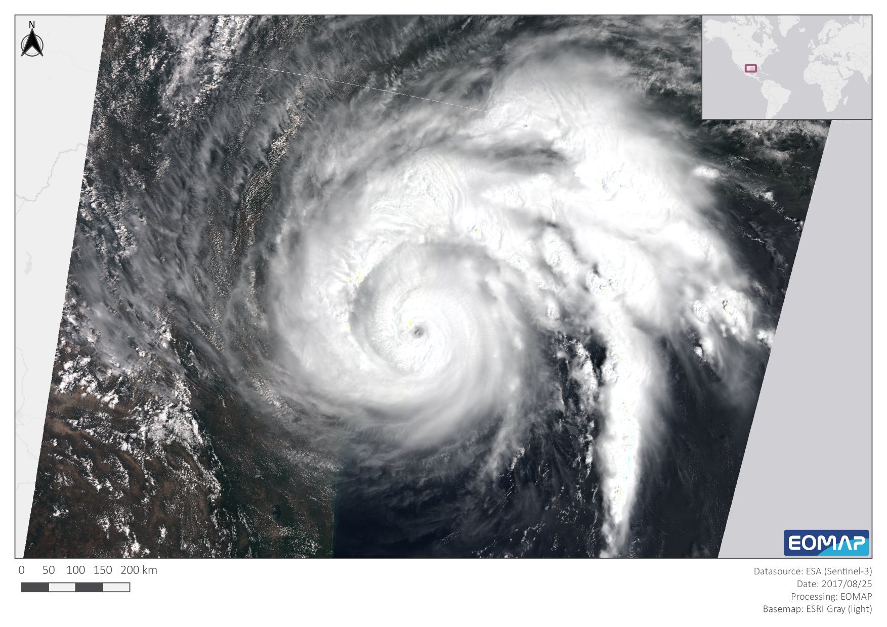
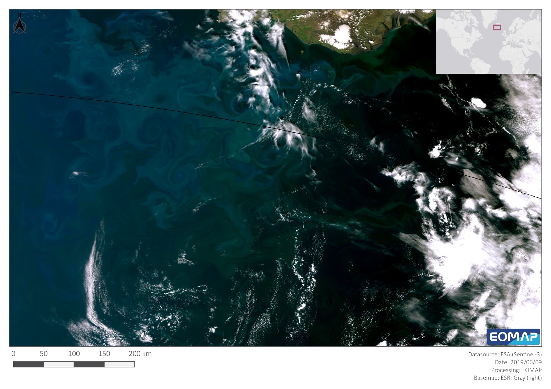
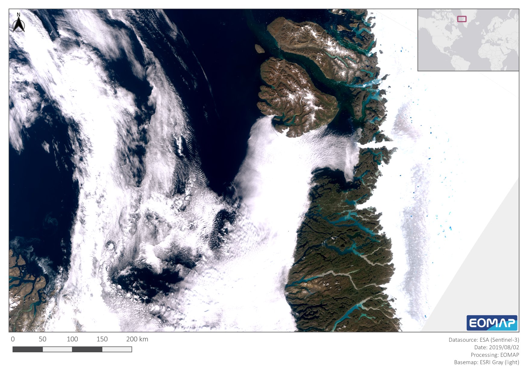
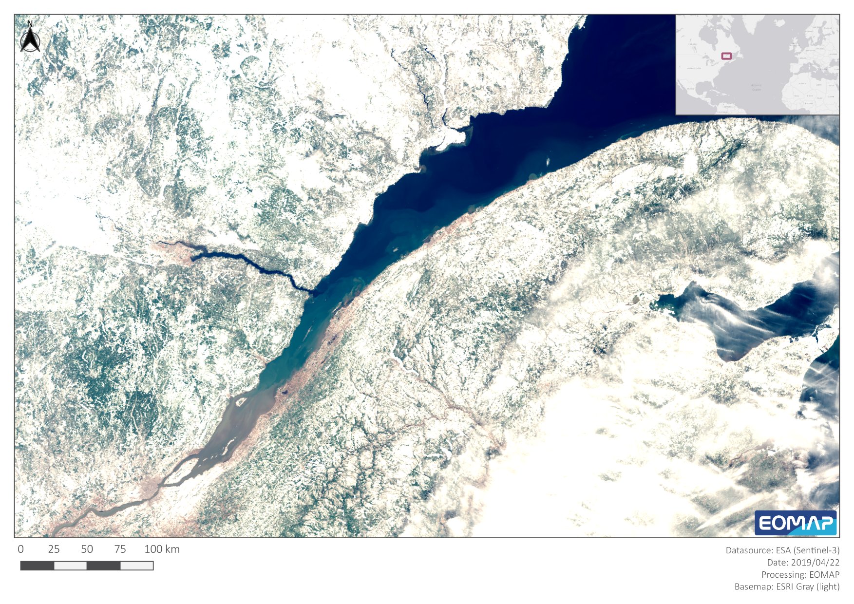
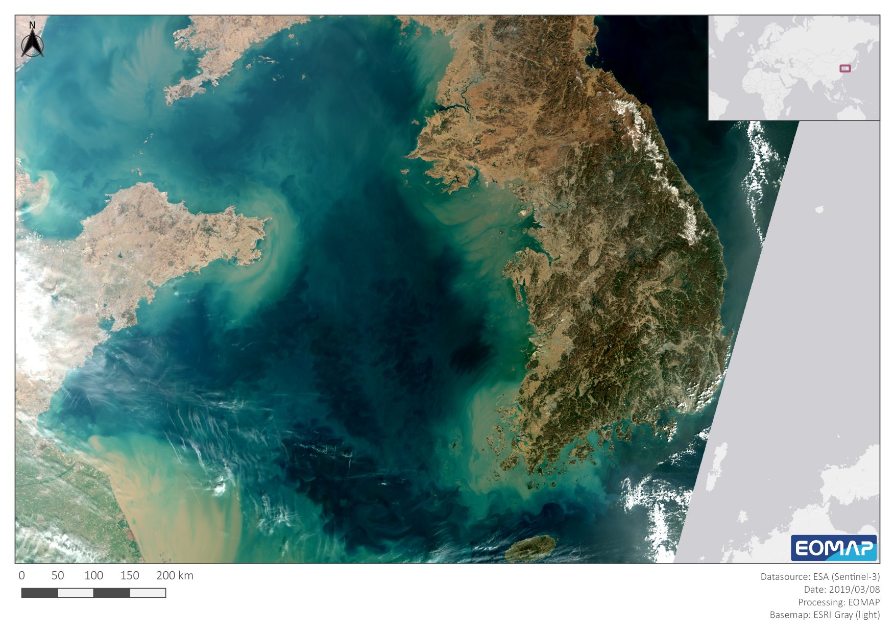
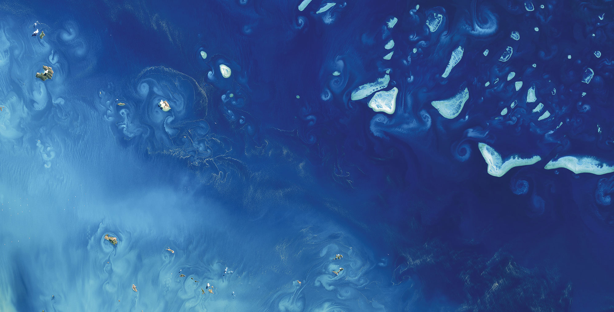
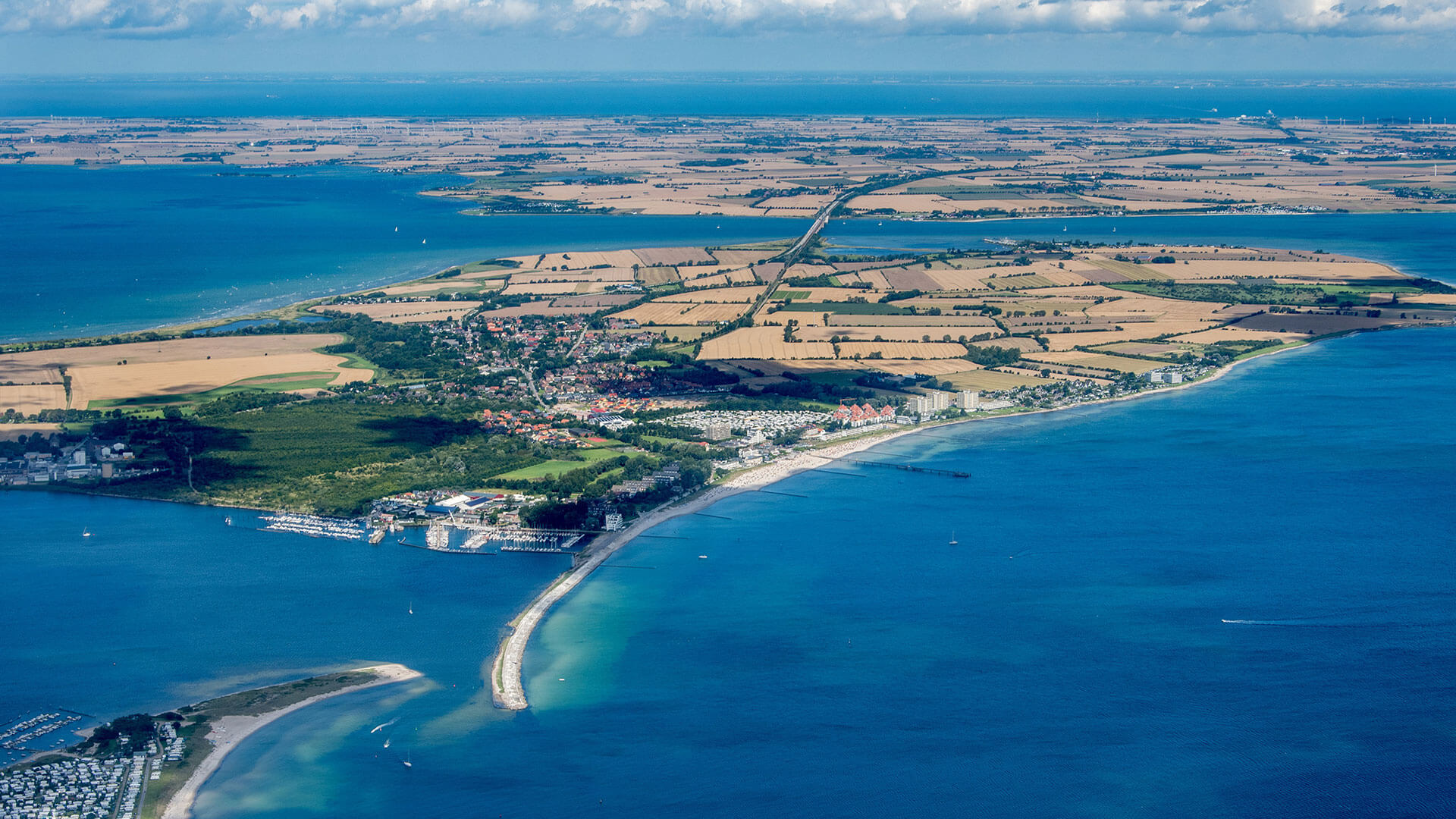
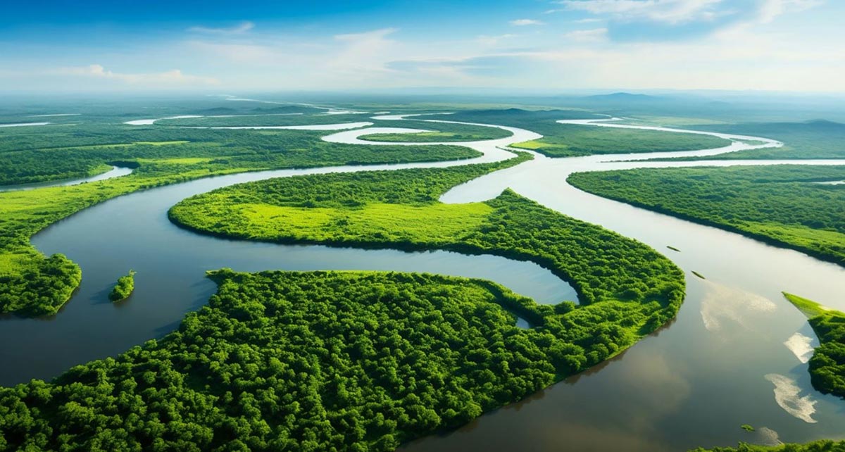
Sentinel-3A was launched on February 16th 2016 and delivered its first image only two weeks later, on February 29th. With 2020 being a leapyear as well, we want to take the chance to celebrate its fourth anniversary with some of our favourite images from all over the globe. Have a look!

Latest EOMAP News

Reuters bases Mekong article on EOMAP data
The Development of EOMAP’s Water Quality Platform

UNESCO Water Quality Portal launched

Launching the world’s first comprehensive global water quality atlas with UNESCO

Oman Oil Spill: SDB Mapping of Critical Shallow Waters for Safe Salvage

eoapp DIVE unterstützt die Tauchplanung
Related Posts
09 / 2026
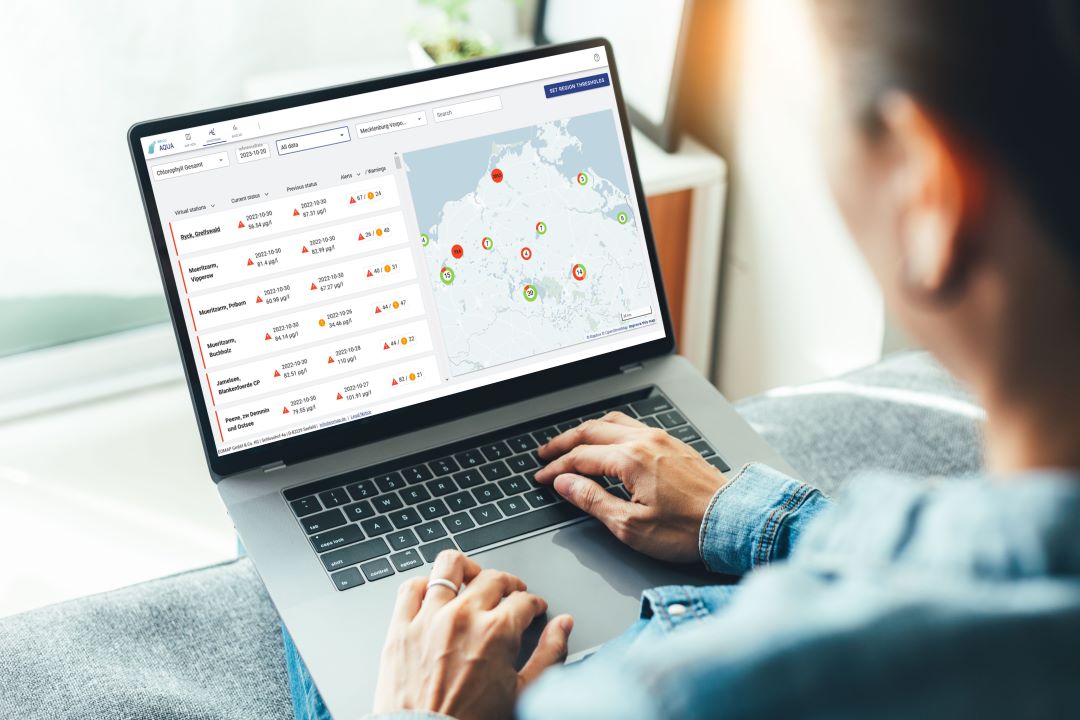
UNESCO Water Quality Portal launched
03 / 2026
New BD & Sales Manager for the Americas
12 / 2025
A short recap of 2025
05 / 2025
Planet contract: Supporting Germany’s water monitoring
03 / 2025
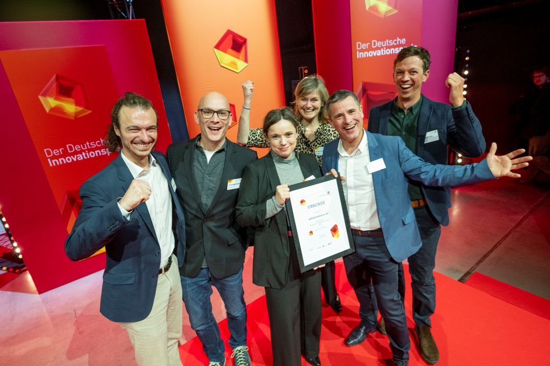
German Innovation Prize 2025 – EOMAP listed among top 3
03 / 2025
Deutscher Innovationspreis 2025 – EOMAP unter den top 3

02 / 2025
Fugro acquires EOMAP
02 / 2025
Fugro erwirbt EOMAP
12 / 2024
A short recap of 2024
12 / 2024

