MarSat is a network of five private companies – EOMAP, Drift & Noise Polar Services GmbH, European Space Imaging GmbH , SevenCs GmbH and TRENZ AG – and a research institute, the Institute of Shipping Economics and Logistics (ISL). It is financed and coordinated by DLR, the German Aerospace Center, and funded by BMWi, the German Federal Ministry for Economic Affairs and Energy.
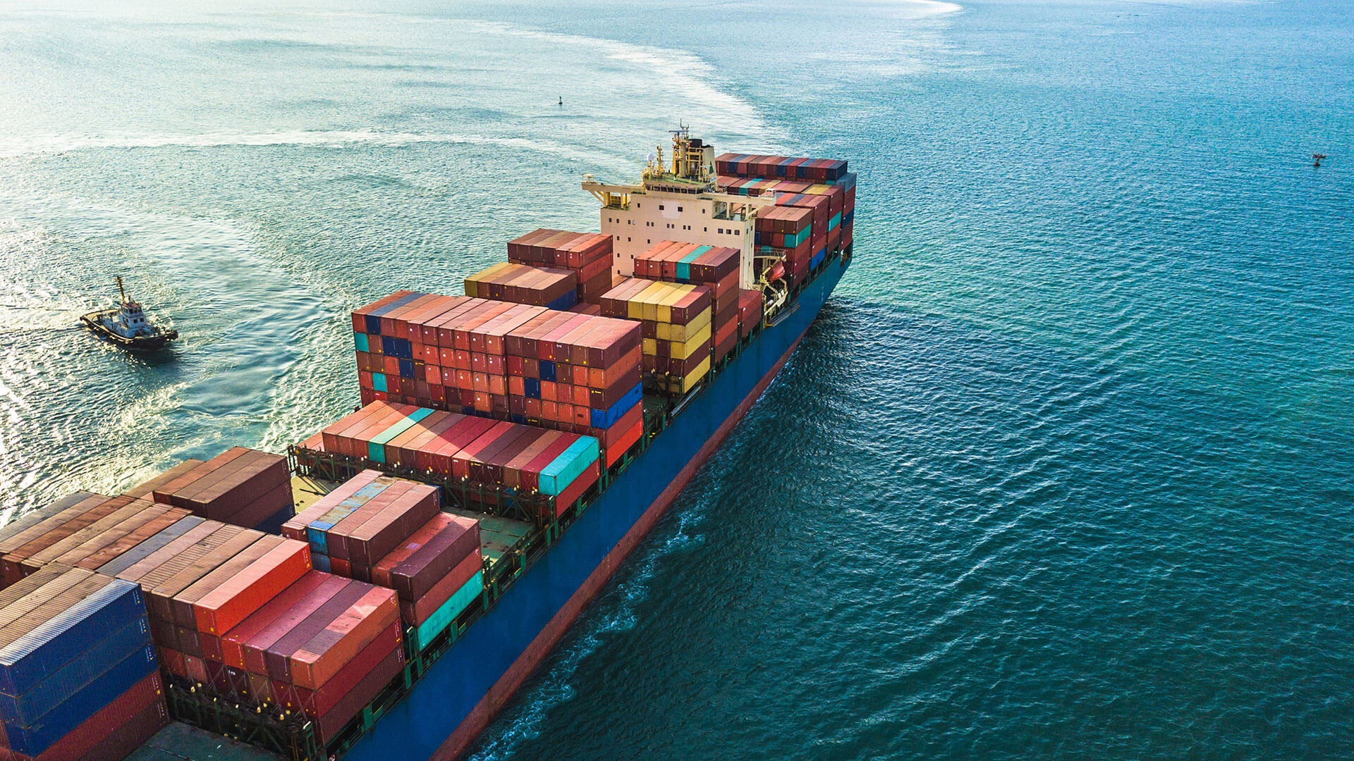
The goal of MarSat is to allow the maritime industry to take advantage of the most up-to-date satellite information in their day-to-day work. This requires an efficient IT infrastructure to share, integrate and implement satellite-derived data from various satellite sources quickly and efficiently. Services such as ice detection and drift, obstruction and bathymetry mapping will be integrated into maritime information systems so that shipping routes can be optimised, up-to date information made available for rescue or emergency events, and base data provided for environmental and coastal applications.
EOMAP provided their Satellite-Derived Bathymetry (SDB) data as an electronic navigational chart (ENC) layer. For more details on MarSat, visit the MarSat project homepage.
Related Use Cases
SmartCoast – Mangrove mapping in Australia
Water monitoring along the Zambezi
Advice4COASTS
Snowpower
REMAP – a new workflow for drone mapping
Impact factors of oxygen loss on Elbe River
COASTS – Coastal resilience and blue carbon
Blue carbon – Mangrove mapping in Madagascar
Seagrass Mapping in Italy
4S project – SDB mapping worldwide
