
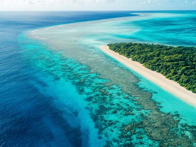
We are pleased to announce the Kick-Off of 4S, an EU co-funded project to bring new innovations to Satellite-Derived Bathymetry and seafloor mapping. Further information will follow soon!
4S is formed by QPS (NL), Fugro DE/NL), Smith Warner (JM), CNR ISMAR (IT), HCMR (GR), and Instituto Hidrográfico (PT), Länsstyrelsen Västerbotten (SE) and led by EOMAP (DE).

Latest EOMAP News

Reuters bases Mekong article on EOMAP data
The Development of EOMAP’s Water Quality Platform

UNESCO Water Quality Portal launched

Launching the world’s first comprehensive global water quality atlas with UNESCO

Oman Oil Spill: SDB Mapping of Critical Shallow Waters for Safe Salvage

eoapp DIVE unterstützt die Tauchplanung
Related Posts
09 / 2026
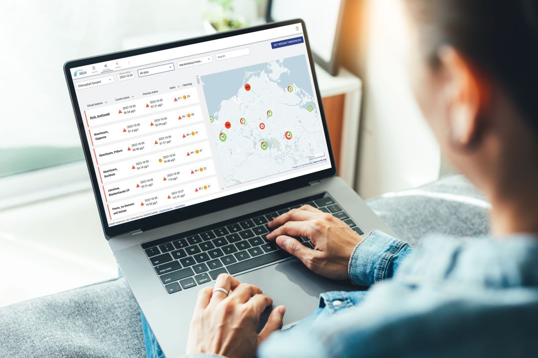
UNESCO Water Quality Portal launched
03 / 2026
New BD & Sales Manager for the Americas
12 / 2025
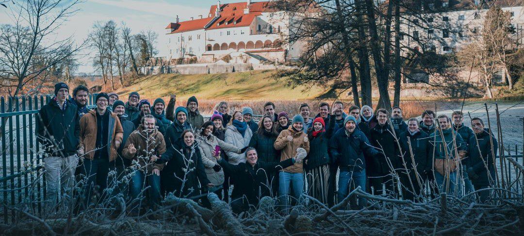
A short recap of 2025
05 / 2025
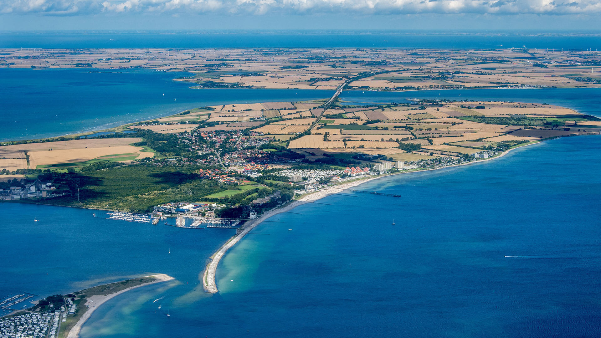
Planet contract: Supporting Germany’s water monitoring
03 / 2025
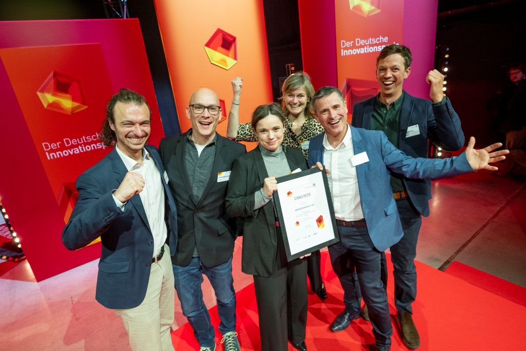
German Innovation Prize 2025 – EOMAP listed among top 3
03 / 2025
Deutscher Innovationspreis 2025 – EOMAP unter den top 3

02 / 2025
Fugro acquires EOMAP
02 / 2025
Fugro erwirbt EOMAP
12 / 2024
A short recap of 2024
12 / 2024

