
Hyderabad, India
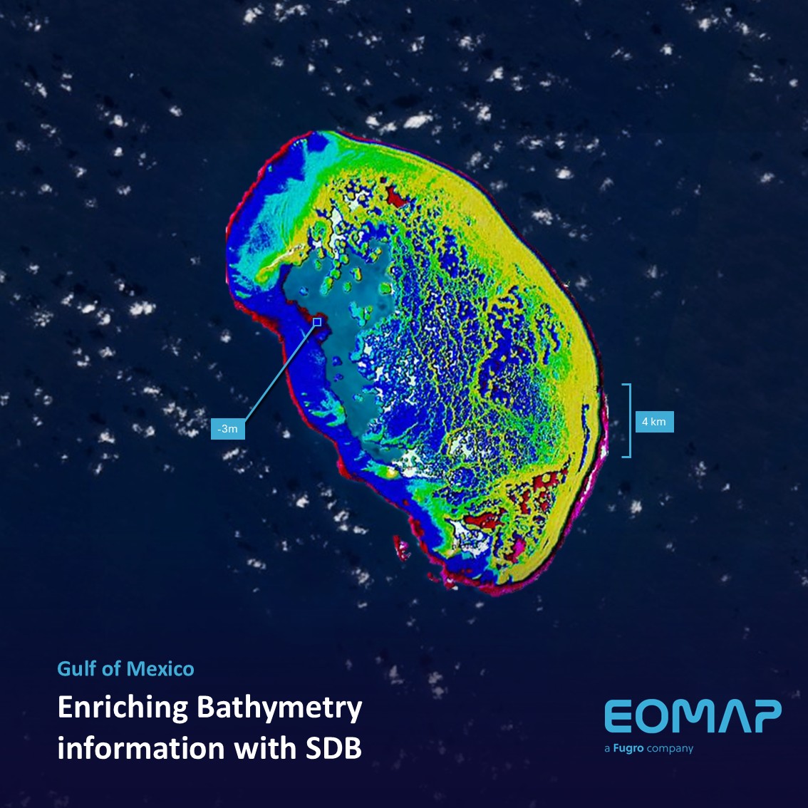
This year EOMAP has topped the category “Bathymetry” at the Geospatial World Innovation Awards 2017. The ceremony took place in Hyderabad, India. Together with their partners SevenCs and ChartWorld, EOMAP received the award for the derivation of electronical nautical charts (ENCs) from optical satellite data and their easy pratical implementation.
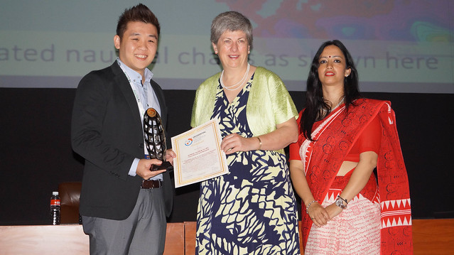
Alvin Lin from SevenCs gratefully accepted the award at the Geospatial World Forum 2017 Hyderabad. The full list of awarded companies and institutions is accessible here.
Read more on the Geospatial World Forum: https://geospatialworldforum.org/

Latest EOMAP News

Reuters bases Mekong article on EOMAP data
The Development of EOMAP’s Water Quality Platform

UNESCO Water Quality Portal launched

Launching the world’s first comprehensive global water quality atlas with UNESCO

Oman Oil Spill: SDB Mapping of Critical Shallow Waters for Safe Salvage

eoapp DIVE unterstützt die Tauchplanung
Related Posts
09 / 2026
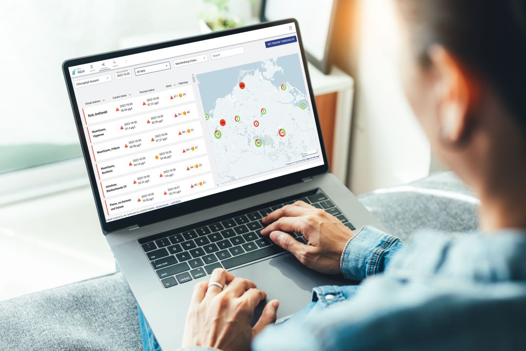
UNESCO Water Quality Portal launched
08 / 2026
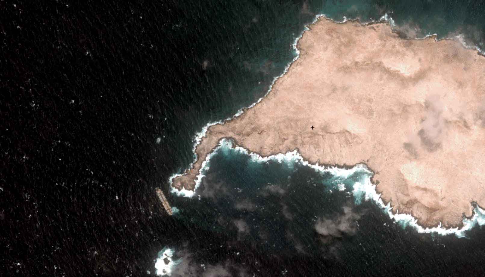
Oman Oil Spill: SDB Mapping of Critical Shallow Waters for Safe Salvage

08 / 2026
eoapp DIVE unterstützt die Tauchplanung

07 / 2026
UKHO’s highest-ranked Satellite-Derived Bathymetry provider

06 / 2026
Mapping the ‘unmappable’ Great Barrier Reef

04 / 2026
Ningaloo Reef 2009: Hyperspectral Marine Habitat Mapping
04 / 2026
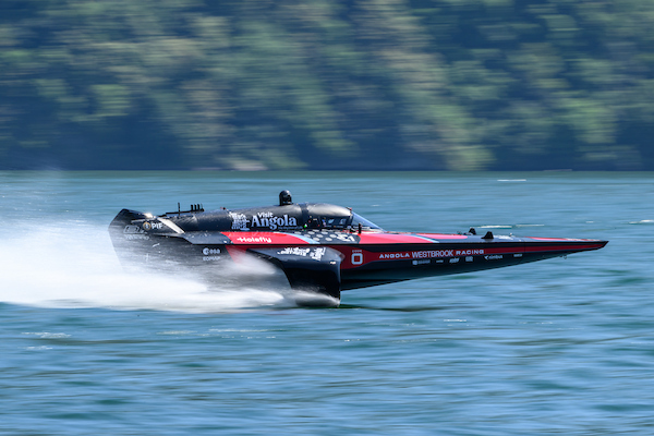
Environmental monitoring for sporting events

04 / 2026
20 Years EOMAP: Advancing Earth Observation

02 / 2026
WATCOR‑X Bathymetry Software for Navies and Hydrographic Offices
01 / 2026

