
08 / 2026
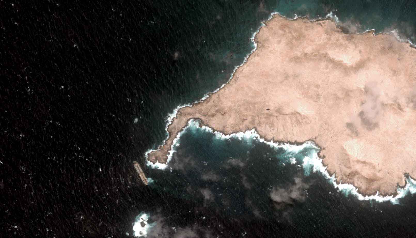
Oman Oil Spill: SDB Mapping of Critical Shallow Waters for Safe Salvage
Oil spill spanning hundreds of km² at the coast of Oman: Satellite-Derived Bathymetry (SDB) [...]

07 / 2026
UKHO’s highest-ranked Satellite-Derived Bathymetry provider
Milestone #6 worth celebrating: The year we became UKHO’s highest-ranked Satellite-Derived Bathymetry (SDB) provider. First [...]

06 / 2026
Mapping the ‘unmappable’ Great Barrier Reef
Milestone #5 in EOMAP's 20 years history: Mapping what was once considered 'unmappable' - [...]

04 / 2026
Ningaloo Reef 2009: Hyperspectral Marine Habitat Mapping
Milestone #2 in EOMAP's 20 years history: Mapping Ningaloo Reef in 2009 marked a [...]

04 / 2026
20 Years EOMAP: Advancing Earth Observation
Milestone #1: 20 years ago, EOMAP was founded with a bold ambition: to transform the [...]

02 / 2026
WATCOR‑X Bathymetry Software for Navies and Hydrographic Offices
Bathymetric data is key for navies and hydrographic offices. They must navigate rising operational [...]
01 / 2026
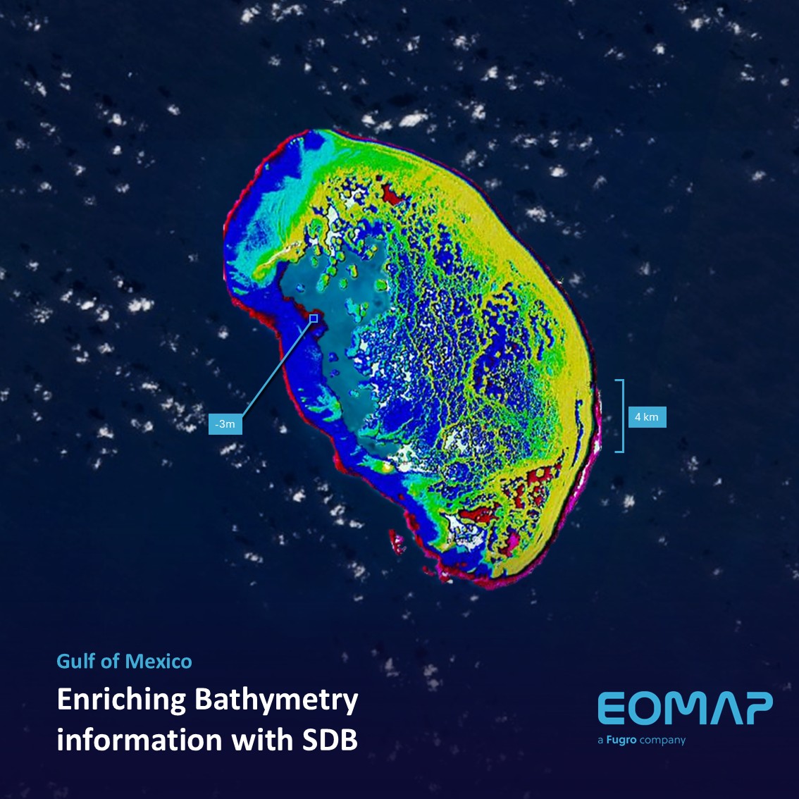
Bathymetry in the Gulf of Mexico
The Scorpion Reef, in Spanish "Arrecife Alacranes", is the largest atoll in the southern [...]
10 / 2025
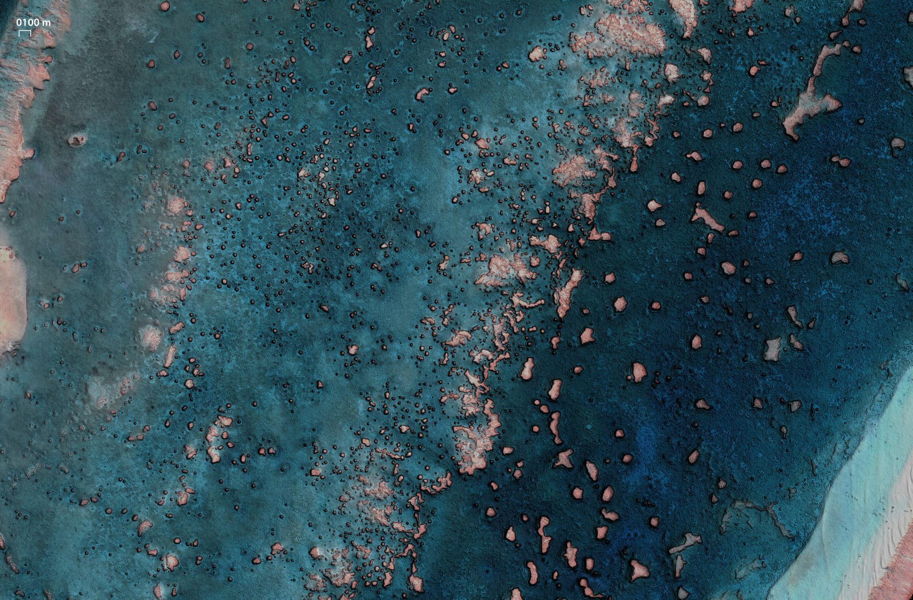
SDB Update #9 – Validation and Accuracy
How accurate is your SDB data? – This is a question we are often [...]
10 / 2025
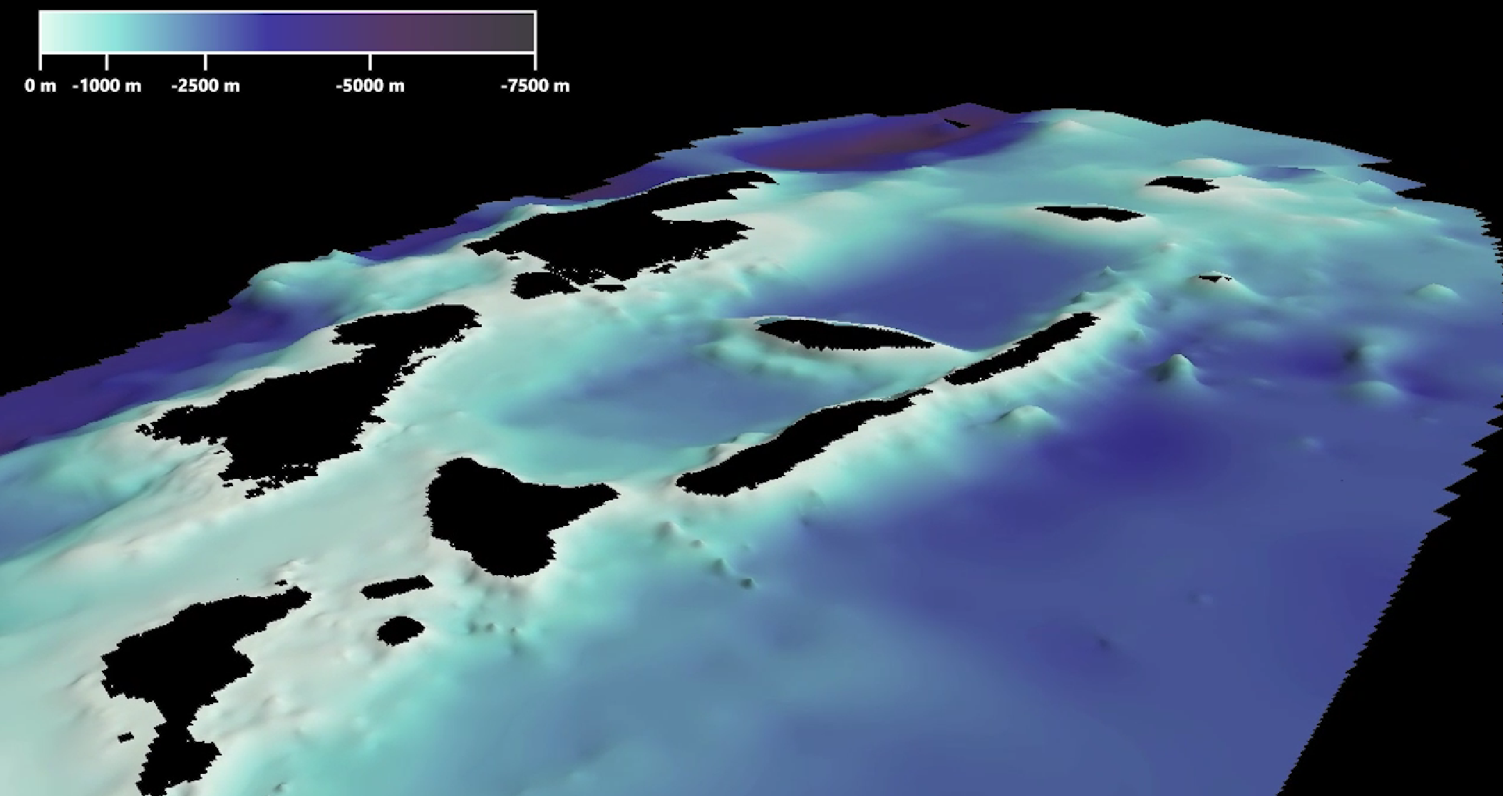
SDB Update #8 – Multisource Bathymetry
Multisource Bathymetry — From Space to Soundings. SDB Update No.8 introduces this fast, interdisciplinary, [...]
08 / 2025
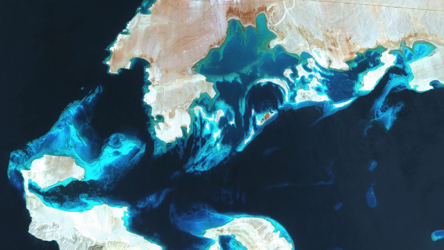
SDB Update #7 – Topobathy of the Red Sea
SDB Update No. 7 takes us to one of the northernmost tropical waters: The Red [...]

0
international awards
EOMAP – A FUGRO COMPANY
EOMAP OFFICES
LINKS
Copyright 2026 EOMAP GmbH & Co. KG • Imprint • Privacy Policy • Cookie settings
