
Milestone #5 in EOMAP’s 20 years history: Mapping what was once considered ‘unmappable’ – the Great Barrier Reef.
These world-first digital maps of thousands of coral reefs were a key step towards identifying, managing and essentially preserving this global marine icon.
Bathymetry maps covering 350.000 km²
Back in 2013, we were part of a true breakthrough. In collaboration with leading German and Australian scientists, we delivered high-resolution, satellite-derived bathymetry maps covering the entire Great Barrier Reef.
For the first time, this ecosystem covering ~350,000 km² and thousands of individual reefs, was mapped consistently from space.
The challenge: Mapping shallow and remote waters
In general, traditional approaches using vessels or airborne surveys were (and still are) limited by cost, logistics, and accessibility. Especially in shallow or remote reef areas, these methods can be challenging.
For decades, nearly half of the Great Barrier Reef’s shallow-water reef areas had remained unmapped due to remoteness and navigational challenges.
Large-scale reef mapping from space
However, EOMAP helped change this. Without any vessel or aircraft support, this world-first dataset with 30-m-resolution provided a complete 3D picture of the planet’s largest coral reef ecosystem. It enabled more effective environmental management. This included water quality modelling to predicting climate change impacts, such as sea level rise and cyclone activity.
Beyond science, the project bridged a crucial gap: It offered both detailed local insights and a comprehensive system-wide view to governments, researchers, and industry alike. Back then, partner Stuart Phinn from the University of Queensland stated: “This information is regarded as essential for any government or company involved with managing the reef environment.”
Apart from the University of Queensland, EOMAP partnered with James Cook University and the Australia Cooperative Research Centre for Spatial Information in this project.
Until today, we continue providing non-invasive, cost-effective technology to protect irreplaceable ecosystems.
Learn More
Read more about this and other reef mapping project here:
- Launch of the Great Barrier Reef Bathymetry in 2013
- Mapping Ningaloo Reef
- See more milestones of EOMAP’s 20 year journey.
Contact
Reach out to Emily Twiggs in Australia or us at the HQ for any mapping solution you might need.

Latest EOMAP News

Reuters bases Mekong article on EOMAP data
The Development of EOMAP’s Water Quality Platform

UNESCO Water Quality Portal launched

Launching the world’s first comprehensive global water quality atlas with UNESCO

Oman Oil Spill: SDB Mapping of Critical Shallow Waters for Safe Salvage

eoapp DIVE unterstützt die Tauchplanung
Related Posts
08 / 2026
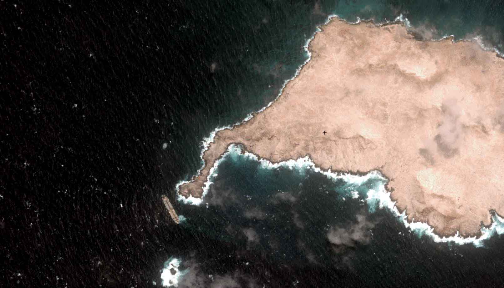
Oman Oil Spill: SDB Mapping of Critical Shallow Waters for Safe Salvage

08 / 2026
eoapp DIVE unterstützt die Tauchplanung

07 / 2026
UKHO’s highest-ranked Satellite-Derived Bathymetry provider
05 / 2026
Pioneering seagrass mapping at the Italian coastline in 2006

04 / 2026
Ningaloo Reef 2009: Hyperspectral Marine Habitat Mapping

04 / 2026
20 Years EOMAP: Advancing Earth Observation
03 / 2026
New BD & Sales Manager for the Americas
02 / 2026
WATCOR‑X Bathymetry Software for Navies and Hydrographic Offices
01 / 2026
Bathymetry in the Gulf of Mexico
12 / 2025

