
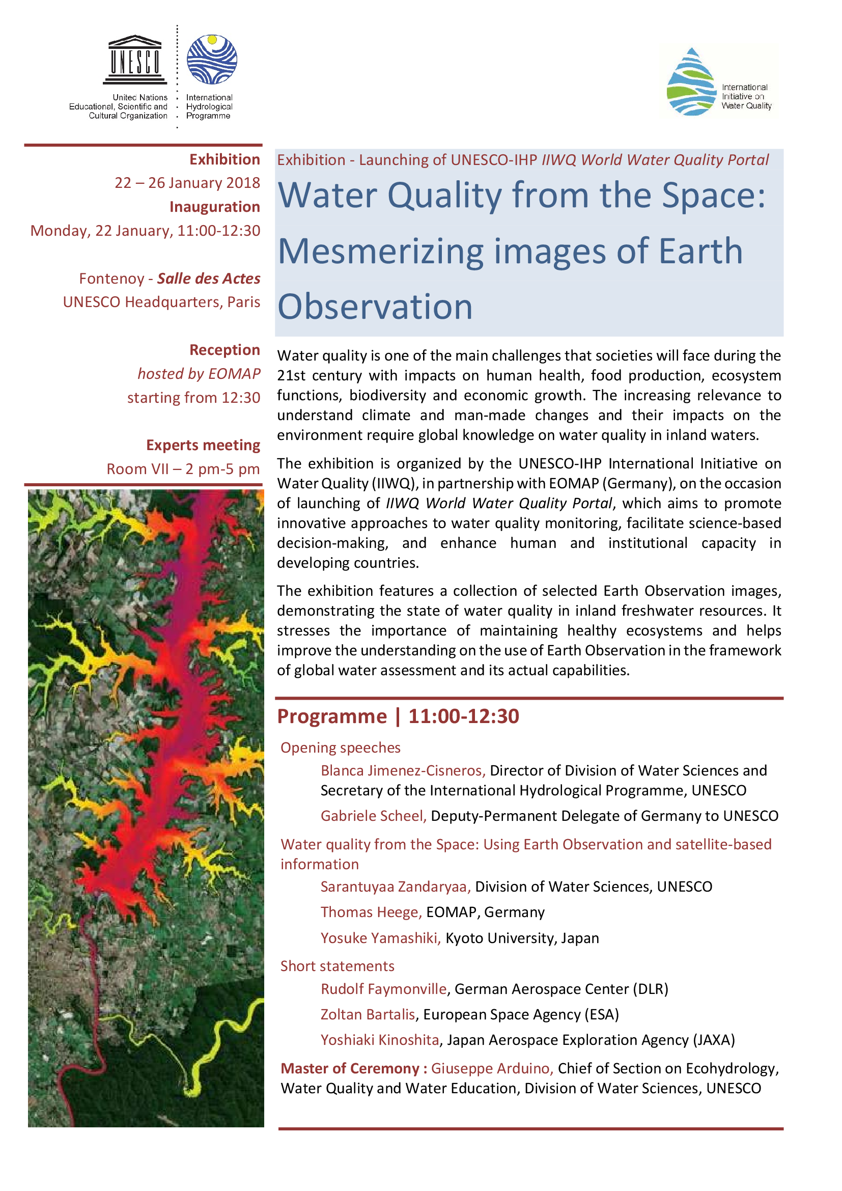
The exhibition is organized by the UNESCO-IHP International Initiative on Water Quality (IIWQ), in partnership with EOMAP (Germany), on the occasion of launching of IIWQ World Water Quality Portal, which aims to promote innovative approaches to water quality monitoring, facilitate science-based decision-making, and enhance human and institutional capacity in developing countries.

Latest EOMAP News

Reuters bases Mekong article on EOMAP data

YellowScan integrates EOMAP’s services into LiDAR mapping solution

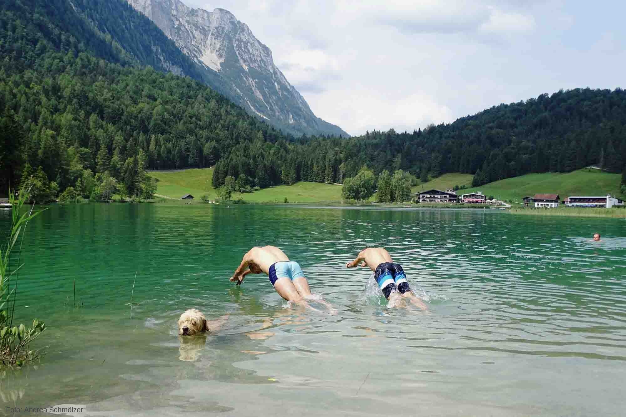
So machen Tourismusregionen saubere Gewässer sichtbar

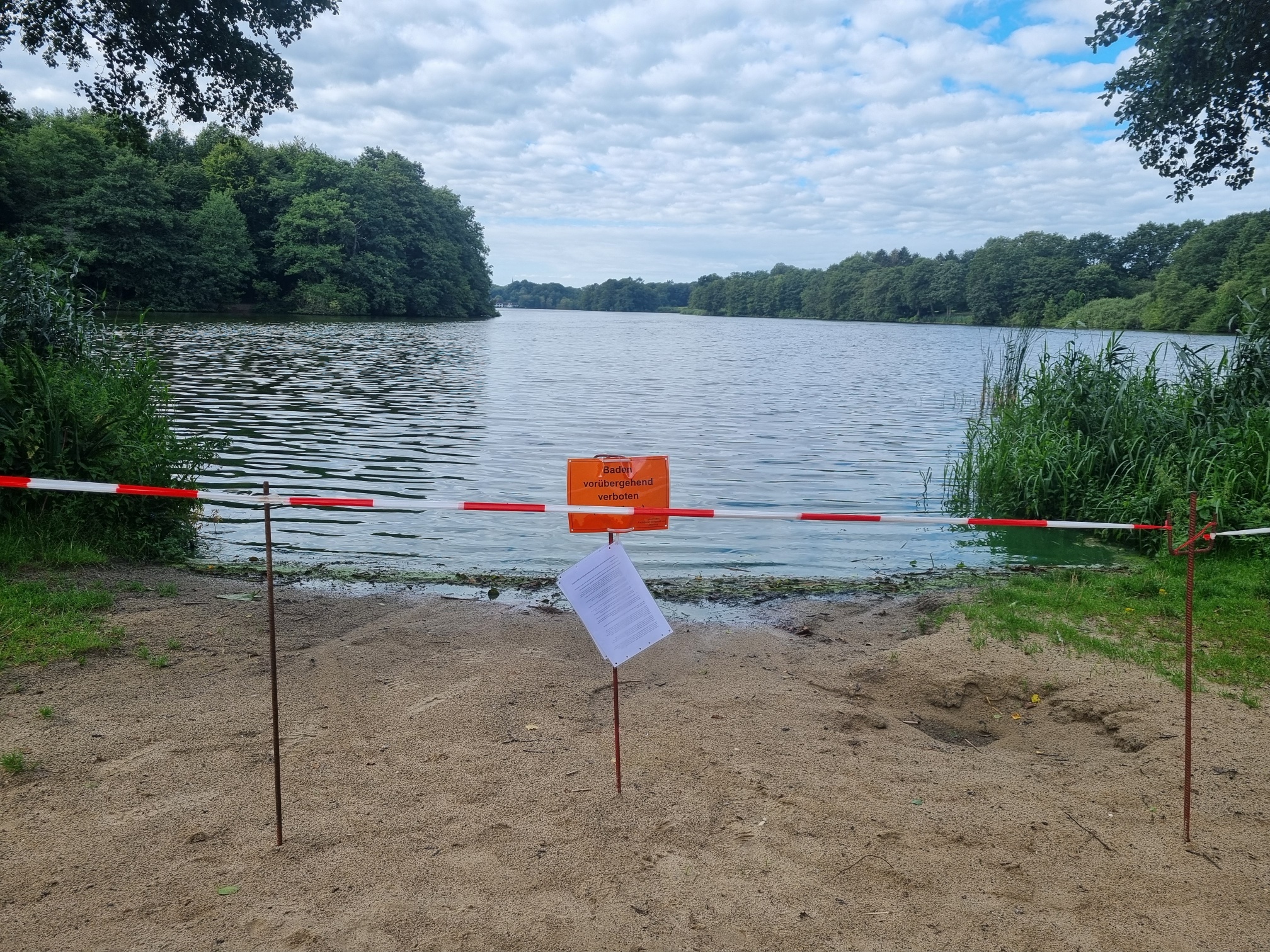
Blaualgen per Satellit: Jede Badestelle im Blick
The Development of EOMAP’s Water Quality Platform

Launching the world’s first comprehensive global water quality atlas with UNESCO
Related Posts
10 / 2026
YellowScan integrates EOMAP’s services into LiDAR mapping solution
10 / 2026
So machen Tourismusregionen saubere Gewässer sichtbar
09 / 2026
Blaualgen per Satellit: Jede Badestelle im Blick
09 / 2026
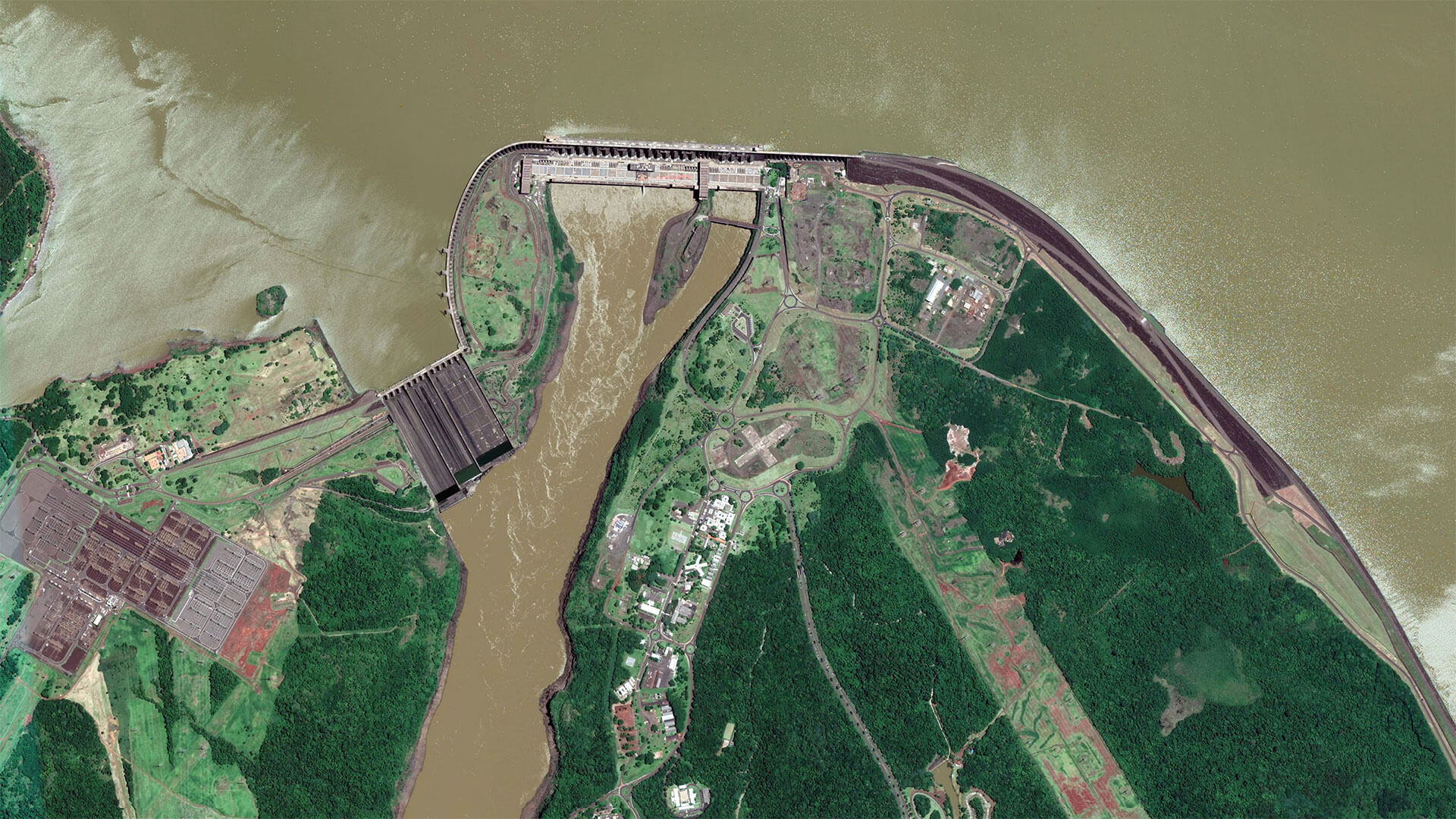
The Development of EOMAP’s Water Quality Platform

08 / 2026
Launching the world’s first comprehensive global water quality atlas with UNESCO

08 / 2026
eoapp DIVE unterstützt die Tauchplanung
06 / 2026
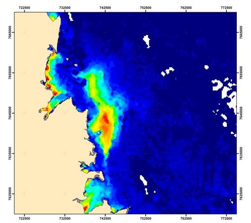
Dredge plume monitoring using satellite-based turbidity mapping
04 / 2026
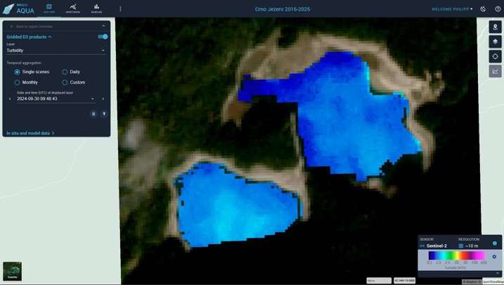
Advocating for Healthy Mountain Ecosystems
04 / 2026
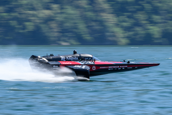
Environmental monitoring for sporting events

04 / 2026

