
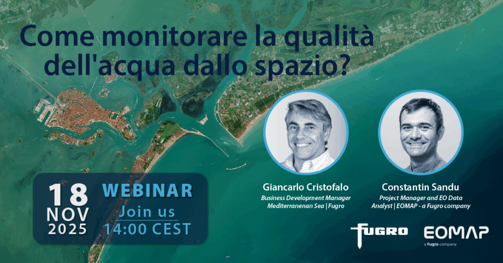
Grazie mille to all participants of the webinar ‘Il monitoraggio della qualità delle acque dallo spazio” on 18 November 2025. We hope you enjoyed the 60 minutes’ walk through aquatic remote sensing and its applications across Europe. For Giancarlo, Consta, and all the Fugro-EOMAP team, it was a great pleasure having you.
In case you missed the webinar or would like to review certain parts, please find the link to the Italian presentation and more options to interact with us below the image.
- Download the final presentation in Italian.
- Send us an E-mail for the webinar recording, a certificate, or for a 1:1 call.
- Scroll through our storymap on satellite-based bathing water monitoring.
- Sign up for eoapp AQUA to experience the free demo regions.
- Follow EOMAP and Fugro on LinkedIn.
Saremo lieti di ascoltarvi!
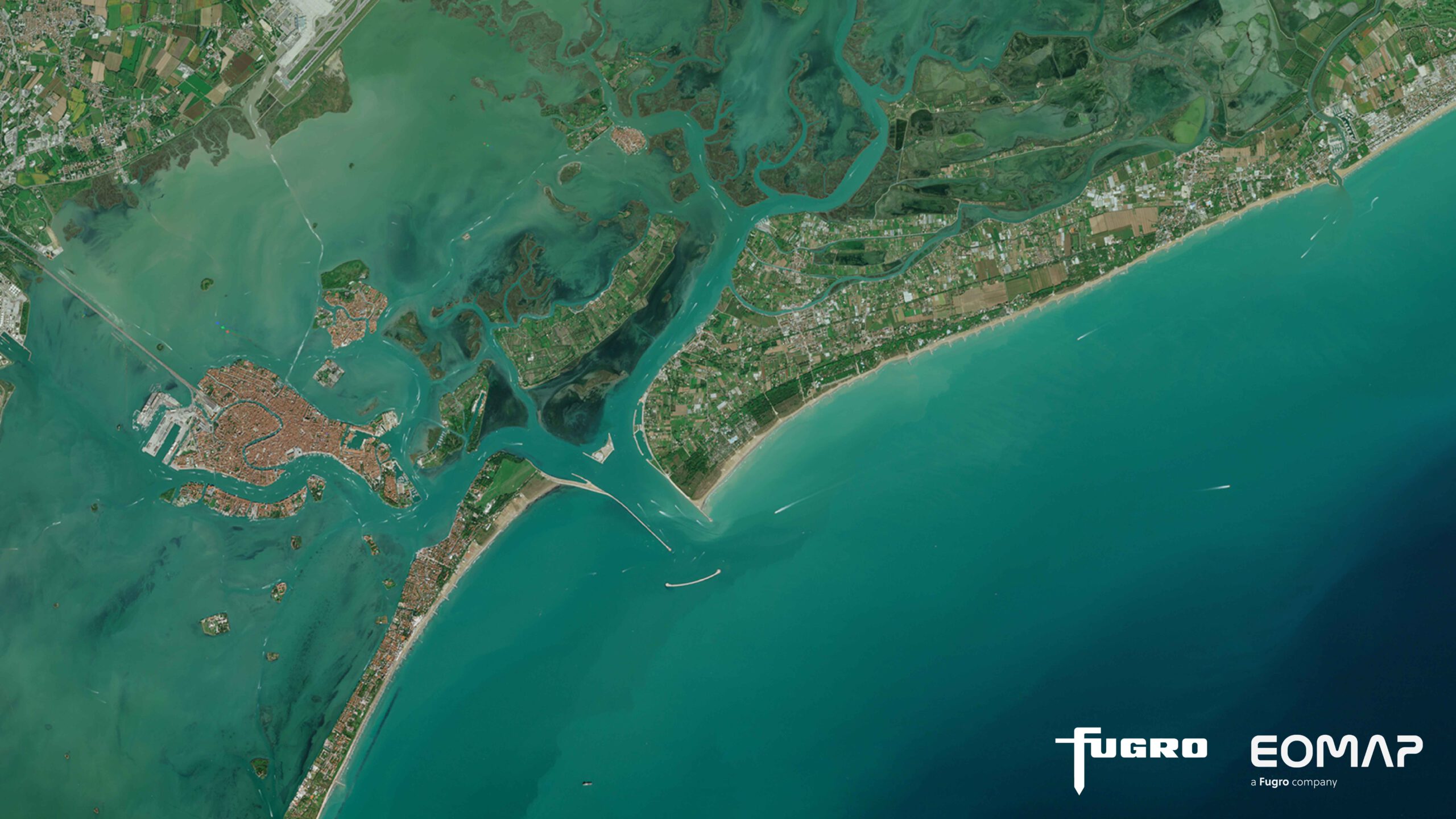
Latest EOMAP News

Reuters bases Mekong article on EOMAP data
The Development of EOMAP’s Water Quality Platform

UNESCO Water Quality Portal launched

Launching the world’s first comprehensive global water quality atlas with UNESCO

Oman Oil Spill: SDB Mapping of Critical Shallow Waters for Safe Salvage

eoapp DIVE unterstützt die Tauchplanung
Related Posts
09 / 2026
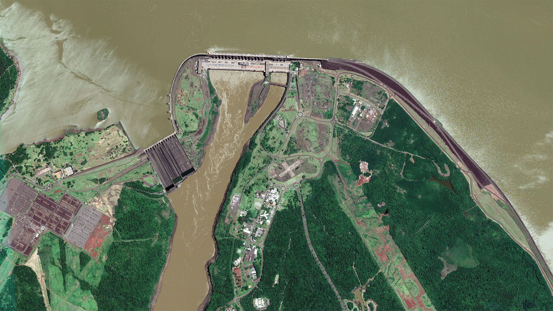
The Development of EOMAP’s Water Quality Platform
09 / 2026
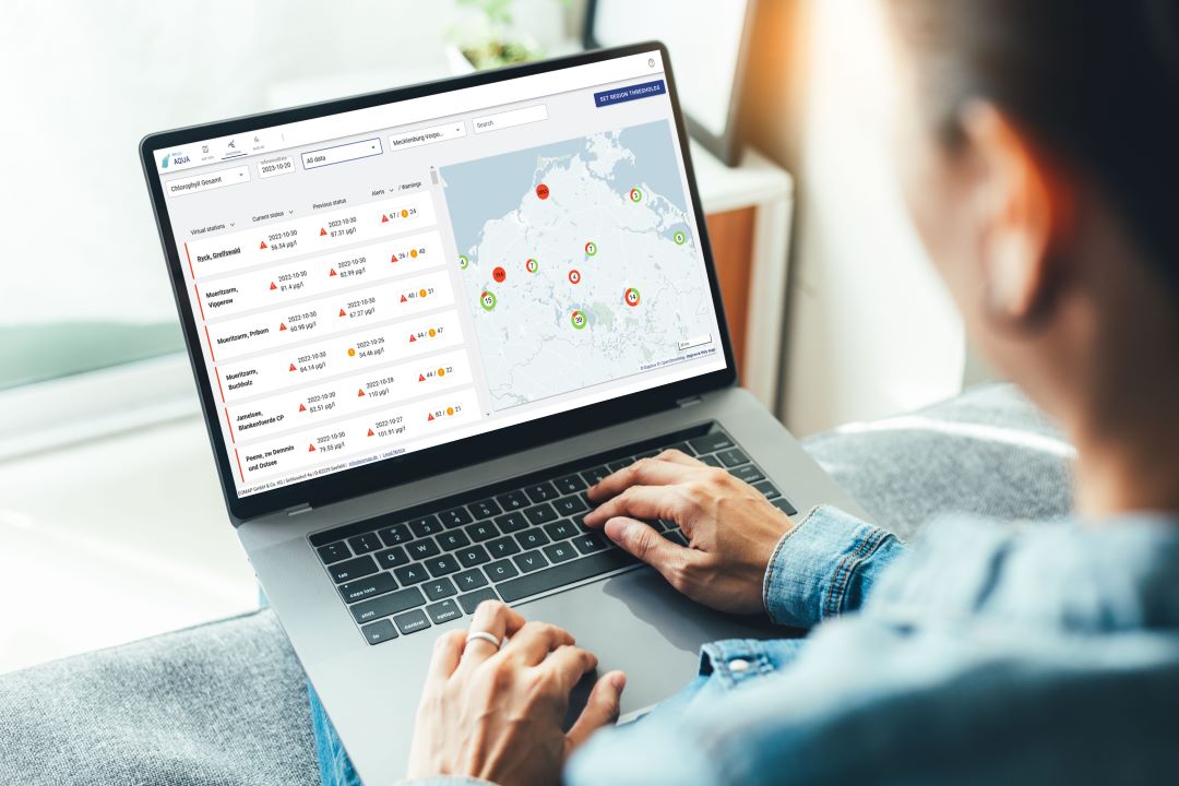
UNESCO Water Quality Portal launched

08 / 2026
Launching the world’s first comprehensive global water quality atlas with UNESCO

08 / 2026
eoapp DIVE unterstützt die Tauchplanung
06 / 2026
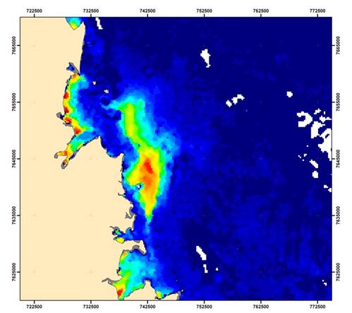
Dredge plume monitoring using satellite-based turbidity mapping
04 / 2026
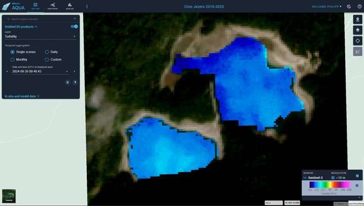
Advocating for Healthy Mountain Ecosystems
04 / 2026
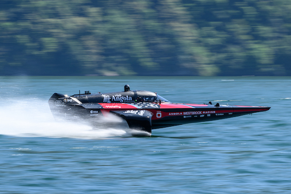
Environmental monitoring for sporting events

04 / 2026
20 Years EOMAP: Advancing Earth Observation
03 / 2026
New BD & Sales Manager for the Americas
03 / 2026

