
EOMAP at MES 2013 Vietnam
EOMAP participates in the Mekong Environmental Symposium 2013 in Ho Chi Minh City, Vietnam.
The Symposium is a three-day platform for national decision makers, renowned scientists, and industry from all six Mekong riparian countries, as well as from the international community to share their experience and knowledge. It will focus on relevant aspects of finding equilibriums between necessary economic development as well as the urgent need for environmental protection and the maintenance of the Mekong’s river ecology. EOMAP demonstrates water quality products from the Chinese Mekong down to the river delta. Using high resolution satellite data we could highlight the development of damns and their impact to the river since the early 1980ties.
Further information can be found here or contact us.

Latest EOMAP News

Reuters bases Mekong article on EOMAP data
The Development of EOMAP’s Water Quality Platform

UNESCO Water Quality Portal launched

Launching the world’s first comprehensive global water quality atlas with UNESCO

Oman Oil Spill: SDB Mapping of Critical Shallow Waters for Safe Salvage

eoapp DIVE unterstützt die Tauchplanung
Related Posts
09 / 2026
The Development of EOMAP’s Water Quality Platform
09 / 2026
UNESCO Water Quality Portal launched

08 / 2026
Launching the world’s first comprehensive global water quality atlas with UNESCO

08 / 2026
eoapp DIVE unterstützt die Tauchplanung
06 / 2026
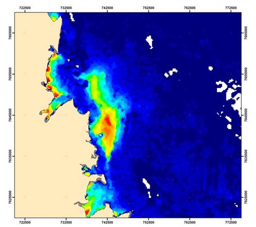
Dredge plume monitoring using satellite-based turbidity mapping
04 / 2026
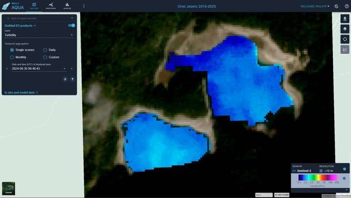
Advocating for Healthy Mountain Ecosystems
04 / 2026
Environmental monitoring for sporting events

04 / 2026
20 Years EOMAP: Advancing Earth Observation

03 / 2026
New BD & Sales Manager for the Americas
03 / 2026

