
Seefeld, October 2018 EOMAP has provided satellite-based water quality monitoring for Georgia’s river system to support strategic assessment of the power sector development in this region. The economic and ecological evaluation of new hydropower developments rely on a number of environmental conditions, such as key hydrological parameters. For example, major drivers of reservoir storage capacity over time, reservoir life time (and related re-investment time), and also a major driver of the operatio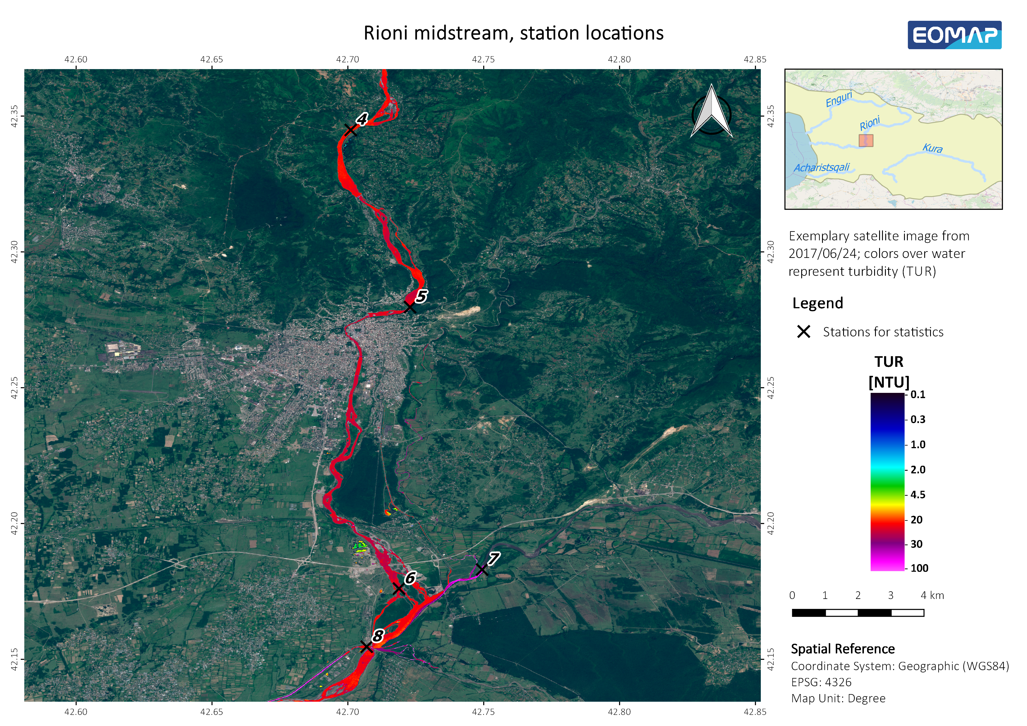 ns costs are directly related to the sediment regime and sediment trapping. These are defined by external environmental boundary conditions.
At pre-planning stage, this data is often not available for extended areas and river systems that have to be investigated for regional developments. This creates major risks for the sustainability of development plans. Satellite-based water quality monitoring can help to reduce these economic risks in hydropower developments.
EOMAP’s main project objective was to assess the satellite-based turbidity and related suspended matter concentrations and seasonal changes for the major rivers in Georgia and to prove the feasibility of such data for planning of hydropower and water constructions. EOMAP was appointed to carry out the satellite-based measurements by Stucky Ltd., an engineering consultancy, specialising in hydropower.
The analysis was performed independently from in-situ data for the rivers Adzhariskali, Mtkvari, Rioni and Enguri, allowing for the limited availability and the unknown harmonization level of the data.
EOMAP will be at the Hydropower & Dams 2018 Conference in Gdansk, Poland and present the results of the project on Wednesday, October 17, 2018. Please follow the link for the conference programme.

Latest EOMAP News

Reuters bases Mekong article on EOMAP data

So machen Tourismusregionen saubere Gewässer sichtbar

Blaualgen per Satellit: Jede Badestelle im Blick
The Development of EOMAP’s Water Quality Platform

Launching the world’s first comprehensive global water quality atlas with UNESCO

Oman Oil Spill: SDB Mapping of Critical Shallow Waters for Safe Salvage
Related Posts
10 / 2026
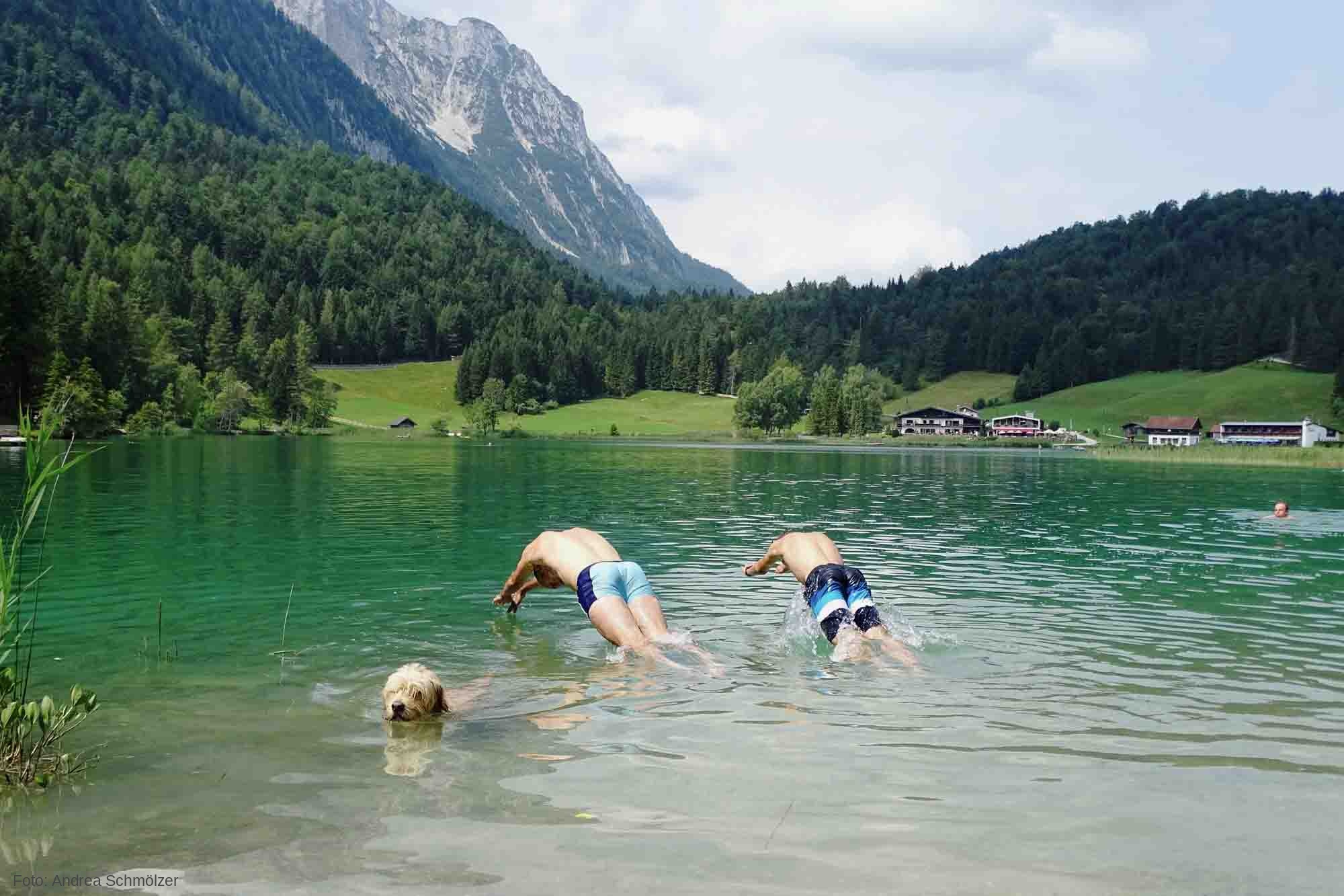
So machen Tourismusregionen saubere Gewässer sichtbar
09 / 2026
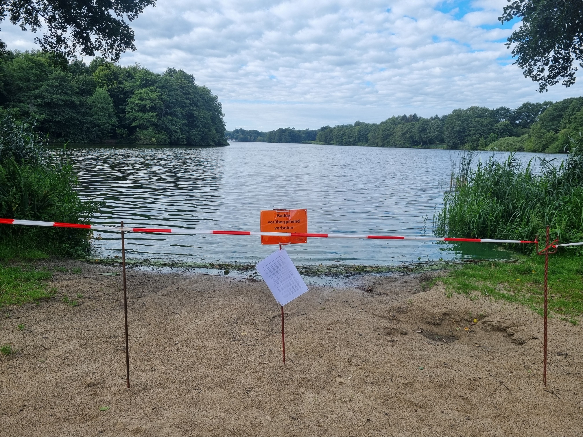
Blaualgen per Satellit: Jede Badestelle im Blick
09 / 2026
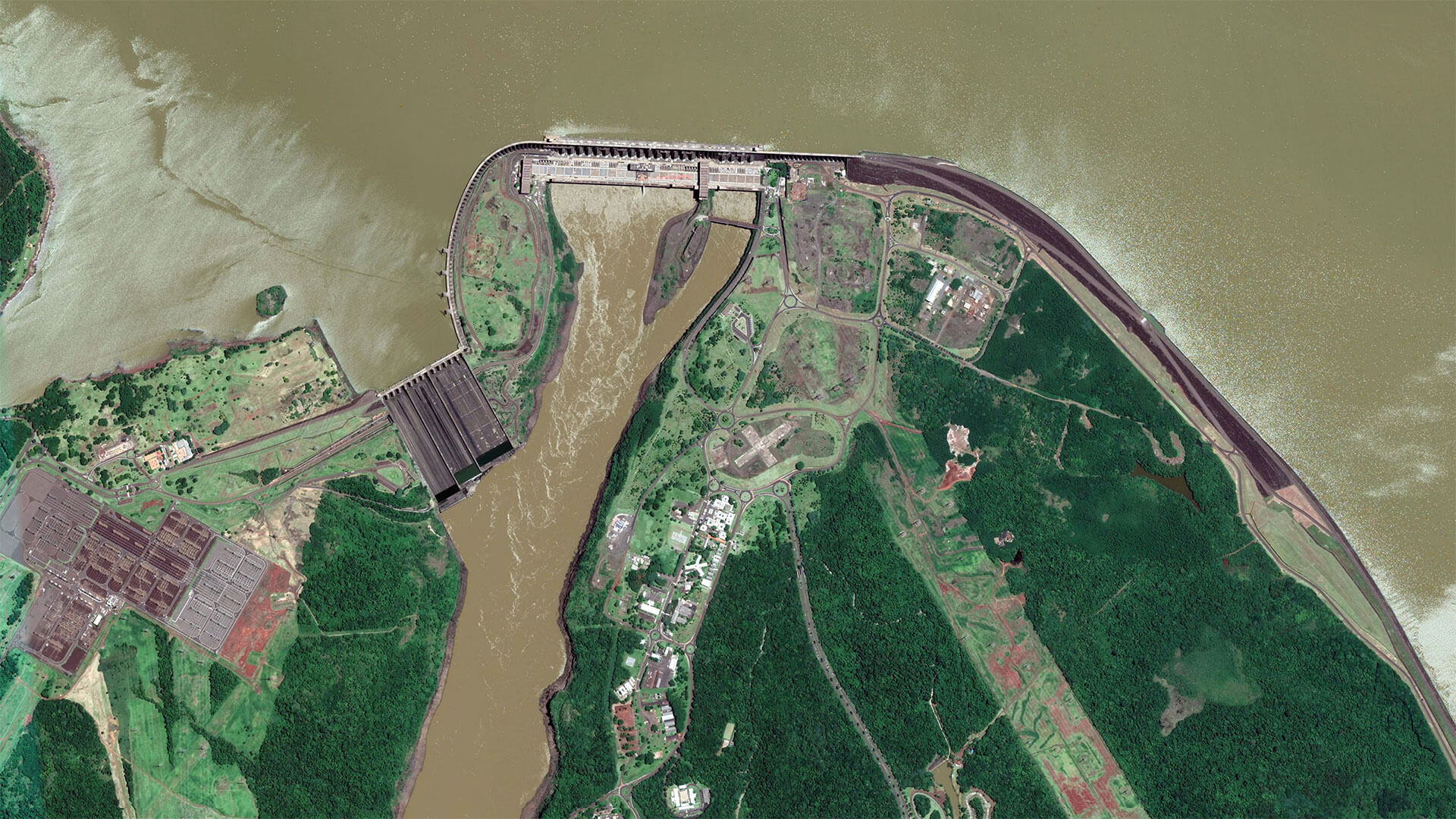
The Development of EOMAP’s Water Quality Platform

08 / 2026
Launching the world’s first comprehensive global water quality atlas with UNESCO

08 / 2026
eoapp DIVE unterstützt die Tauchplanung
06 / 2026
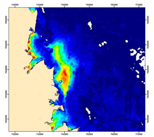
Dredge plume monitoring using satellite-based turbidity mapping
04 / 2026
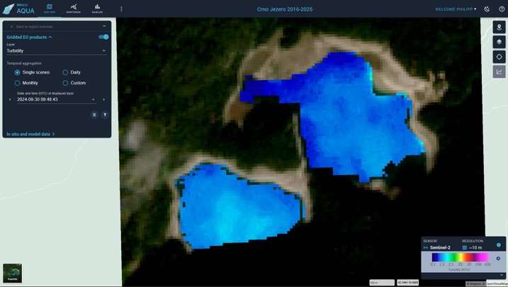
Advocating for Healthy Mountain Ecosystems
04 / 2026
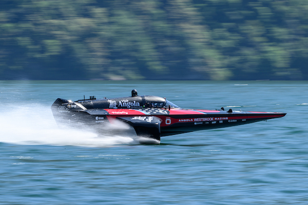
Environmental monitoring for sporting events

04 / 2026
20 Years EOMAP: Advancing Earth Observation

03 / 2026

