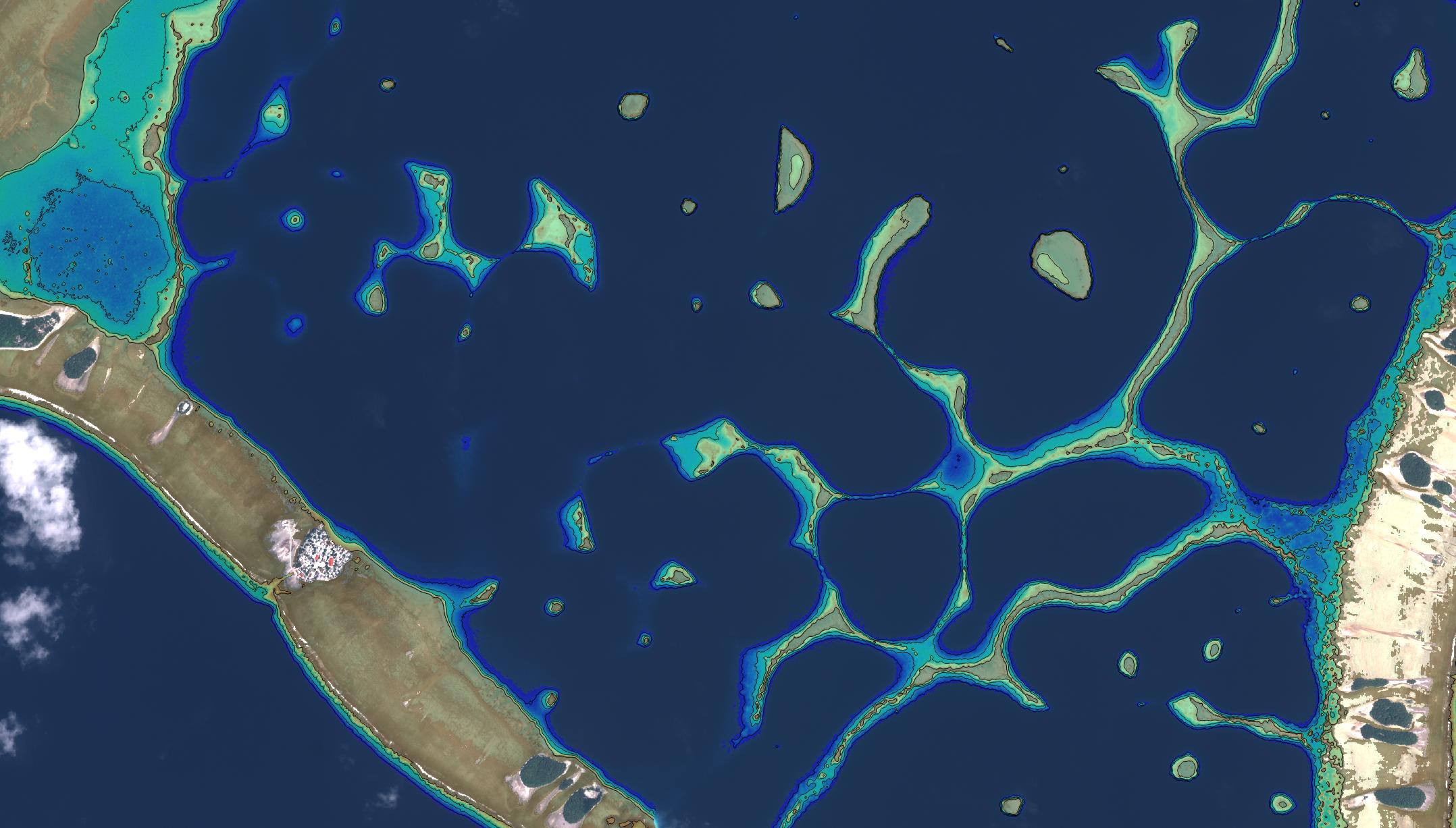
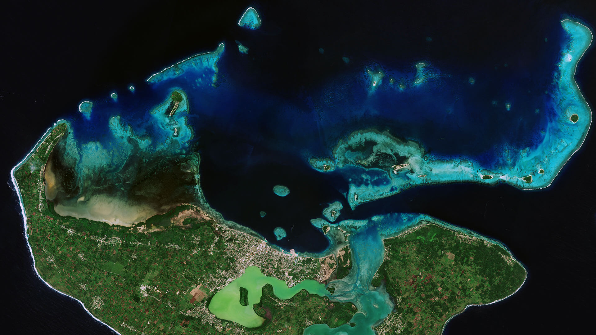
Very-High Resolution Satellite-Derived Bathymetry Survey
EOMAP Australia, together with project partner iXsurvey, have been contracted by Land Information New Zealand (LINZ) to map Satellite-Derived Bathymetry (SDB) for Tonga, Tokelau and areas within Niue and the Cook Islands. The mapping is part of the world’s first ever survey project on this scale utilising Satellite-Derived Bathymetry, airborne bathymetric lidar and a vessel-mounted multibeam echo sounder for the same project. The resulting 2 m grid (horizontal resolution) SDB product is one of the largest very-high resolution SDB datasets completed worldwide. The dataset allowed LINZ to accurately position all of the islands across the survey area in a very cost-effective manner.
A total of 74 datasets from DigitalGlobe’s WorldView-2, 3 and 4 and GeoEye satellites have been processed, covering more than 1000 km2 with Satellite-Derived Bathymetry data. New satellite imagery was commissioned for sites where archived data did not fulfil the client’s specifications. A supplementary layer, outlining vertical uncertainties for the entire, area was also provided.
Images
Related Use Cases
SmartCoast – Mangrove mapping in Australia
Advice4COASTS
REMAP – a new workflow for drone mapping
COASTS – Coastal resilience and blue carbon
Blue carbon – Mangrove mapping in Madagascar
Seagrass Mapping in Italy
4S project – SDB mapping worldwide
3D live habitats for the full extent of the Great Barrier Reef
EMODnet
High-Resolution Seafloor Mapping for Environment Agency Abu Dhabi
