
Category: Capacity Building | Energy | R&I | Water Management | Water Quality
The Zambezi River counts among Africa's most important river basins. This ESA-funded project is centered on nature-based solutions to address [...]

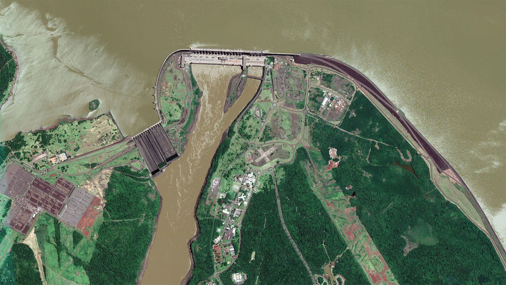
Category: Bathymetry | Capacity Building | Hydrography | R&I
4S stands for “Satellite Seafloor Software Suite”, an innovation project co-funded by EU Horizon Europe. Under the lead of [...]
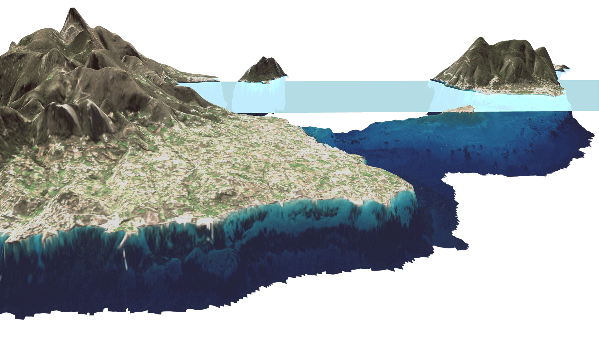
Category: Bathymetry | Capacity Building | Hydrography
Satellite-Derived Bathymetry for European Coastal Waters EOMAP provides current high-resolution Satellite-Derived Bathymetry (SDB) for EMODnet Bathymetry, a consortium of 41 [...]
Category: Capacity Building | Water Quality
EOMAP issued the first license of its latest, cloud-based processing system for quality assessment of inland and coastal water bodies [...]

Category: Bathymetry | Capacity Building
Satellite-Derived Bathymetry Technology and User Forum Satellite-Derived Bathymetry (SDB) has experienced accelerating uptake in recent years, with users from industry, [...]
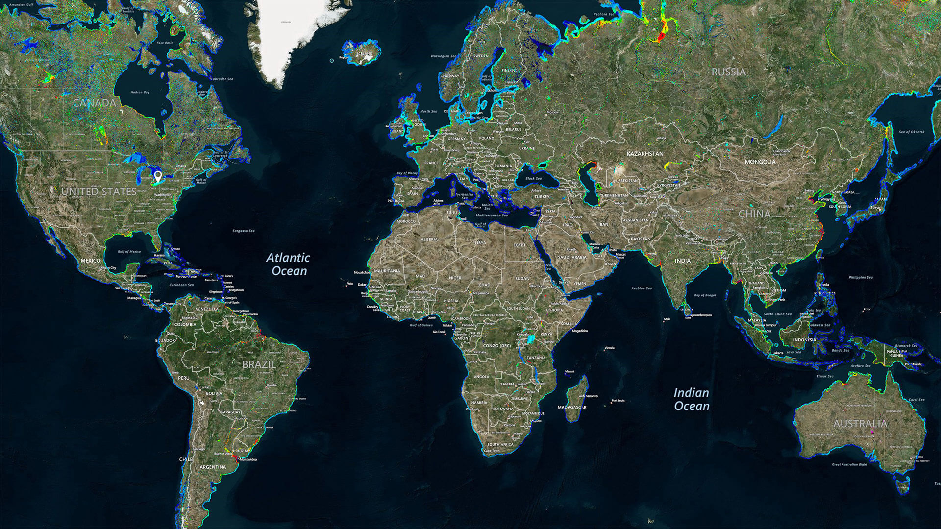
Category: Capacity Building | Water Quality
World’s first global water quality portal built to support UNESCO Program UNESCO, through its International Initiative on Water Quality (IIWQ) [...]
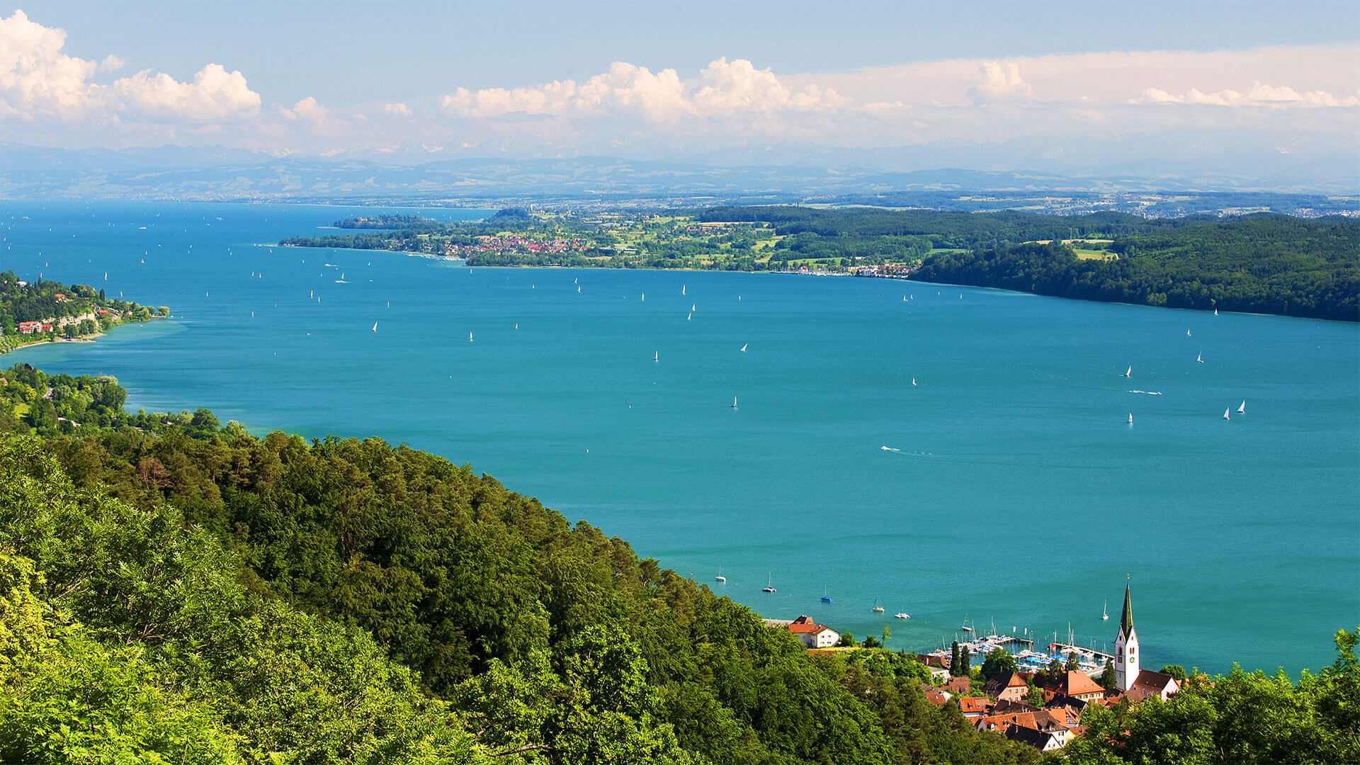
Category: Capacity Building | R&I | Water Quality
Satellite-derived Water Quality Data for Governmental Use Under the EU Water Framework Directive (EU WFD) environmental agencies are obliged to [...]


0
international awards
EOMAP – A FUGRO COMPANY
EOMAP OFFICES
LINKS
Copyright 2026 EOMAP GmbH & Co. KG • Imprint • Privacy Policy • Cookie settings