
Bathymetric data is key for navies and hydrographic offices. They must navigate rising operational demands while maintaining the highest standards of safety and precision. At the same time, the need for fast, data‑driven insights is growing, calling for efficient and robust methods.
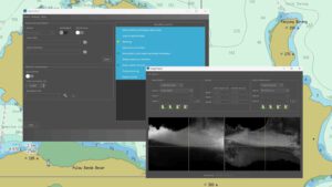 With WATCOR‑X, authorities can derive shallow‑water bathymetry accurately, securely, and on demand. It empowers users to generate high‑resolution bathymetric grids anywhere on the globe, without the need for site‑specific calibration data.
The new WATCOR-X subpage offers a detailed overview of the capabilities, including key features, processing insights, and real‑world advantages for operational users. Moreover, it includes a testimonial from a leading Australian hydrographer.
For a closer look at WATCOR‑X in action, we also provide a series of explanatory tutorials on YouTube. These step‑by‑step videos demonstrate key functions, workflows, and use cases – helping new users quickly understand what the software can do.
Contact shallowwater@eomap.com for further details.

Latest EOMAP News

Reuters bases Mekong article on EOMAP data

So machen Tourismusregionen saubere Gewässer sichtbar

Blaualgen per Satellit: Jede Badestelle im Blick
The Development of EOMAP’s Water Quality Platform

Launching the world’s first comprehensive global water quality atlas with UNESCO

Oman Oil Spill: SDB Mapping of Critical Shallow Waters for Safe Salvage
Related Posts
10 / 2026
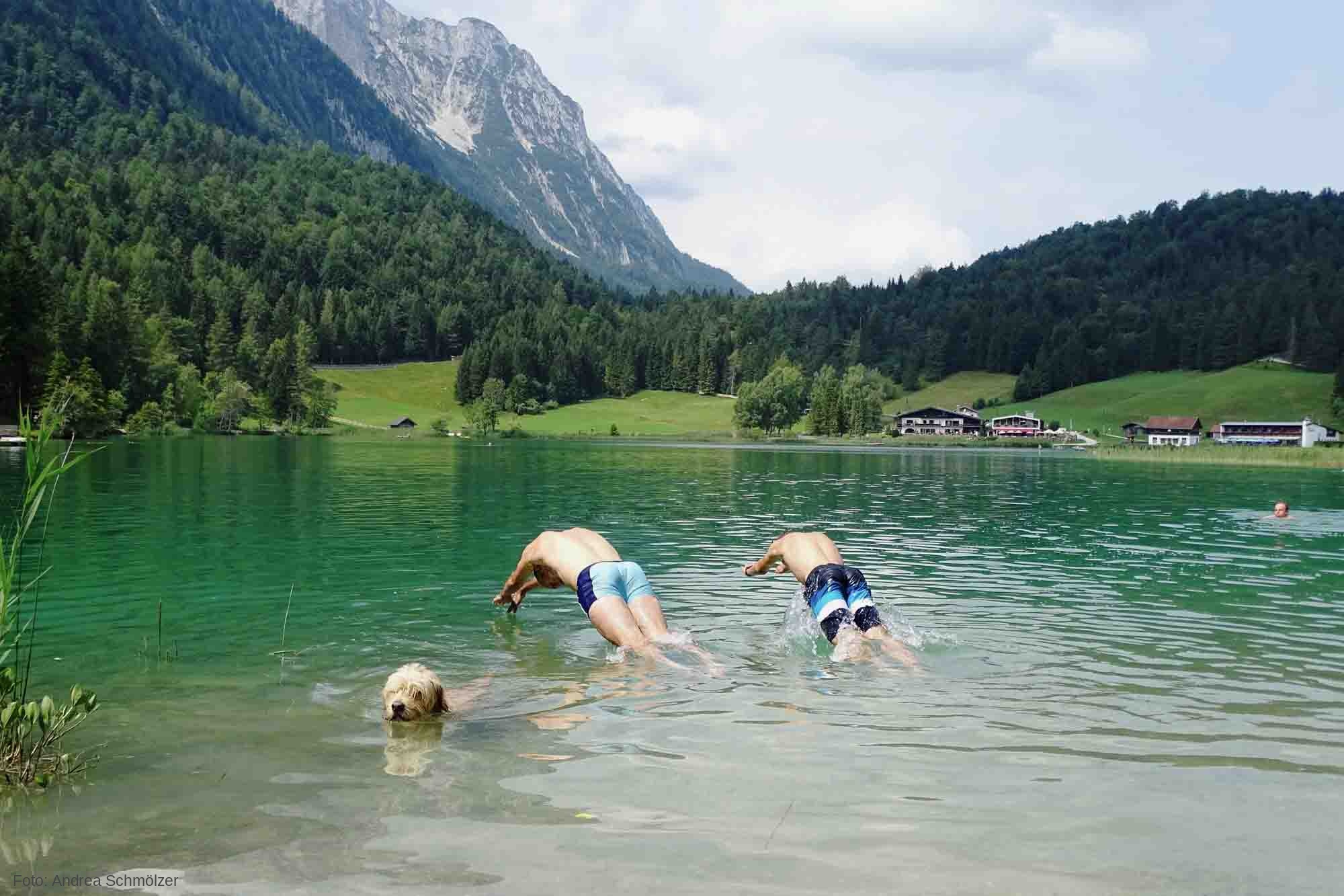
So machen Tourismusregionen saubere Gewässer sichtbar
09 / 2026
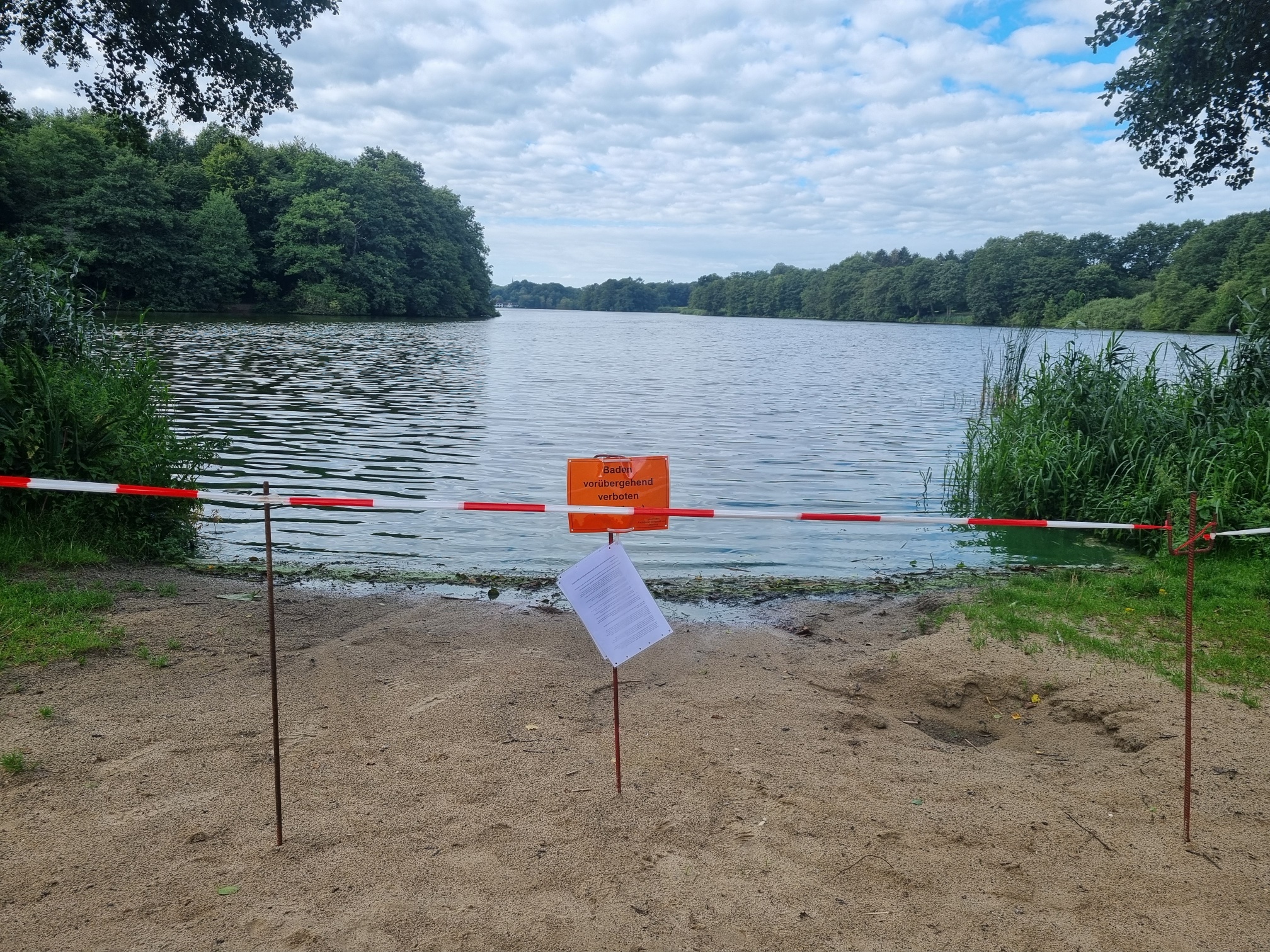
Blaualgen per Satellit: Jede Badestelle im Blick
09 / 2026
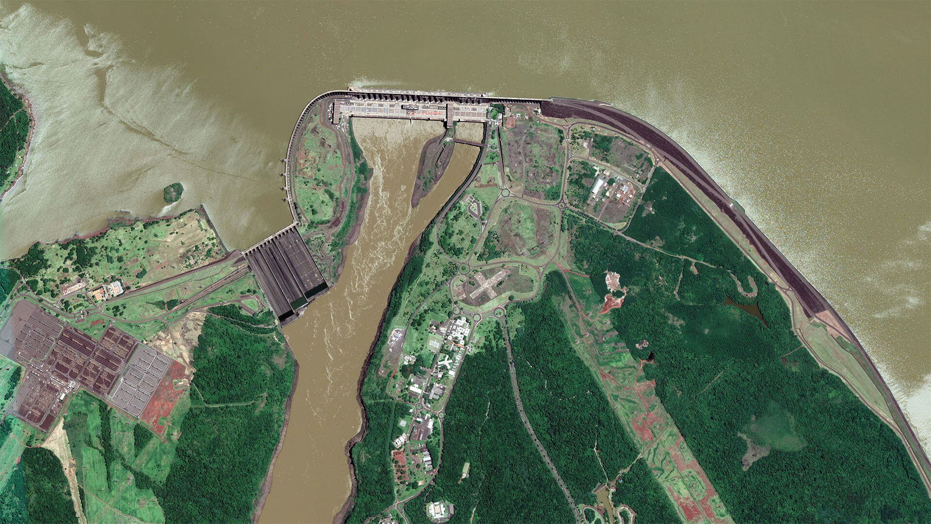
The Development of EOMAP’s Water Quality Platform

08 / 2026
Launching the world’s first comprehensive global water quality atlas with UNESCO
08 / 2026
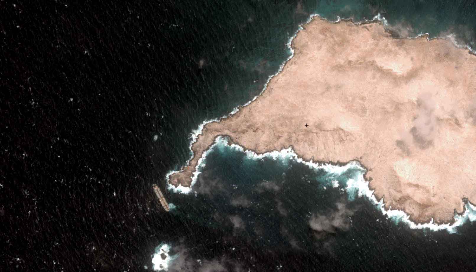
Oman Oil Spill: SDB Mapping of Critical Shallow Waters for Safe Salvage

08 / 2026
eoapp DIVE unterstützt die Tauchplanung

07 / 2026
UKHO’s highest-ranked Satellite-Derived Bathymetry provider

06 / 2026
Mapping the ‘unmappable’ Great Barrier Reef

04 / 2026
Ningaloo Reef 2009: Hyperspectral Marine Habitat Mapping
04 / 2026

