
Milestone #8: From eoLytics Water Quality to eoapp AQUA
Water bodies worldwide are under growing pressure from pollution, climate change, and other influences. Public authorities and industry need fast, reliable information to stay ahead of emerging risks. Yet many regions still lack the monitoring capacity to do so.
That’s where eoLytics Water Quality came in
In 2019, EOMAP’s first cloud-based processing system, letting users control state-of-the-art satellite water quality analysis directly within the EOMAP cloud. Users with an activated account can run their own water quality analyses using EOMAP’s proven and established Modular Inversion and Processing System (MIP).
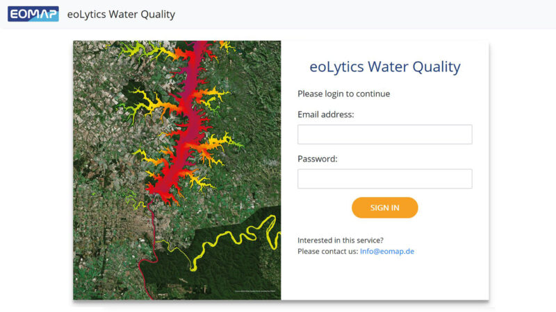
eoLytics Water Quality Portal
Brazilian company Lactec became the first customer to license it. An EOMAP team travelled to Brazil for a week of hands-on training and capacity building, after which Lactec’s staff were able to calculate the full range of EOMAP’s satellite-derived water quality parameters for the whole of Brazil, using data from Landsat 8, Sentinel-2 and Sentinel-3.
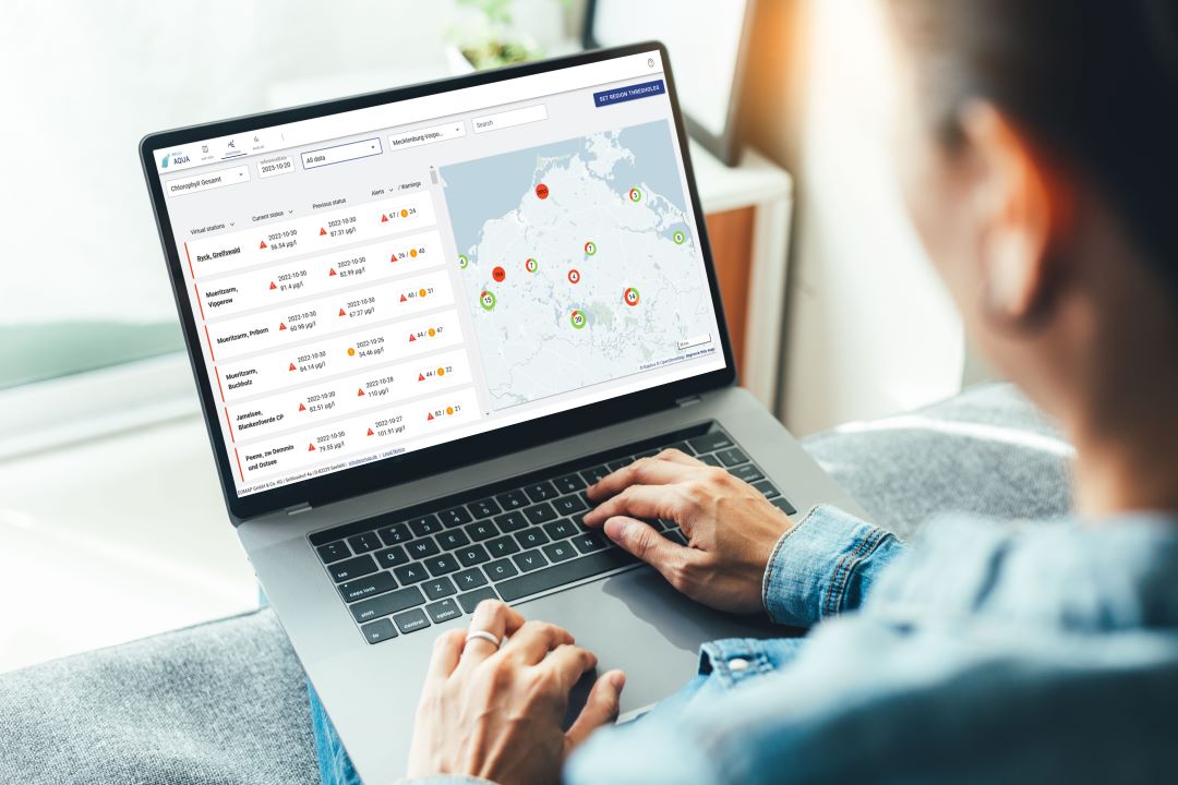
In April 2024, eoLytics Water Quality’s successor arrived: eoappTM AQUA, a more powerful, intuitive web app developed under the ESA InCubed project EOSmart, together with partners including Xylem and Fugro.
What you can expect from eoapp AQUA today
- On-demand water quality data for any coastal or inland water body
- An intuitive viewer, 40+ years of long-term analysis, and status monitoring
- Custom threshold alerts, built on a physics-based foundation
Learn More
Explore free demo regions: eoapp AQUA
Follow along and share your memories in the comments as we look back on two decades of progress, collaboration, and impact!
Latest EOMAP News

Reuters bases Mekong article on EOMAP data
The Development of EOMAP’s Water Quality Platform

UNESCO Water Quality Portal launched

Launching the world’s first comprehensive global water quality atlas with UNESCO

Oman Oil Spill: SDB Mapping of Critical Shallow Waters for Safe Salvage

eoapp DIVE unterstützt die Tauchplanung
Related Posts
09 / 2026
UNESCO Water Quality Portal launched

08 / 2026
Launching the world’s first comprehensive global water quality atlas with UNESCO

08 / 2026
eoapp DIVE unterstützt die Tauchplanung
06 / 2026
Dredge plume monitoring using satellite-based turbidity mapping
04 / 2026
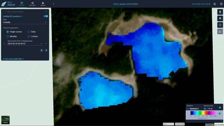
Advocating for Healthy Mountain Ecosystems
04 / 2026
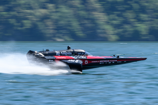
Environmental monitoring for sporting events

04 / 2026
20 Years EOMAP: Advancing Earth Observation
03 / 2026
New BD & Sales Manager for the Americas
03 / 2026
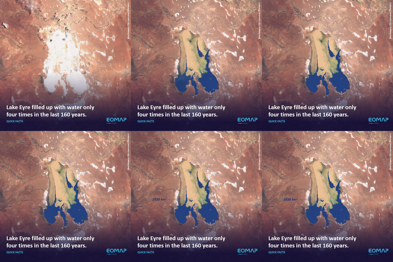
Quick Facts: Lake Eyre

02 / 2026

