Milestone #1: 20 years ago, EOMAP was founded with a bold ambition: to transform the way we understand inland waters and coastal environments through satellite-based analytics.
When Thomas Heege founded the company in 2006, satellite‑based water analytics were still a young and largely unexplored field. Yet, the need for reliable, science‑driven insights was already clear.
“From the very beginning, our purpose has been to bridge the gap between scientific excellence and real-world decision-making, and to make satellite-derived information accessible to organisations around the globe”, Thomas says looking back.
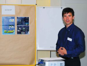
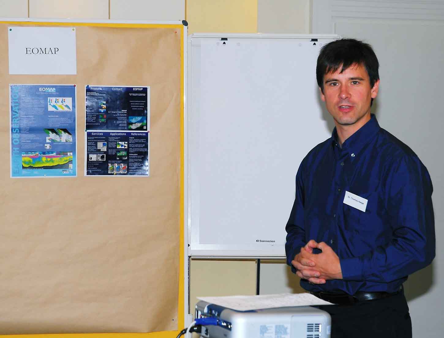
In spring 2006, Thomas Heege pitched EOMAP products and services during a founders’ training in Kiel, northern Germany. At that time, product maps were still generated from multi- and hyperspectral airborne data. This was due to the limited number of high-resolution satellites available.
Early Support and Strong Partnerships
A huge thanks goes to German Aerospace Center (DLR) Technology Transfer, especially to Rudolf Faymonville, whose belief in us was instrumental during our start‑up years and also thank his successor, Robert Klarner, who has continued this spirit of support.
We are also deeply grateful for the encouragement from Thorsten Rudolph at AZO Anwendungszentrum GmbH Oberpfaffenhofen as well as the guidance of Prof. Manfred Schroeder, the former head of the EO department.
Celebrating Two Decades of Progress
As EOMAP’s 20‑year anniversary this summer is approaching, we’re excited to share the milestones of our journey with you in a post series. The series will highlight pioneering research and breakthrough innovations to global partnerships and project highlights across inland and coastal waters.
Follow along and share your memories in the comments as we look back on two decades of progress, collaboration, and impact!
Latest EOMAP News

Reuters bases Mekong article on EOMAP data

UKHO’s highest-ranked Satellite-Derived Bathymetry provider in 2015

Mapping the ‘unmappable’ Great Barrier Reef

Dredge plume monitoring using satellite-based turbidity mapping

Pioneering seagrass mapping at the Italian coastline in 2006

Mapping Ningaloo Reef 2009: A Breakthrough in Hyperspectral Marine Habitat Analysis
Related Posts

07 / 2026
UKHO’s highest-ranked Satellite-Derived Bathymetry provider in 2015

06 / 2026
Mapping the ‘unmappable’ Great Barrier Reef

06 / 2026
Dredge plume monitoring using satellite-based turbidity mapping

04 / 2026
Mapping Ningaloo Reef 2009: A Breakthrough in Hyperspectral Marine Habitat Analysis

04 / 2026
Advocating for Healthy Mountain Ecosystems

04 / 2026
Environmental monitoring for sporting events

03 / 2026
New BD & Sales Manager for the Americas

03 / 2026
Quick Facts: Lake Eyre

02 / 2026
WATCOR‑X Bathymetry Software for Navies and Hydrographic Offices

02 / 2026
