
Sediment Management from Space
HYPOS is a new toolbox for efficient sediment management in the hydropower industry. For offering a wholistic view on (hydropower and drinking water) reservoirs, the smart online solution combines satellite with modelling and in situ data. Within few mouse clicks, it allows to efficiently manage one of the key cost drivers in waterpower: sedimentation.
After the successful finalization of this EU co-funded project the commercial leaflet has now been launched. It includes
📍 an introduction to the HYPOS concept
📍 two factsheets for hydropower design and operation
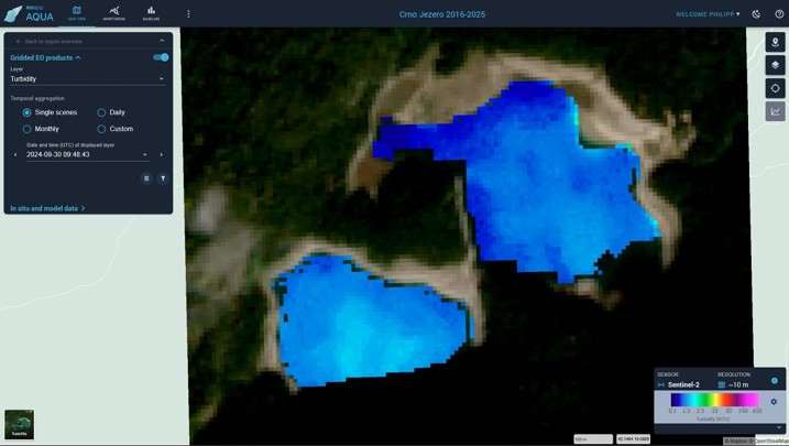
📍 description of the key products of the tool, such as Chlorophyll a, turbidity, harmful algae blooms (HAB), or surface temperature.
📍 as well as an overview of the satellite sensors
📍 and the modelling data used.
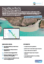
Click on the image to download the HYPOS Commercial Leaflet.
From now on, HYPOS will be marketed by EOMAP’s water quality team. Please get in touch for a free trial account.
💡 Hydropower stakeholders benefit from satellite-based and hydrological information by significant information gain and decision support. The HYPOS toolbox is highly relevant for dam design and operation processes.
EOMAP has developed this multi-source online-solution together with its Consortium partners Gruner Stucky Ltd. (Switzerland), NTNU (Norway), SMHI (Sweden) and CNR (Italy).
More details:
Please read and learn more about the project here.
For a free trial account to HYPOS, please get in touch with the EOMAP Water Quality Team via Email
Stay tuned and follow EOMAP on Linked in

Latest EOMAP News

Reuters bases Mekong article on EOMAP data

So machen Tourismusregionen saubere Gewässer sichtbar

Blaualgen per Satellit: Jede Badestelle im Blick
The Development of EOMAP’s Water Quality Platform

Launching the world’s first comprehensive global water quality atlas with UNESCO

Oman Oil Spill: SDB Mapping of Critical Shallow Waters for Safe Salvage
Related Posts
10 / 2026
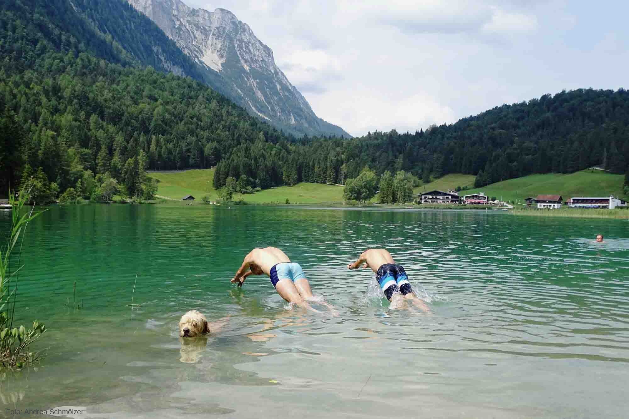
So machen Tourismusregionen saubere Gewässer sichtbar
09 / 2026
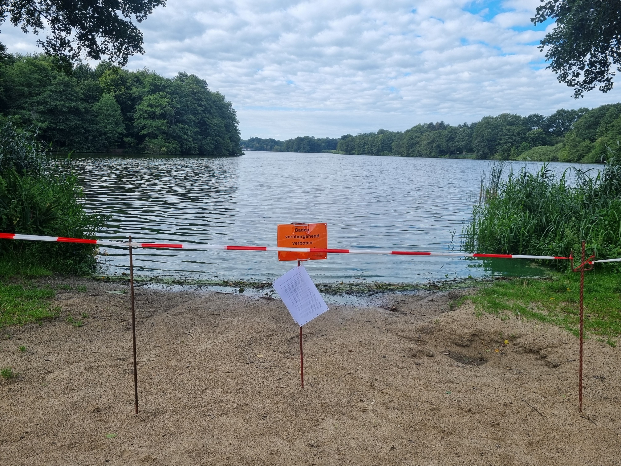
Blaualgen per Satellit: Jede Badestelle im Blick
09 / 2026
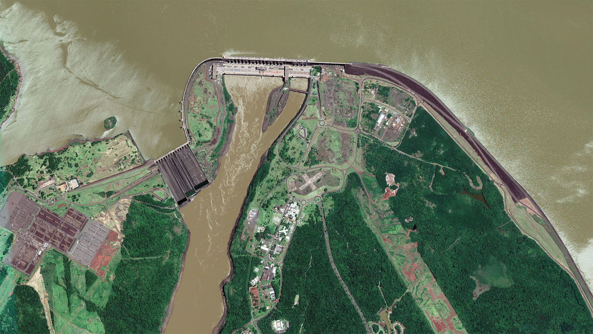
The Development of EOMAP’s Water Quality Platform

08 / 2026
Launching the world’s first comprehensive global water quality atlas with UNESCO

08 / 2026
eoapp DIVE unterstützt die Tauchplanung

06 / 2026
Mapping the ‘unmappable’ Great Barrier Reef
06 / 2026
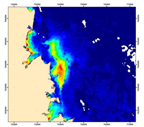
Dredge plume monitoring using satellite-based turbidity mapping

04 / 2026
Ningaloo Reef 2009: Hyperspectral Marine Habitat Mapping
04 / 2026
Advocating for Healthy Mountain Ecosystems
04 / 2026

