
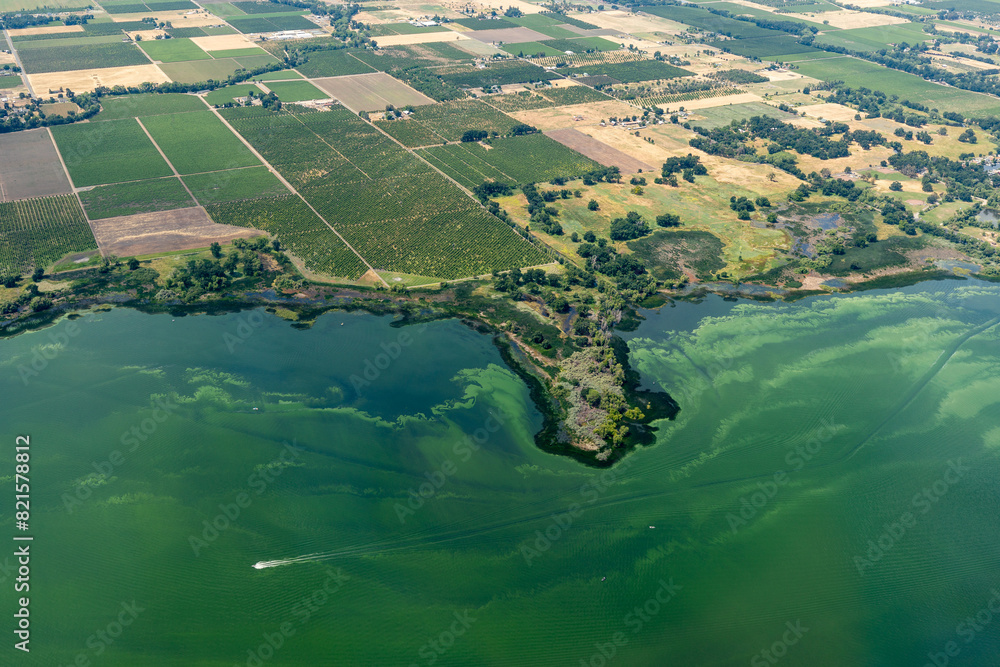
Discover the brand new storymap on bathing water monitoring! Learn why algae blooms are increasing and how space-based technology is helping to address this issue. You will also learn what “physics-based” remote sensing means and see use cases that highlight the strengths of this technology.
Smart monitoring of inland and coastal waters
Authorities need to comply with EU regulations such as the Water Framework Directive and the Bathing Water Directive.
Remote sensing is a highly efficient way to support them in these reporting routines. Many of our clients and partners value the wealth of spatial and temporal data, as well as the time and cost savings that space-based measurements offer.
Despite these advantages, satellite-based water quality measurements are still not widely recognised in water management. Through our story map, we aim to promote a better understanding of this innovative technology in a fun and engaging way.
Scroll through our new storymap to learn about
- The increasing risk of algae blooms
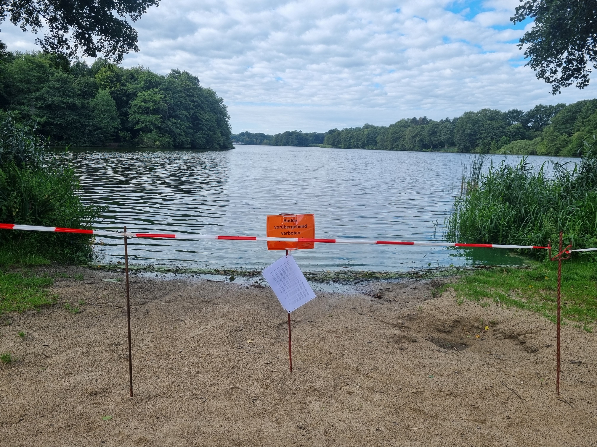
- Current monitoring challenges
- The technology of space-based water quality monitoring in simple words
- How we measure and validate the data
- Success stories from Germany
Dive deeper into Water Quality Monitoring
If you wish to explore the innovative, yet established mapping technology even in more depth, here are two recommendations:
➡️ The Water Quality “Deep Dive”.
➡️ A one-on-one call with one of our experts in our water quality team.
➡️ Sign up (for free) to eoapp AQUA and play around with the demo regions.
Contact
Please mail to wq@eomap.de for your individual EO solution.
Sign up Or simply get quotes for your area via our enquiry platform.
Latest EOMAP News

Reuters bases Mekong article on EOMAP data

YellowScan integrates EOMAP’s services into LiDAR mapping solution

So machen Tourismusregionen saubere Gewässer sichtbar

Blaualgen per Satellit: Jede Badestelle im Blick
The Development of EOMAP’s Water Quality Platform

Launching the world’s first comprehensive global water quality atlas with UNESCO
Related Posts
10 / 2026
YellowScan integrates EOMAP’s services into LiDAR mapping solution
10 / 2026
So machen Tourismusregionen saubere Gewässer sichtbar
09 / 2026
Blaualgen per Satellit: Jede Badestelle im Blick
09 / 2026
The Development of EOMAP’s Water Quality Platform

08 / 2026
Launching the world’s first comprehensive global water quality atlas with UNESCO

08 / 2026
eoapp DIVE unterstützt die Tauchplanung

06 / 2026
Mapping the ‘unmappable’ Great Barrier Reef
06 / 2026
Dredge plume monitoring using satellite-based turbidity mapping
05 / 2026
Pioneering seagrass mapping at the Italian coastline in 2006

04 / 2026

