08 / 2026
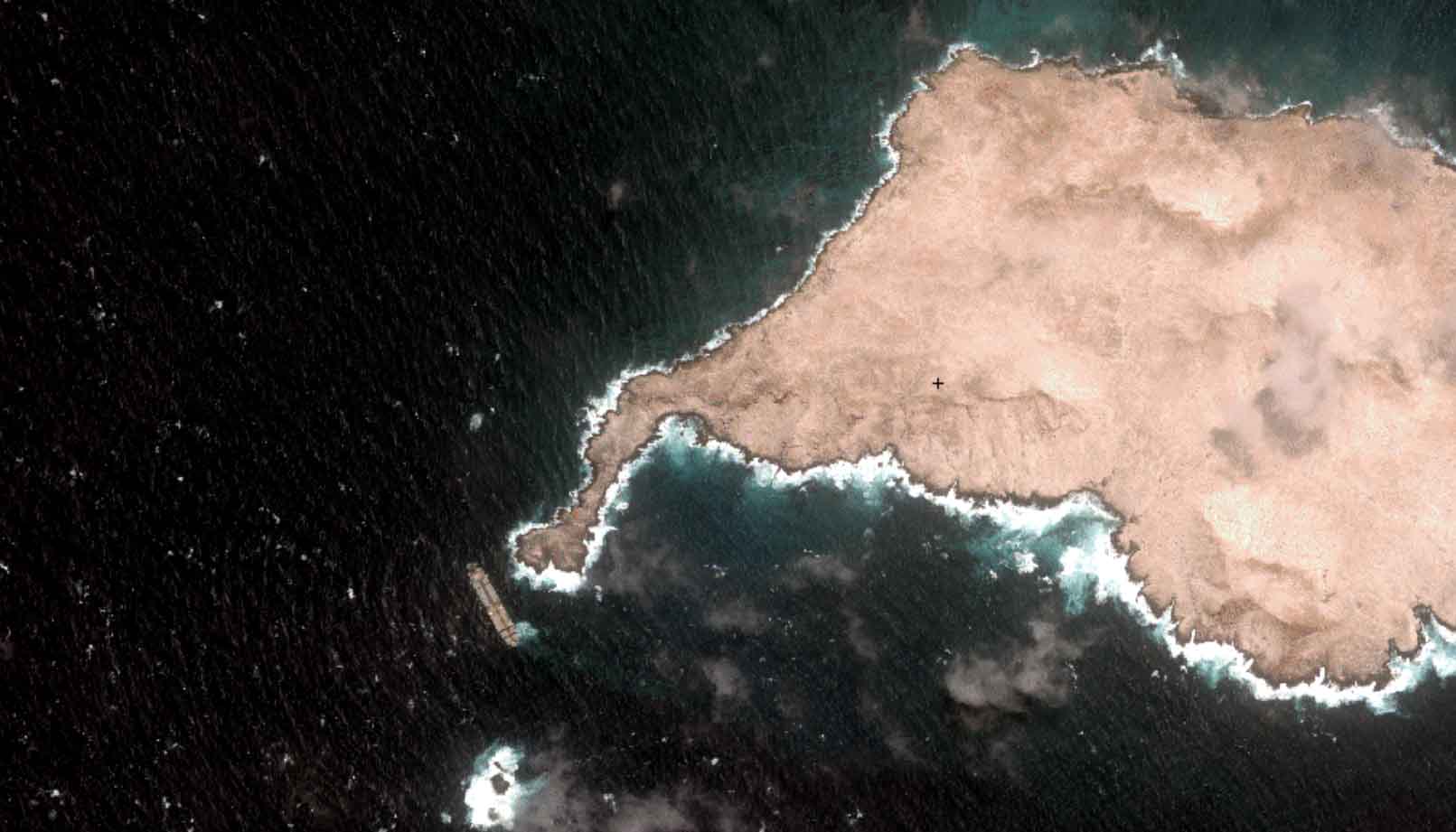
Oman Oil Spill: SDB Mapping of Critical Shallow Waters for Safe Salvage
Oil spill spanning hundreds of km² at the coast of Oman: Satellite-Derived Bathymetry (SDB) [...]

02 / 2026
WATCOR‑X Bathymetry Software for Navies and Hydrographic Offices
Bathymetric data is key for navies and hydrographic offices. They must navigate rising operational [...]

09 / 2024
EOMAP at the Hydrographic Conference 2024
"Towards Coastal Digital Twins" is our motto for the annual Hydrographic Conference from 5 [...]
08 / 2024
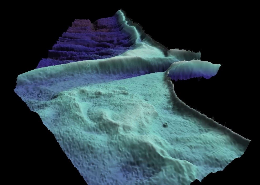
Beach Recovery in Florida – Conference Talk at ASBPA
August 2024 - Beach recovery is in the focus of EOMAP's talk at the [...]
06 / 2024
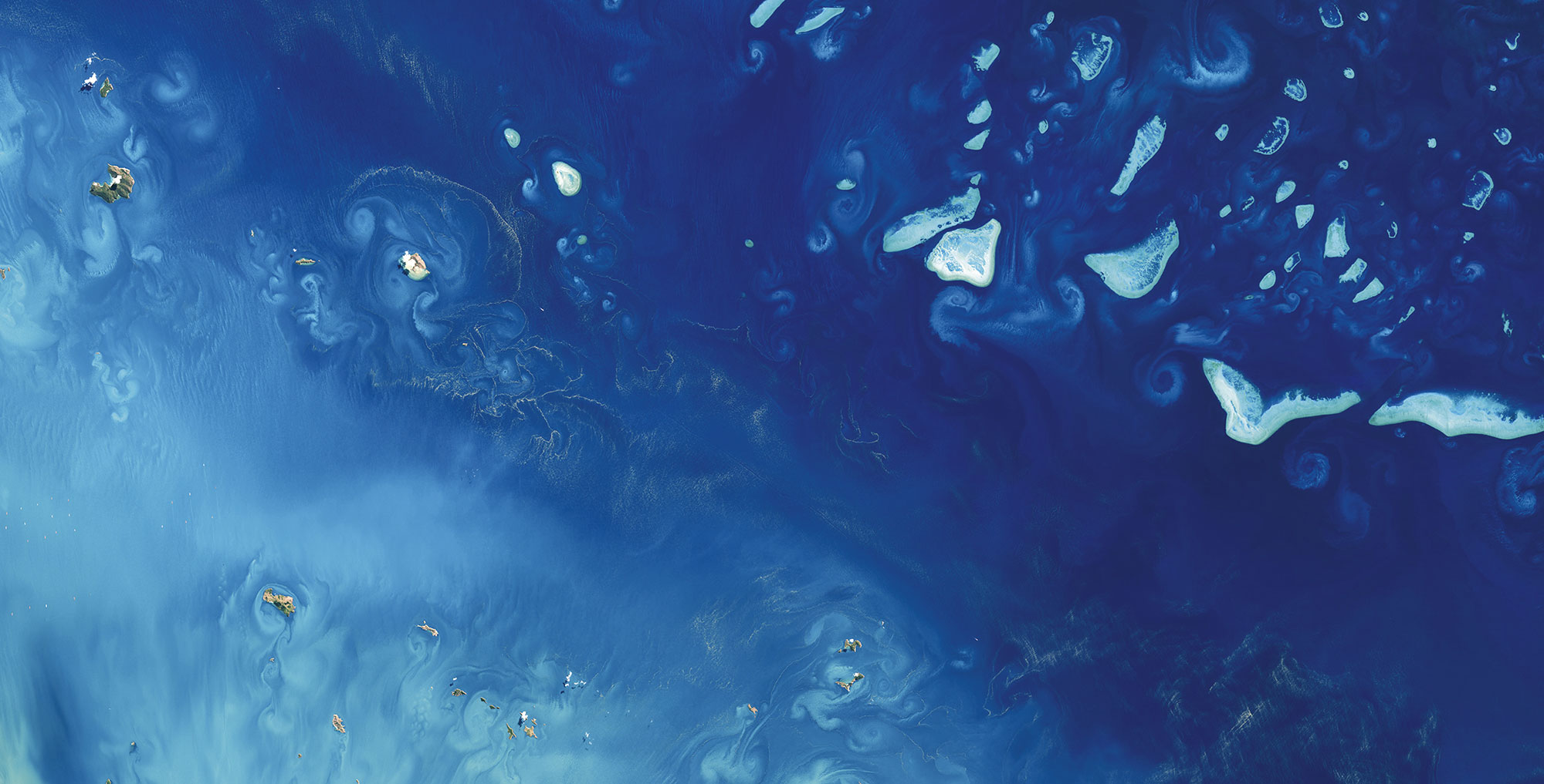
Interview with Stewart Dunne on World Hydrography Day 2024
Stewart Dunne - Former Hydrographer of Australia On occasion of World Hydrography Day 2024, [...]
06 / 2023
SDB-Online Revamp
The new interface of SDB-Online ... will be live as of 21st June, the World [...]
02 / 2022
New framework contract for Satellite-Derived Bathymetry between UKHO and EOMAP – press release
EOMAP awarded new survey contract by UKHO The UK Hydrographic Office (UKHO) have signed a [...]

0
international awards
EOMAP – A FUGRO COMPANY
EOMAP OFFICES
LINKS
Copyright 2026 EOMAP GmbH & Co. KG • Imprint • Privacy Policy • Cookie settings
