
“Towards Coastal Digital Twins” is our motto for the annual Hydrographic Conference from 5 – 7 November. This annual get together of the hydrographic community will be hosted in Rostock-Warnemünde, Germany.
Meet EOMAP at HYDRO 2024 in Rostock Warnemünde
Meet our experts on satellite-derived bathymetry and monitoring of coastal dynamics on occasion of the THE hydrography event. Hosted by the German Hydrographic Society (DHyG) and co-sponsored by EOMAP, HYDRO 2024 will provide new trends, challenges and technology for the hydrographic industry. Access the full conference programme here.
Feel welcome to talk to our team in Rostock to learn more, how we bridge the gap between science and market-ready solutions! – Let’s dive into these topics:
Technology, Innovations and Use Cases
📍State-of-the-art Satellite-Derived Bathymetry (SDB)
📍Understanding coastal morphology, dynamics, unveiling shoals
📍Demo tour of cloud processing solutions: SDB-Online and eoapp AQUA
📍Use cases from across the oceans and our contributions to EmoDnet Bathymetry or Seabed2030.
📍Solutions for coastal monitoring and impact assessment of natural hazards.
Meet our colleagues at
- Mona Reithmeier’s conference talk about “Mapping and monitoring the global coast” on 5th November (13:55), Auditorium A
- Fugro’s Session on “Multi-Scale Hydrographic and Ecosystem Mapping: Scaling Up the ISPRA Mediterranean Ecosystem Restoration (MER) Project”. Next to co-presenters from ISPRA, Fugro and PlanBlue, Kim Knauer will showcase, how satellite data on bathymetry and seagrass habitats plays into the integrated mapping solutions of this project – on 6 November at 10:45 am.
- Kim Knauer’s conference talk about “Satellites, the autonomous surveyors – rapid assessment of storm-induced impacts to coastlines” on 7th November (09:00), Auditorium A
- or visit the EOMAP booth #22 from 5 – 7 November!
Mona, Kim and Knut will gladly outline how satellite-based information on water depth, coastal changes, and water quality can enhance your work.
Contact
For further questions, please contact our coastal team via e-mail.

Latest EOMAP News

Reuters bases Mekong article on EOMAP data
The Development of EOMAP’s Water Quality Platform

UNESCO Water Quality Portal launched

Launching the world’s first comprehensive global water quality atlas with UNESCO

Oman Oil Spill: SDB Mapping of Critical Shallow Waters for Safe Salvage

eoapp DIVE unterstützt die Tauchplanung
Related Posts
08 / 2026
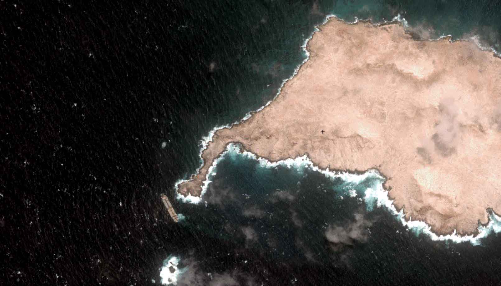
Oman Oil Spill: SDB Mapping of Critical Shallow Waters for Safe Salvage

07 / 2026
UKHO’s highest-ranked Satellite-Derived Bathymetry provider

06 / 2026
Mapping the ‘unmappable’ Great Barrier Reef
05 / 2026
Pioneering seagrass mapping at the Italian coastline in 2006

04 / 2026
Ningaloo Reef 2009: Hyperspectral Marine Habitat Mapping
04 / 2026
Environmental monitoring for sporting events

04 / 2026
20 Years EOMAP: Advancing Earth Observation

02 / 2026
WATCOR‑X Bathymetry Software for Navies and Hydrographic Offices
01 / 2026
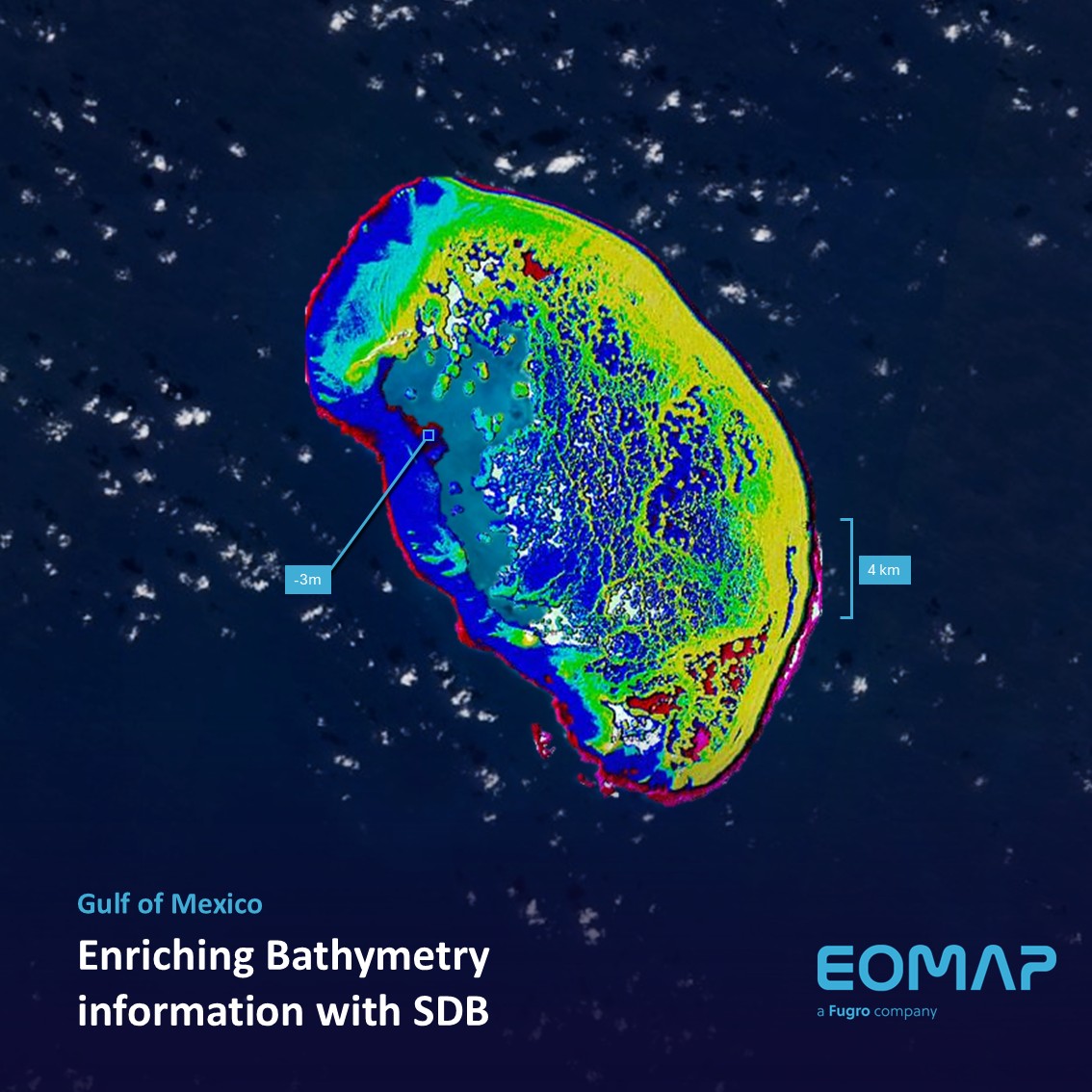
Bathymetry in the Gulf of Mexico
12 / 2025

