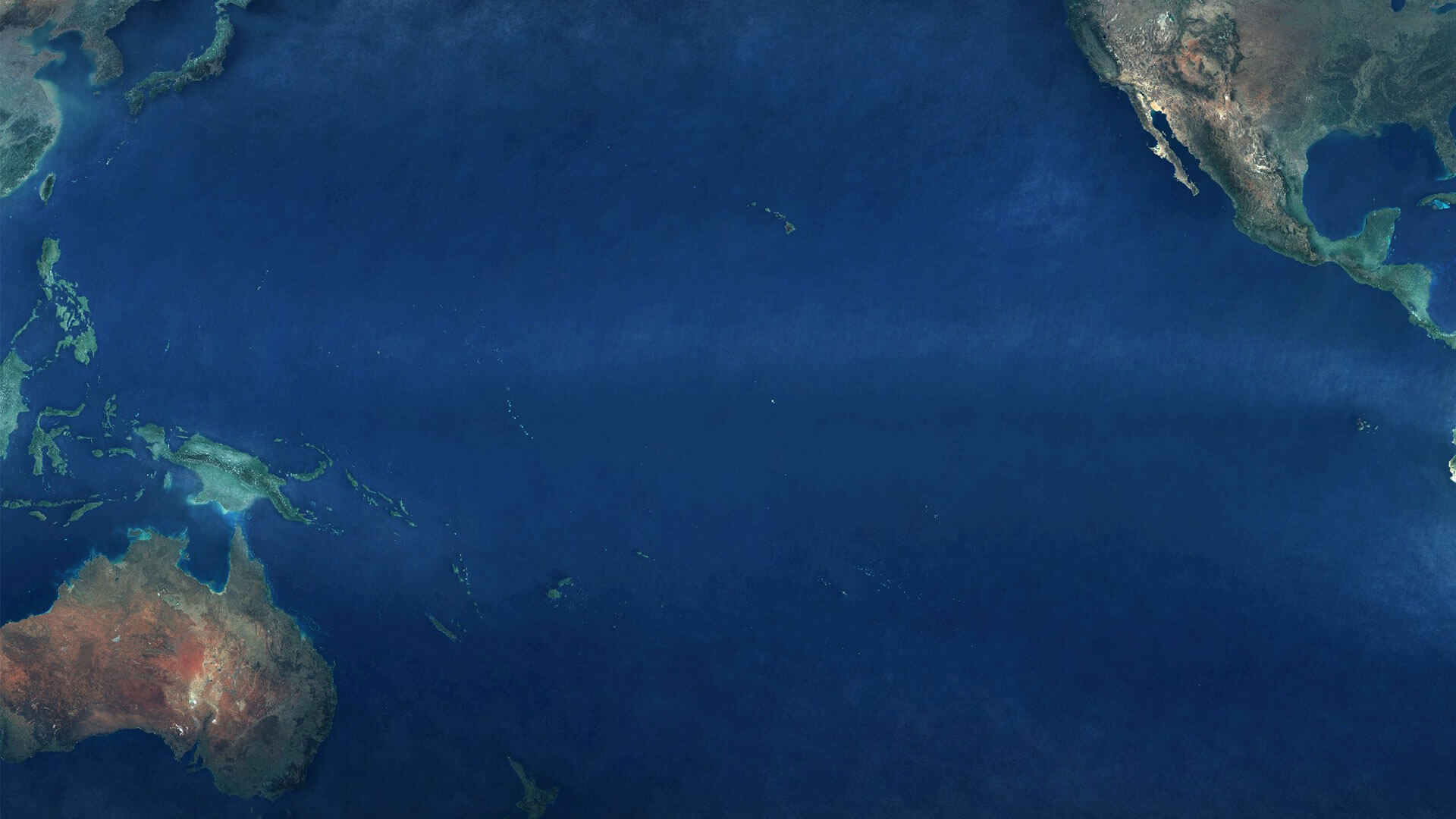
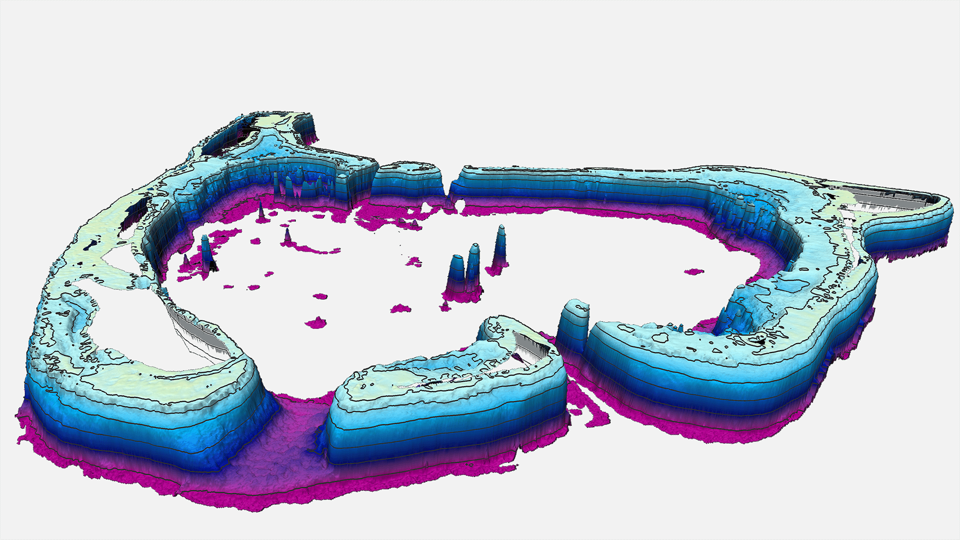
Category: Bathymetry | Ecosystem
Satellite-Derived Bathymetry of Pacific Islands Many island nations in the Pacific have one thing in common: They lack high resolution [...]
Category: Bathymetry | Hydrography | R&I
MarSat is a network of five private companies – EOMAP, Drift & Noise Polar Services GmbH, European Space Imaging GmbH [...]
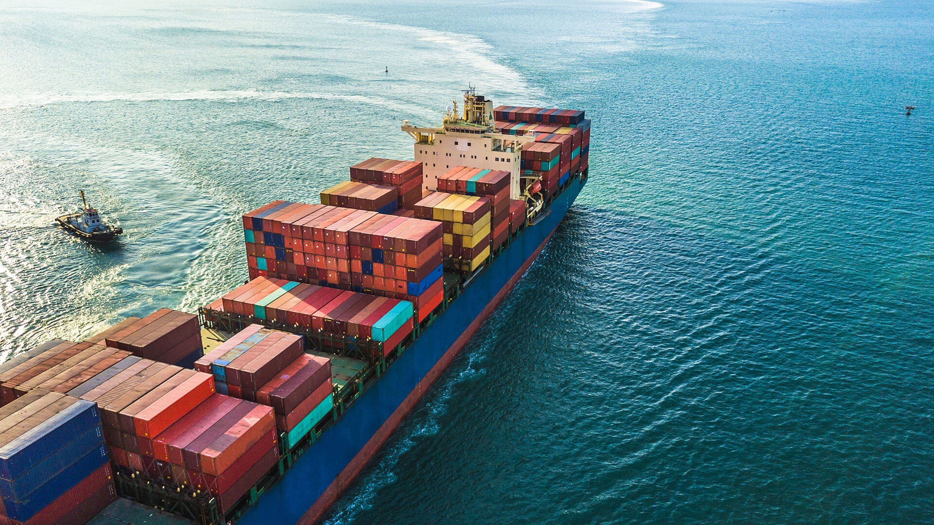
Category: Bathymetry | Ecosystem
Satellite surveying tool helps to improve ship navigation EOMAP has been awarded a contract for providing Satellite-Derived Bathymetry (SDB) for [...]

Category: Bathymetry | Capacity Building
Satellite-Derived Bathymetry Technology and User Forum Satellite-Derived Bathymetry (SDB) has experienced accelerating uptake in recent years, with users from industry, [...]
Category: Ecosystem | Land Use
In 2017, together with EOMAP, Navico, a leading supplier of digital navigation for the maritime market, launched a new semi-automated [...]
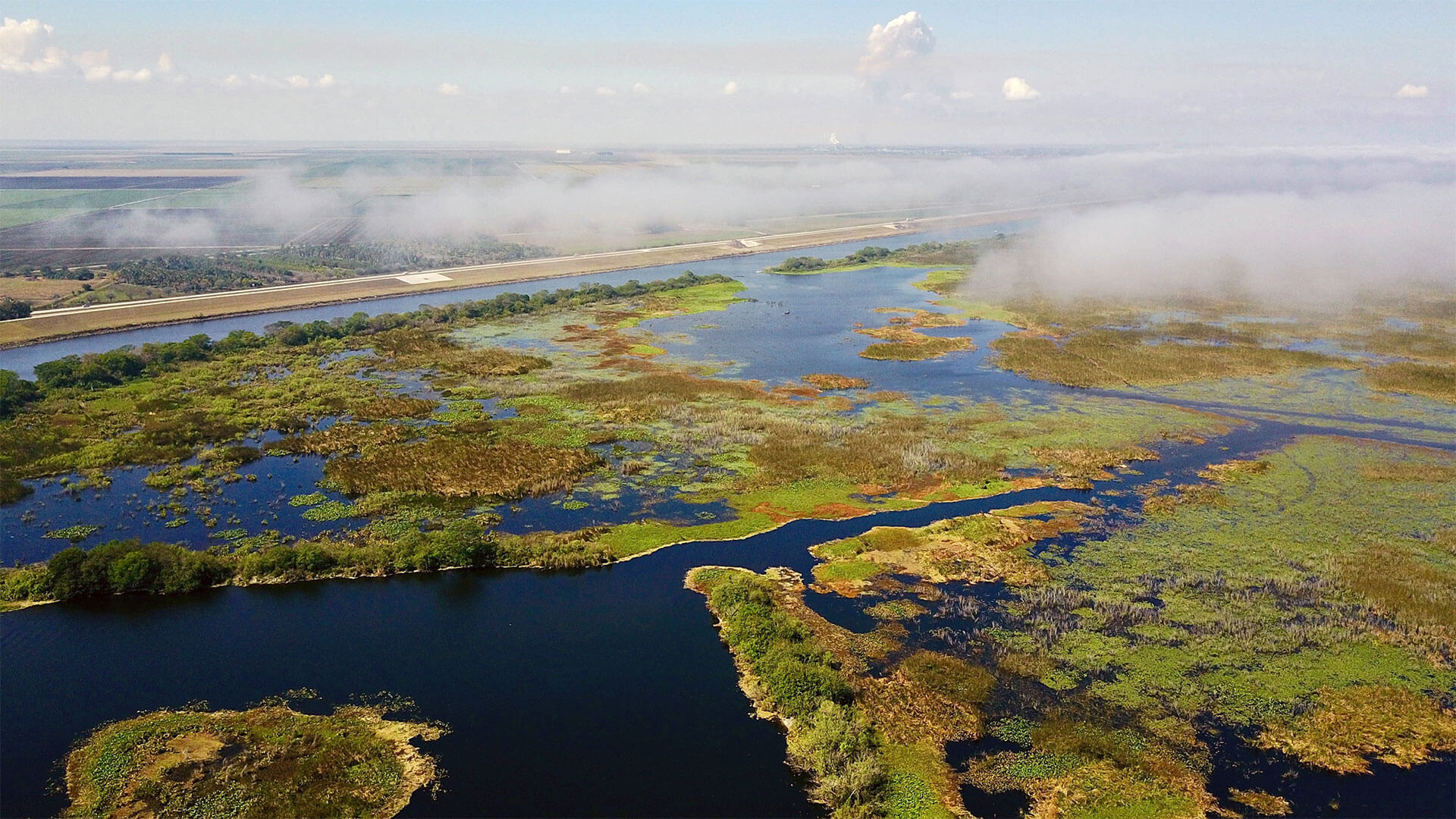
Category: R&I | Water Management | Water Quality
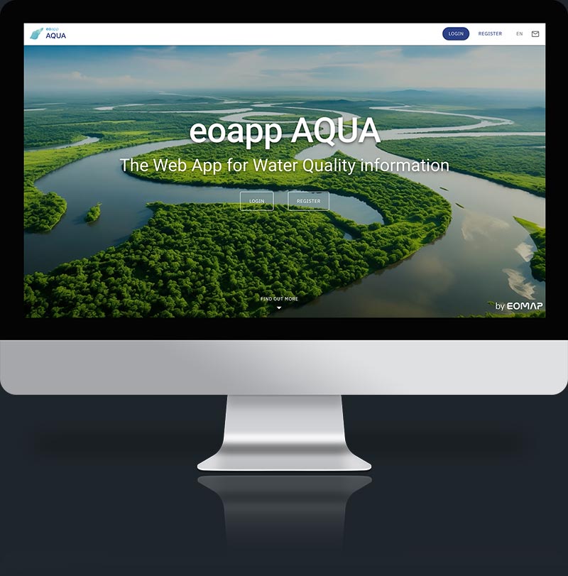
Space Assisted Water Quality Forecasting Platform for Optimized Decision Making in Water Supply Services In Europe, as in other parts [...]
Category: Capacity Building | Water Quality
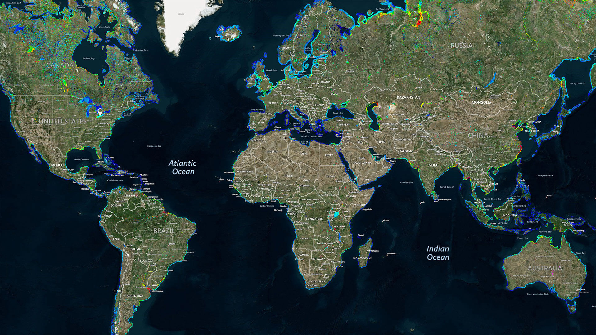
World’s first global water quality portal built to support UNESCO Program UNESCO, through its International Initiative on Water Quality (IIWQ) [...]
Category: Capacity Building | R&I | Water Quality
Satellite-derived Water Quality Data for Governmental Use Under the EU Water Framework Directive (EU WFD) environmental agencies are obliged to [...]


0
international awards
EOMAP – A FUGRO COMPANY
EOMAP OFFICES
LINKS
Copyright 2026 EOMAP GmbH & Co. KG • Imprint • Privacy Policy • Cookie settings