
Category: Bathymetry | Capacity Building | Hydrography | R&I
4S stands for “Satellite Seafloor Software Suite”, an innovation project co-funded by EU Horizon Europe. Under the lead of [...]
Category: Bathymetry | Coastal Management | Hydrography
Very-High Resolution Satellite-Derived Bathymetry Survey EOMAP Australia, together with project partner iXsurvey, have been contracted by Land Information New [...]
Category: Bathymetry | Capacity Building | Hydrography
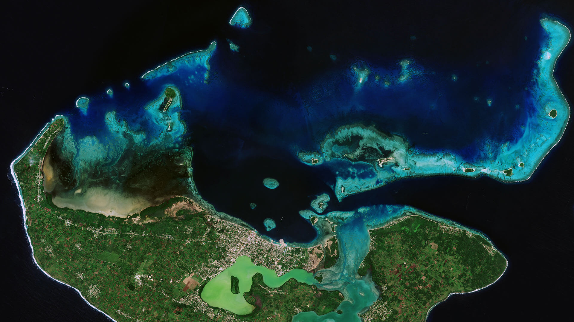
Satellite-Derived Bathymetry for European Coastal Waters EOMAP provides current high-resolution Satellite-Derived Bathymetry (SDB) for EMODnet Bathymetry, a consortium of 41 [...]
Category: Bathymetry | Hydrography | R&I
MarSat is a network of five private companies – EOMAP, Drift & Noise Polar Services GmbH, European Space Imaging GmbH [...]


0
international awards
EOMAP – A FUGRO COMPANY
EOMAP OFFICES
LINKS
Copyright 2026 EOMAP GmbH & Co. KG • Imprint • Privacy Policy • Cookie settings