
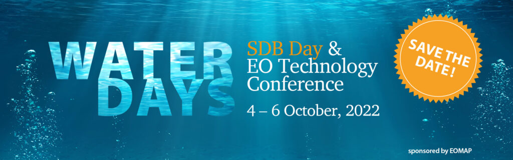
Get connected with international experts on satellite-derived information on aquatic environments.
Water Days ’22
SDB Day and EO Technology Conference
Water is our source of life. Just like aquatic environments, the field of earth observation (EO) is very dynamic. More and new satellite sensors, more data, new software tools, more user needs, …- It’s high time to meet and catch up with all the developments in the field of aquatic EO.
From 4 to 6 October 2022, the Water Days – an international conference – will focus on key innovations and applications of satellite-derived information on aquatic environment across the globe. The 3-days-conference will include the 4th SDB Day, a renowned technology and user forum on Satellite-Derived Bathymetry (SDB).
Both the number and quality of satellite sensors keep increasing dramatically. This results in „Big Data“ and calls for smart processing technology in order to turn the data into actionable information. During the Water Days, we shall discuss key issues on capabilities, quality standards and data integration for aquatic earth observation.
The conference will include keynotes, technical presentations, panels and workshops. In addition, you will have the opportunity to meet and exchange with international experts on an informal level during lunch and coffee breaks as well as at the evening event on October, 4th.
Find more details and register at: www.waterdays.org
Latest EOMAP News

Reuters bases Mekong article on EOMAP data

YellowScan integrates EOMAP’s services into LiDAR mapping solution

So machen Tourismusregionen saubere Gewässer sichtbar

Blaualgen per Satellit: Jede Badestelle im Blick
The Development of EOMAP’s Water Quality Platform

Launching the world’s first comprehensive global water quality atlas with UNESCO
Related Posts
10 / 2026
YellowScan integrates EOMAP’s services into LiDAR mapping solution
10 / 2026
So machen Tourismusregionen saubere Gewässer sichtbar
09 / 2026
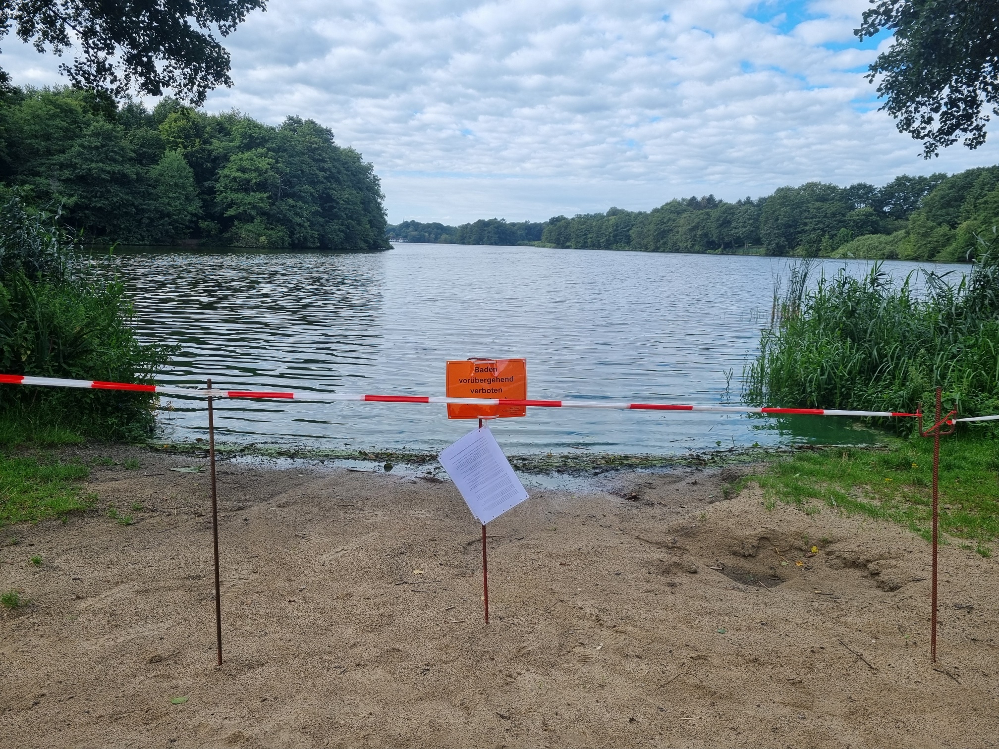
Blaualgen per Satellit: Jede Badestelle im Blick
09 / 2026
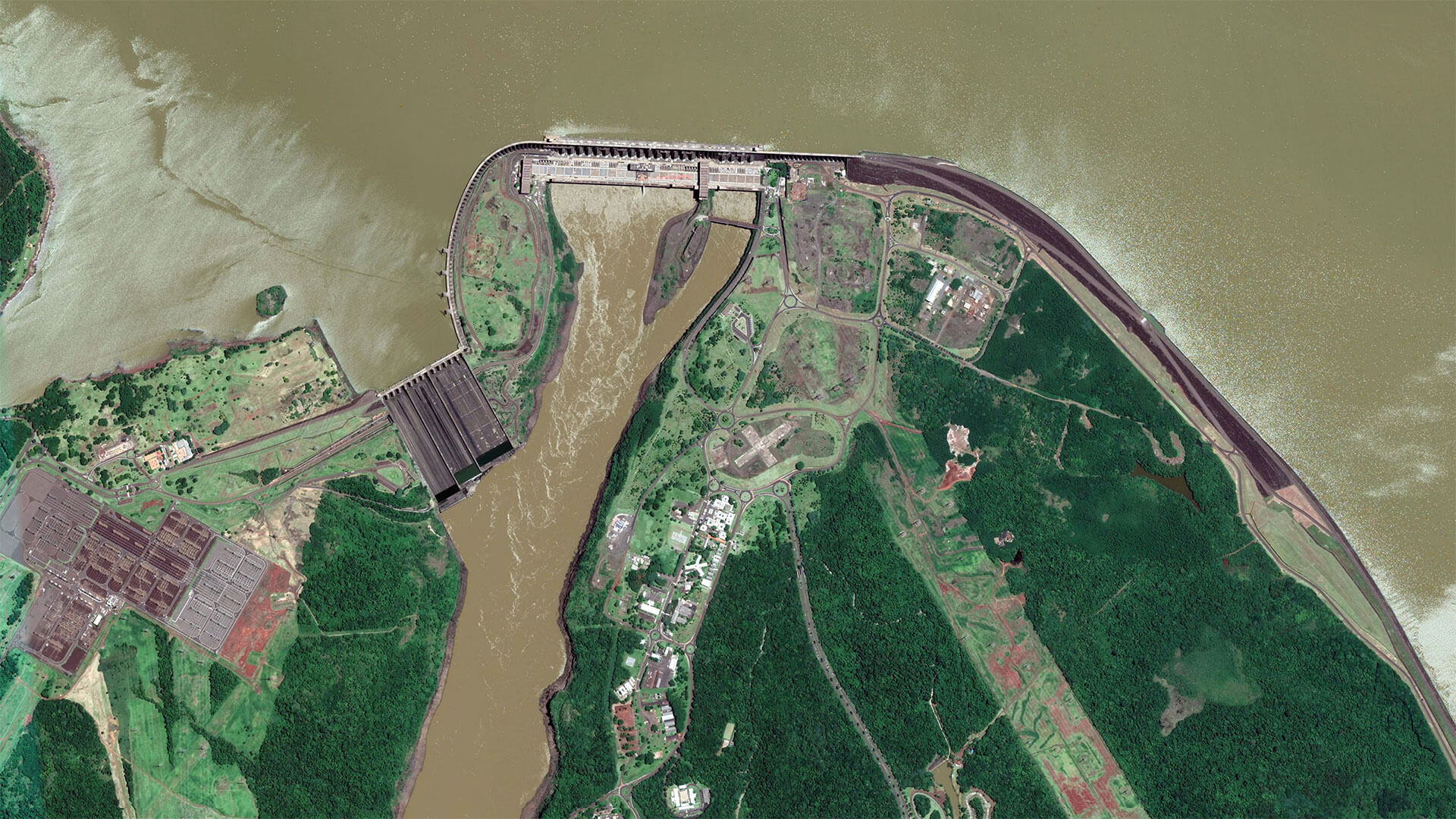
The Development of EOMAP’s Water Quality Platform

08 / 2026
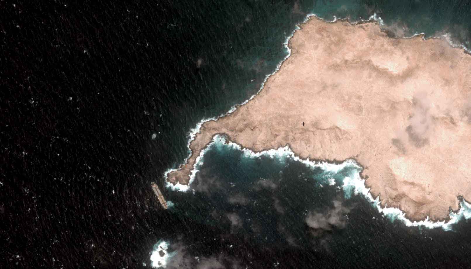
Launching the world’s first comprehensive global water quality atlas with UNESCO
08 / 2026
Oman Oil Spill: SDB Mapping of Critical Shallow Waters for Safe Salvage

08 / 2026
eoapp DIVE unterstützt die Tauchplanung

07 / 2026
UKHO’s highest-ranked Satellite-Derived Bathymetry provider

06 / 2026
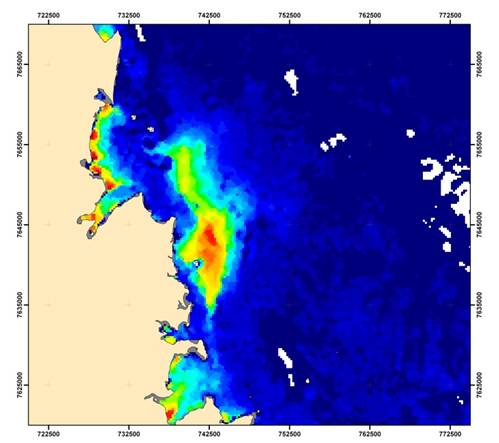
Mapping the ‘unmappable’ Great Barrier Reef
06 / 2026

