
EOMAP services included in large Planet contract
Planet Labs Germany has signed a contract with federal German authorities. In addition to access to Planet data products and platforms, the agreement also covers EOMAP water quality monitoring services.
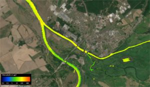
In order to clean up the fish kill in the Oder River, EOMAP analysed high-resolution satellite data of Planet. The image reveals the algae contribution from the Warthe, a tributary (right) on August 3 2022, c/ EOMAP / Planet
Planet Labs Germany GmbH, a leading provider of satellite data, has signed a seven-figure contract with the German Federal Ministry of the Interior and Community (BMI) and the German Federal Agency for Cartography and Geodesy (BKG). The contract covers a one year term and includes an option to renew for two more years.
The deal includes a fixed rate of all of Planet’s data products over Germany, including insights from Planetary Variables, water monitoring services from Planet’s partner EOMAP and access to Planet’s Insights Platform. This data will inform a variety of use cases. These include monitoring water, forests, agriculture, socio-economics, and land-use. In this context, it will support federal monitoring campaigns and environmental assessments.
Read Planet’s full press release here.
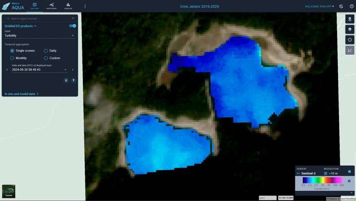
EOMAP is already cooperating with several German environmental agencies to support a visualisation and early warning system for water bodies – for example through eoapp AQUA.
Latest EOMAP News

Reuters bases Mekong article on EOMAP data

Oman Oil Spill: SDB Mapping of Critical Shallow Waters for Safe Salvage

eoapp DIVE unterstützt die Tauchplanung

UKHO’s highest-ranked Satellite-Derived Bathymetry provider in 2015

Mapping the ‘unmappable’ Great Barrier Reef

Dredge plume monitoring using satellite-based turbidity mapping
Related Posts

08 / 2026
eoapp DIVE unterstützt die Tauchplanung
06 / 2026
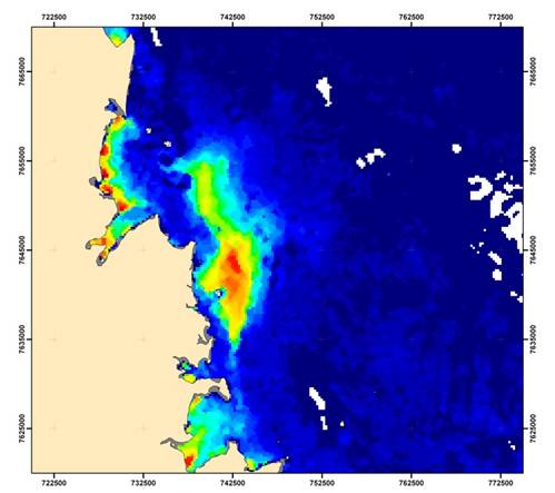
Dredge plume monitoring using satellite-based turbidity mapping
04 / 2026
Advocating for Healthy Mountain Ecosystems
04 / 2026
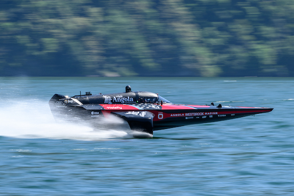
Environmental monitoring for sporting events

04 / 2026
20 Years EOMAP: Advancing Earth Observation
03 / 2026
New BD & Sales Manager for the Americas
03 / 2026
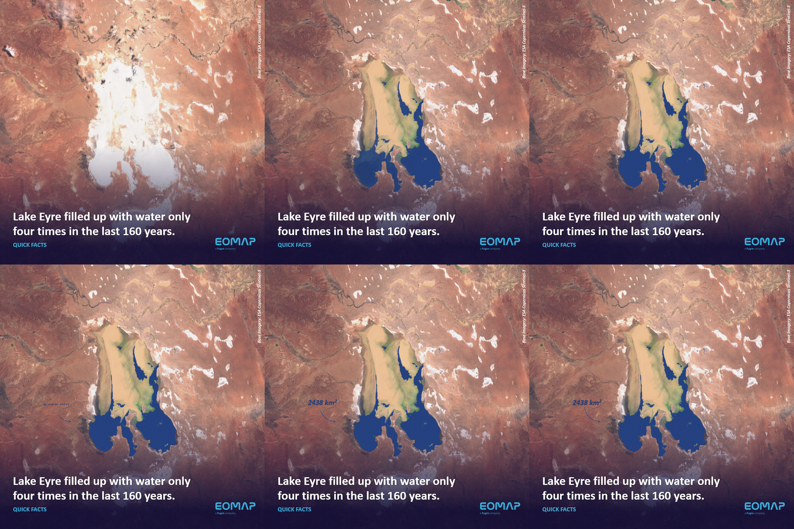
Quick Facts: Lake Eyre
02 / 2026
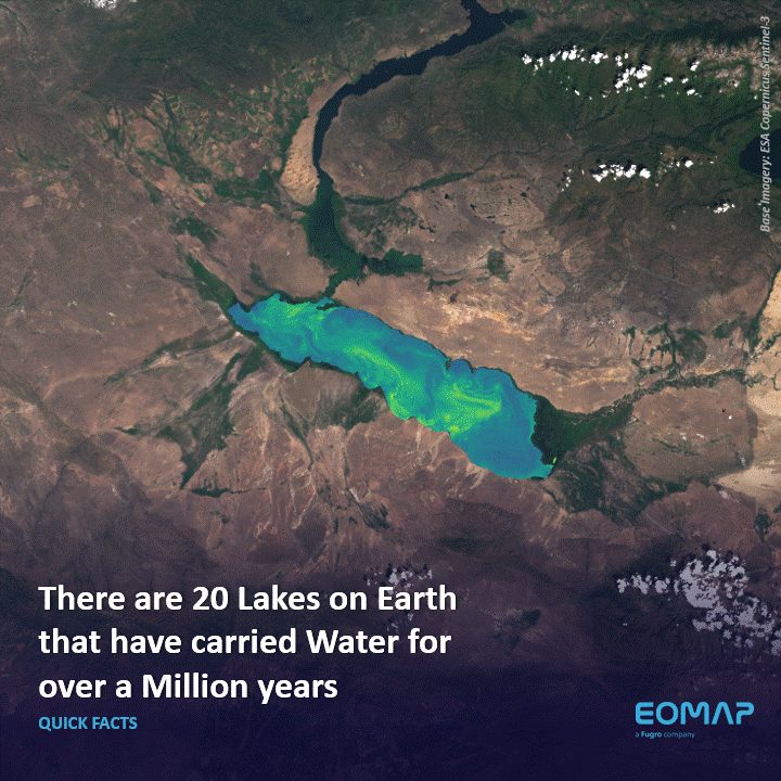
Quick Facts: Ancient Lakes
01 / 2026
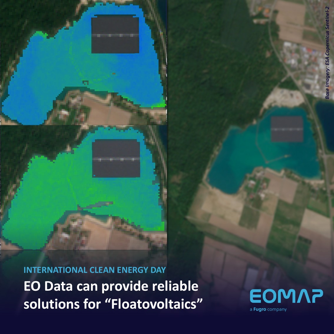
Space-based Intelligence for Clean Energy
01 / 2026

