
Welcome to our ‘Quick Facts’ series! In this new series, we are spotlighting remarkable places on our planet while deepening our understanding of aquatic ecosystems. This time, we’ll focus on lake Eyre.
Ephemeral lakes are temporary water bodies with very dynamic water levels influenced by inflows, precipitation, and evaporation. They appear only when the conditions are right.
Kati Thanda’s transformation after rare rains
Lake Eyre also known as Kati Thanda is one such endorheic basin with Flood‑to‑Dry Cycle and according to Guiness book of world records, the largest ephemeral lake. Most years, Kati Thanda lies as a vast, gleaming salt pan, the lowest natural point on the Australian continent at about 15 meters below sea level. But during rare periods of heavy rainfall in its distant catchments, it transforms into a shimmering inland sea.
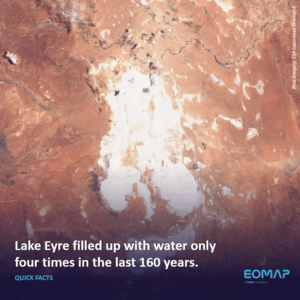
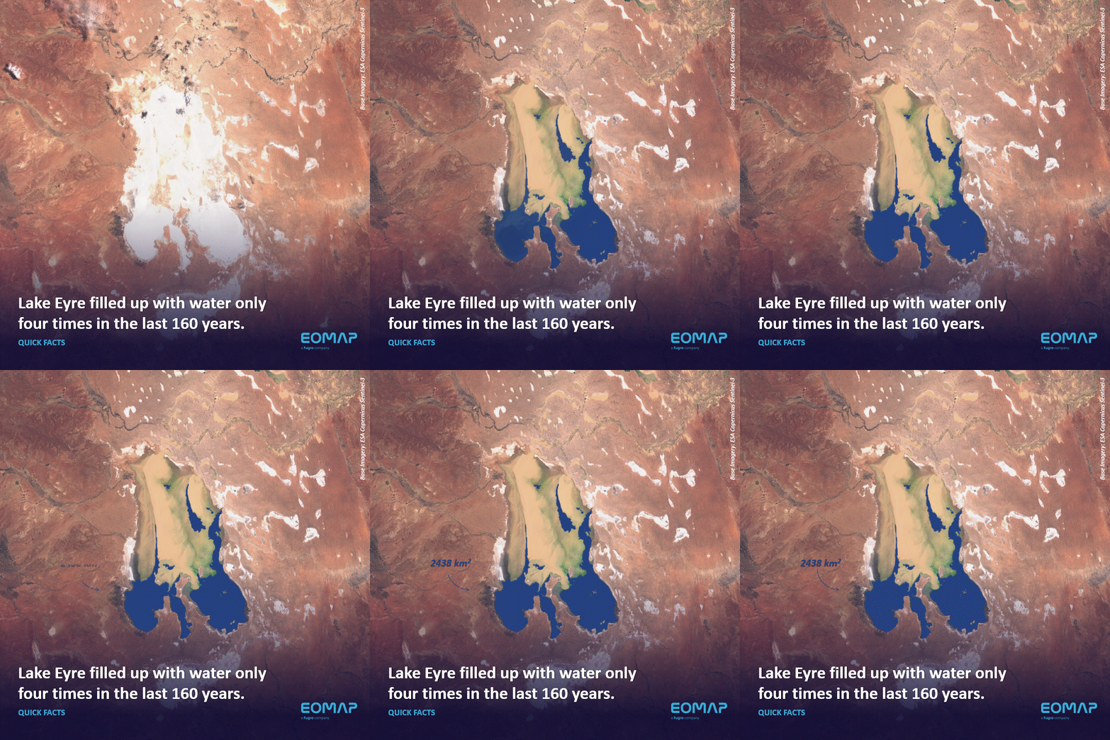
Water Extent calculated by EOMAP using Copernicus Sentinel-3 imagery.
Heavy rains in Queensland in early 2025 sent major inflows toward the basin leading to one of the more significant flood events of the 21st century, though not filling up the lake completely.
The image below the Water Extent of 2438 km2 calculated by EOMAP using Copernicus Sentinel-3 imagery.
Let’s connect
Learn more about integrated water quality monitoring here.
For hands-on insights on your lake, please contact the water quality team.
Latest EOMAP News

Reuters bases Mekong article on EOMAP data
The Development of EOMAP’s Water Quality Platform

UNESCO Water Quality Portal launched

Launching the world’s first comprehensive global water quality atlas with UNESCO

Oman Oil Spill: SDB Mapping of Critical Shallow Waters for Safe Salvage

eoapp DIVE unterstützt die Tauchplanung
Related Posts
09 / 2026
The Development of EOMAP’s Water Quality Platform
09 / 2026
UNESCO Water Quality Portal launched

08 / 2026
Launching the world’s first comprehensive global water quality atlas with UNESCO

08 / 2026
eoapp DIVE unterstützt die Tauchplanung
06 / 2026
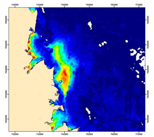
Dredge plume monitoring using satellite-based turbidity mapping
04 / 2026
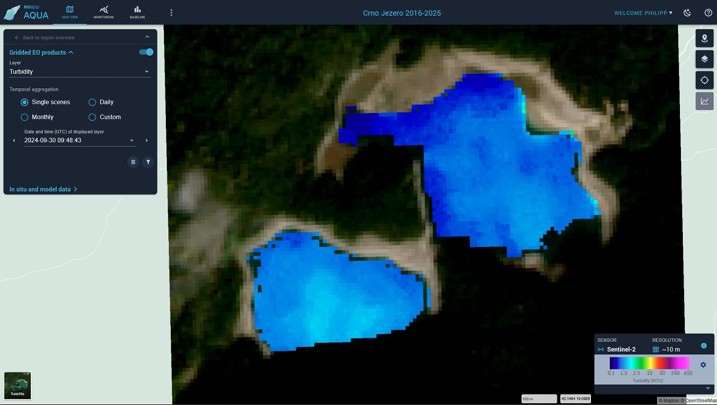
Advocating for Healthy Mountain Ecosystems
04 / 2026
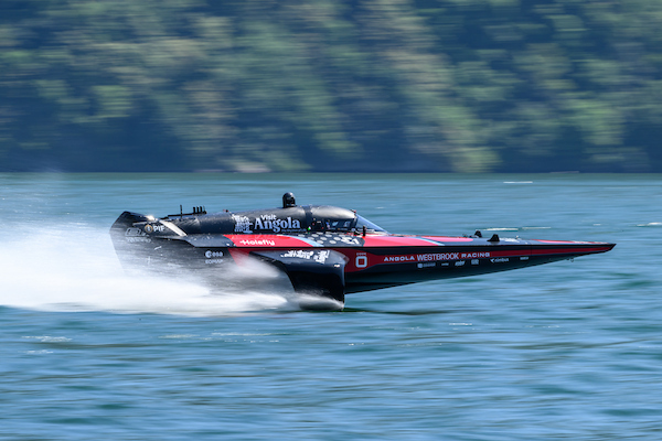
Environmental monitoring for sporting events

04 / 2026
20 Years EOMAP: Advancing Earth Observation

03 / 2026
New BD & Sales Manager for the Americas
02 / 2026

