
FRESHMON Project successfully finished
On 30th November, the FRESHMON project ended officially after three years lifetime.
These three years of intense collaboration has left some marks, some further age creases, together with increased knowledge and capabilities, strengthened partnerships and relations between an international team of companies and agencies. However, the end is usually just a new starting point and collaboration with many of the partners and users involved will continue in the frame of other projects and contracts.
We would like to thank all persons involved very much for their efforts, ongoing support and we wish all the best for further collaborations.
Latest EOMAP News

Reuters bases Mekong article on EOMAP data

Oman Oil Spill: SDB Mapping of Critical Shallow Waters for Safe Salvage

eoapp DIVE unterstützt die Tauchplanung

UKHO’s highest-ranked Satellite-Derived Bathymetry provider

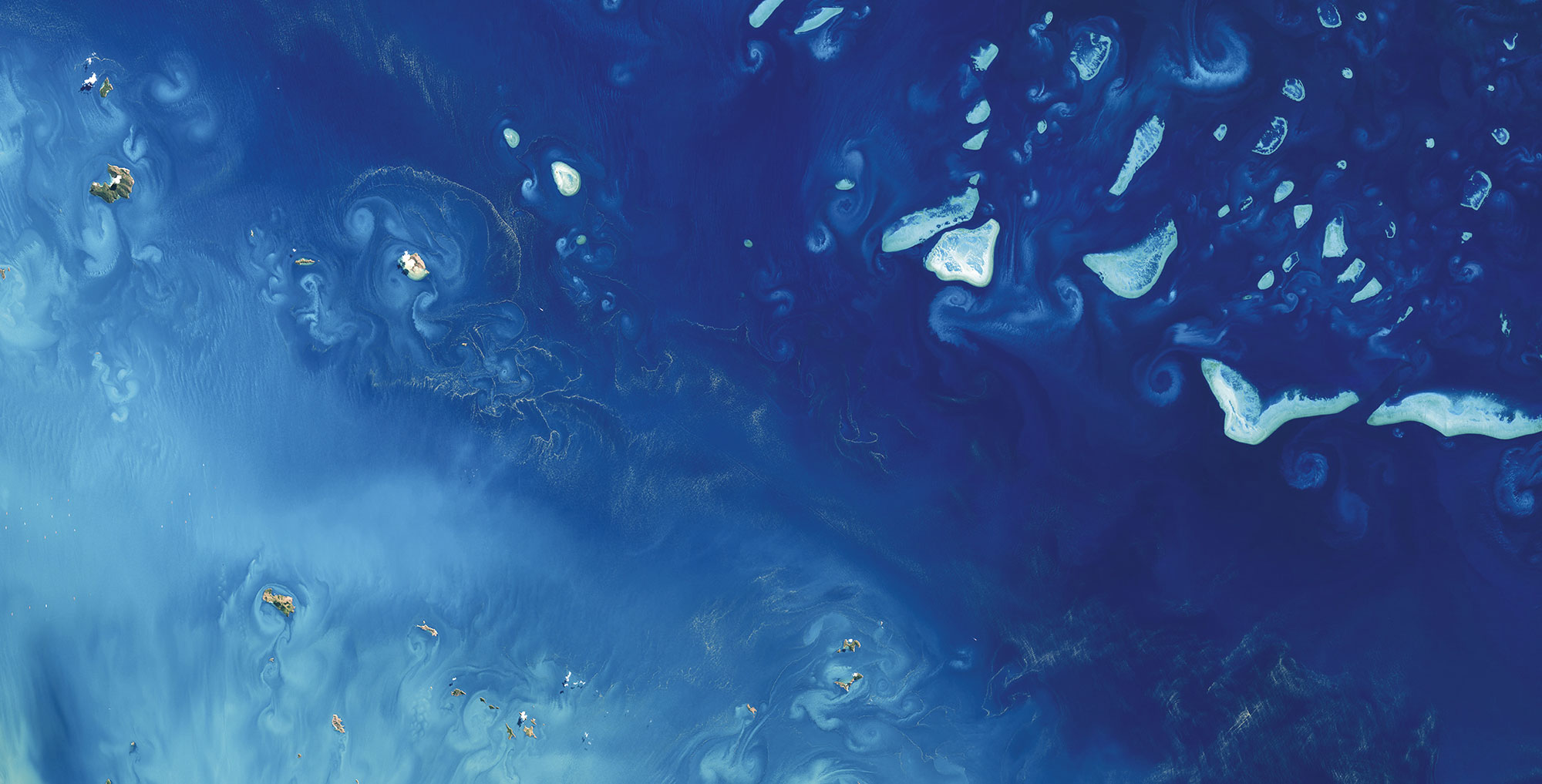
Mapping the ‘unmappable’ Great Barrier Reef

Dredge plume monitoring using satellite-based turbidity mapping
Related Posts

08 / 2026
eoapp DIVE unterstützt die Tauchplanung

06 / 2026
Mapping the ‘unmappable’ Great Barrier Reef
06 / 2026
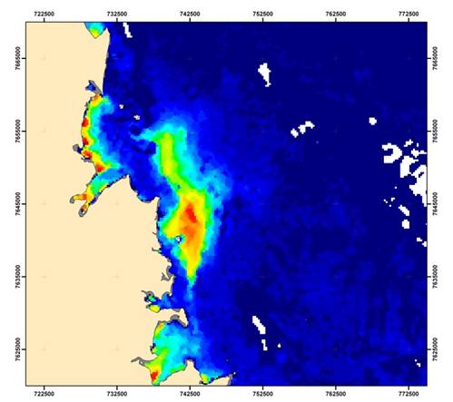
Dredge plume monitoring using satellite-based turbidity mapping

04 / 2026
Ningaloo Reef 2009: Hyperspectral Marine Habitat Mapping
04 / 2026
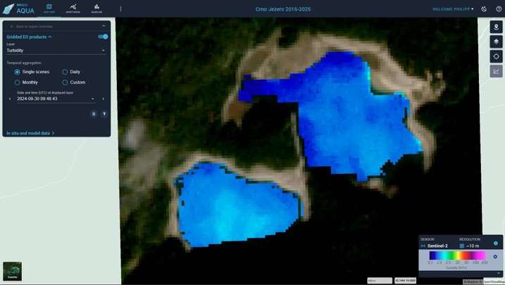
Advocating for Healthy Mountain Ecosystems
04 / 2026
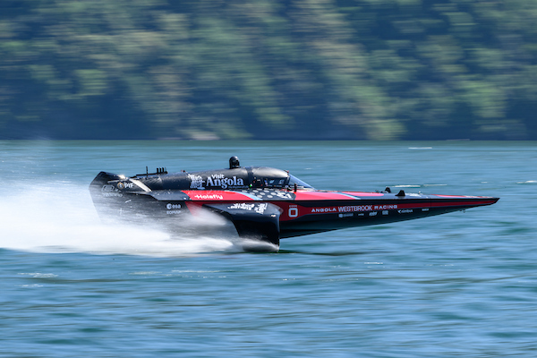
Environmental monitoring for sporting events

04 / 2026
20 Years EOMAP: Advancing Earth Observation
03 / 2026
New BD & Sales Manager for the Americas
03 / 2026
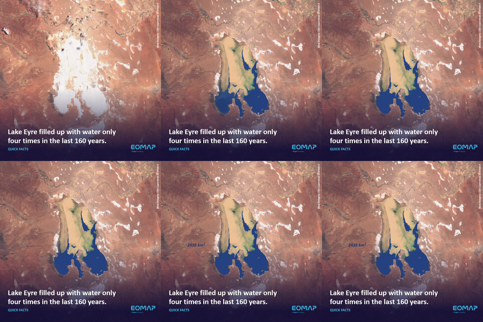
Quick Facts: Lake Eyre
02 / 2026

