
Using Satellite Data in Early-Warning and Detection: EOMAP partner in newly EU funded HazRunOff project
HazRunOff consortium, an EU funded project, will focus on civil and public health impacts in rivers, transitional waters and neighbourhood regions, and also on relevant acute environmental damages. HazRunOff’s main goal is to integrate sensing and modelling technologies for early warning and detection and follow-up of hazmat and flood hazards in transitional and coastal waters.
HazRunOff is a consortium of seven entities from five different countries including universities, SME’s, public institutes, and municipal civil protection. The project which officially started in January 2018, is coordinated by INSTITUTO SUPERIOR TECNICO (IST), Portugal. The kick-off meeting is held from 27 February – 1 March 2018 in Lisbon, Portugal and is marking the starting point of this two- year project.
Within HazRunOff, EOMAP – also participating in research projects like MarSat and Space-O – will be responsible for remote sensing for early warning and model validation, focusing on turbidity, oil spill detection and experimental detection of chemical components.
Karin Schenk, EU project manager at EOMAP: “HazRunOff is an ambitious project. The use of satellite data and Earth Observation products in the early-warning and detection industry has enormous potential. We are looking forward to working together with our new European partners.”
Project partners include INSTITUTO SUPERIOR TECNICO, Portugal, ACTION MODULERS – CONSULTING & TECHNOLOGY, LDA, Portugal, CENTRO TECNOLOGICO DEL MAR – FUNDACION CETMAR, Spain, EOMAP GMBH & CO KG, Germany, CEDRE, France, DEPARTMENT OF HEALTH, United Kingdom, Câmara MUNICIPAL DE LOURES, Portugal.
More information on the project will follow soon.

Latest EOMAP News

Reuters bases Mekong article on EOMAP data

UNESCO Water Quality Portal launched

Launching the world’s first comprehensive global water quality atlas with UNESCO

Oman Oil Spill: SDB Mapping of Critical Shallow Waters for Safe Salvage

eoapp DIVE unterstützt die Tauchplanung

UKHO’s highest-ranked Satellite-Derived Bathymetry provider
Related Posts
09 / 2026
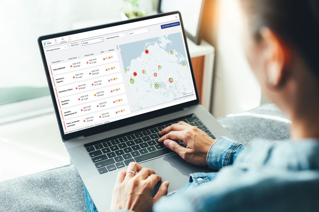
UNESCO Water Quality Portal launched

08 / 2026
Launching the world’s first comprehensive global water quality atlas with UNESCO

08 / 2026
eoapp DIVE unterstützt die Tauchplanung

06 / 2026
Mapping the ‘unmappable’ Great Barrier Reef
06 / 2026
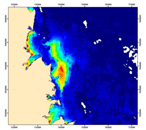
Dredge plume monitoring using satellite-based turbidity mapping

04 / 2026
Ningaloo Reef 2009: Hyperspectral Marine Habitat Mapping
04 / 2026
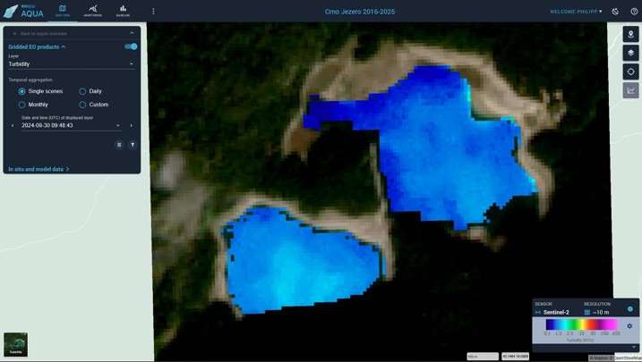
Advocating for Healthy Mountain Ecosystems
04 / 2026
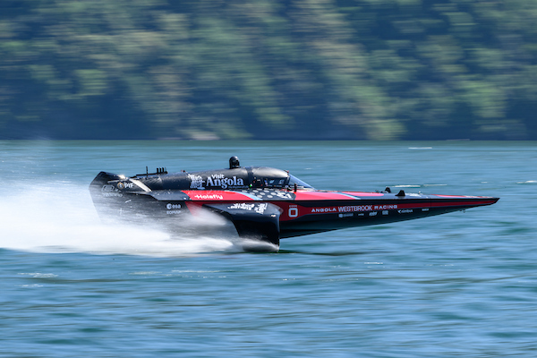
Environmental monitoring for sporting events

04 / 2026
20 Years EOMAP: Advancing Earth Observation

03 / 2026

