08 / 2023
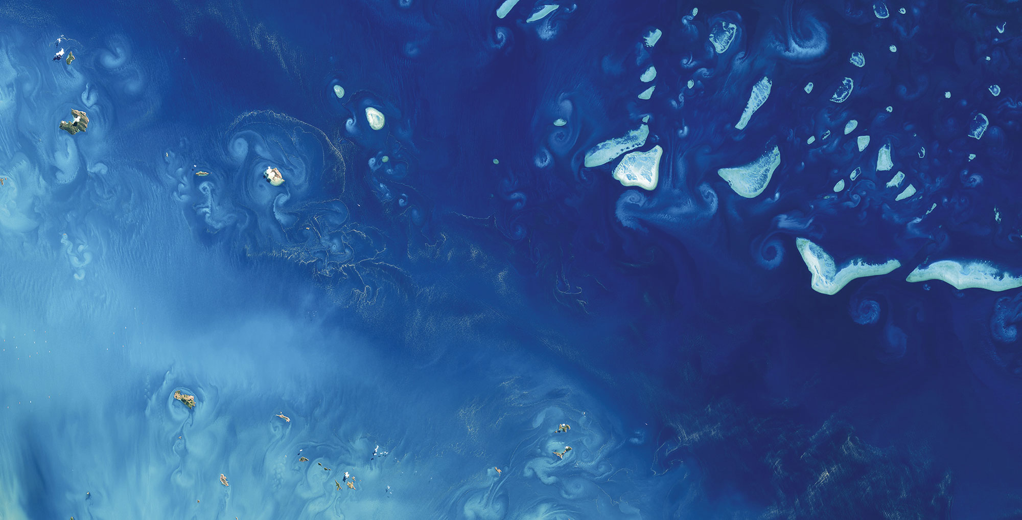
Ashmore and Cartier – Mapping Australian Marine Parks
SDB and seafloor data go public Ashmore and Cartier Island Marine Park maps of Satellite-Derived [...]
08 / 2023
Drone-derived mapping in Prerow
In August 2023, Fugro and EOMAP successfully conducted a joint drone survey mission in the [...]

07 / 2023
Déjà-vu on the Oder – Ensuring water quality on rivers
Press release 30 June 2023 Will there be more environmental disasters like the one on [...]
08 / 2022
European Award for HYPOS
HYPOS - an innovation project lead by EOMAP - has received the EARSC Partnership Award [...]

06 / 2022
Belize bathymetry delivered to UKHO
Belizean shallow waters from Space - The largest survey of its kind in the Caribbean [...]
09 / 2021
EOMAP is new partner to the Seabed 2030 project – press release
Shallow waters represent the most crucial aquatic zones on Earth. They are particularly difficult [...]

07 / 2018
Changing Perspectives on Water Quality Monitoring
Changing perspectives on water quality monitoring The rising number of pollutants entering our waterways are [...]

07 / 2018
Global Network for Satellite-Derived Bathymetry
Munich, 4 July 2018 - EOMAP has initiated the first international Satellite-Derived Bathymetry Day (SDB [...]

03 / 2018
EOMAP delivers Satellite Derived Bathymetry for European coastal waters
EOMAP appointed Satellite Derived Bathymetry provider for European Bathymetric Data Portal Seefeld, Germany, 8 March [...]

03 / 2018
EOMAP contracted by New Zealand Government for mapping Satellite Derived Bathymetry
Brisbane, Australia, February 2018 - EOMAP Australia, together with project partners IXBlue, have been contracted [...]

0
international awards
EOMAP – A FUGRO COMPANY
EOMAP OFFICES
LINKS
Copyright 2026 EOMAP GmbH & Co. KG • Imprint • Privacy Policy • Cookie settings