SDB and seafloor data go public
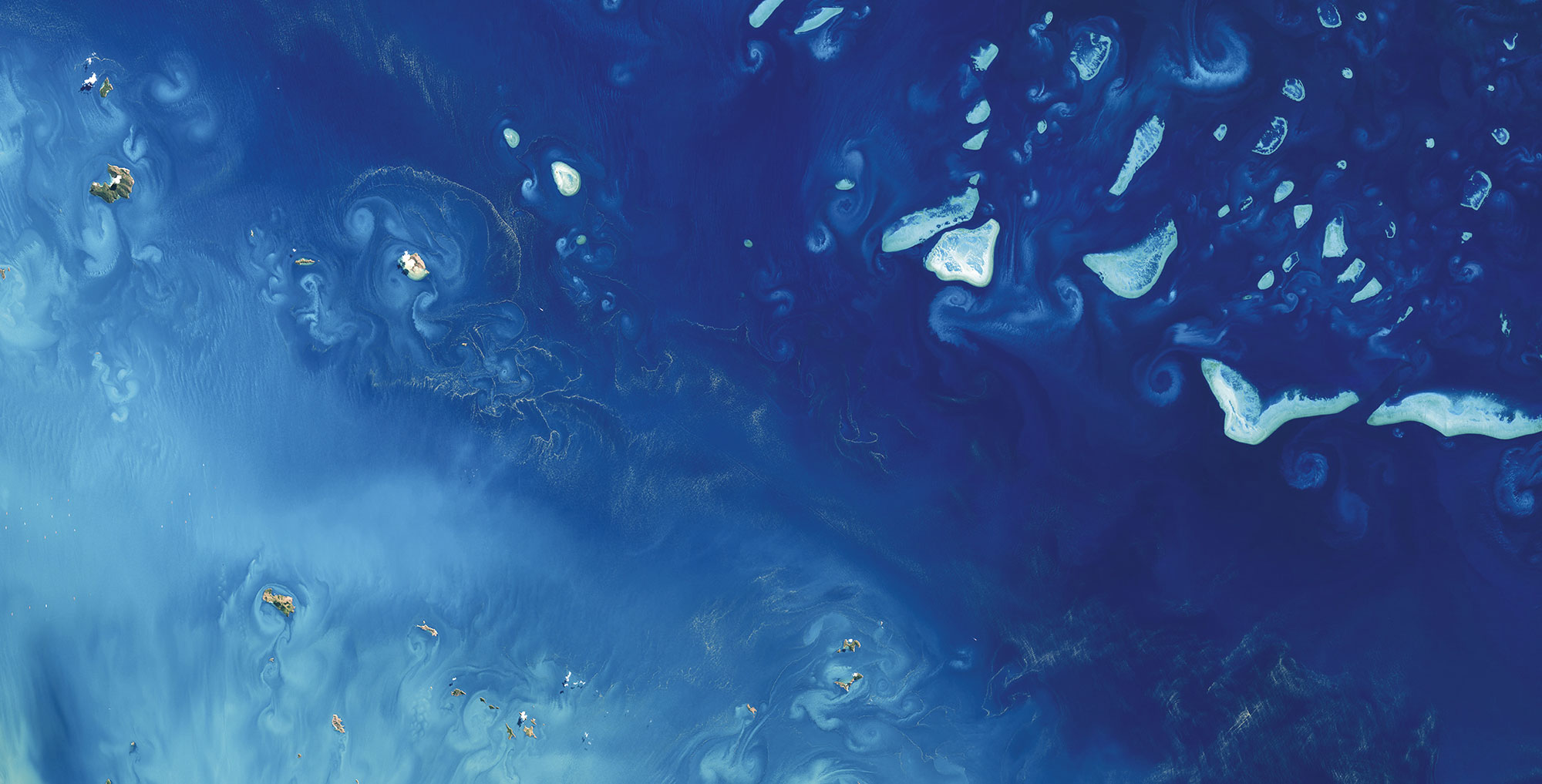
Ashmore and Cartier Island Marine Park maps of Satellite-Derived Bathymetry (SDB) and seafloor habitats, are now publicly available online.
Together with our Australian team, analysts at EOMAP Headquarter have provided information on shallow water bathymetry down to ~30m water depth (LAT). The teams used Maxar Technologies WorldView-3 satellite imagery (2m pixel size) and applied our physics-based sunlight inversion method. Reflectance (seafloor colour) and bathymetry were then used to run an object-based classification, where objects of similar spectral characteristics, shape and texture are grouped into different classes of seafloor coverage. We have classified habitats using the SEAMAP Australia and the National Intertidal Subtidal Benthic (NISB) classification schemes.
These datasets can now be downloaded from the IMAS catalogue and viewed on the SEAMAP Australia platform (included in the National Benthic Habitat Map and Western Australia layers). The bathymetry data will also be on the AusSeabed portal shortly! Future updates will include geomorphic layers and the final report due in the coming months.
We would like to thank Parks Australia for the opportunity to map these beautiful reefs. This Marine Parks Grants project received funding from the Australian Government. Also, a big thank you to CSIRO for providing field data for the project.
Please get in touch with Emily Twiggs from our Australian team, if you would like to know more about this project or consider satellite-derived mapping your own areas of interest.
Latest EOMAP News

Reuters bases Mekong article on EOMAP data

UKHO’s highest-ranked Satellite-Derived Bathymetry provider in 2015

Mapping the ‘unmappable’ Great Barrier Reef

Dredge plume monitoring using satellite-based turbidity mapping

Pioneering seagrass mapping at the Italian coastline in 2006

Mapping Ningaloo Reef 2009: A Breakthrough in Hyperspectral Marine Habitat Analysis
Related Posts

07 / 2026
UKHO’s highest-ranked Satellite-Derived Bathymetry provider in 2015

06 / 2026
Mapping the ‘unmappable’ Great Barrier Reef

05 / 2026
Pioneering seagrass mapping at the Italian coastline in 2006

04 / 2026
Mapping Ningaloo Reef 2009: A Breakthrough in Hyperspectral Marine Habitat Analysis

04 / 2026
20 Years EOMAP: Advancing Earth Observation

03 / 2026
New BD & Sales Manager for the Americas

02 / 2026
WATCOR‑X Bathymetry Software for Navies and Hydrographic Offices

01 / 2026
Bathymetry in the Gulf of Mexico

12 / 2025
From Climate to Nature and Biodiversity: Insights on COP30

11 / 2025
