
EOMAP appointed Satellite Derived Bathymetry provider for European Bathymetric Data Portal
Seefeld, Germany, 8 March 2018 – EOMAP announces today that it has successfully provided current high-resolution Satellite Derived Bathymetry for the European EMODnet Bathymetry. EMODnet Bathymetry is a consortium of 41 European hydrographic offices and oceanographic institutions, research centres and commercial data providers.
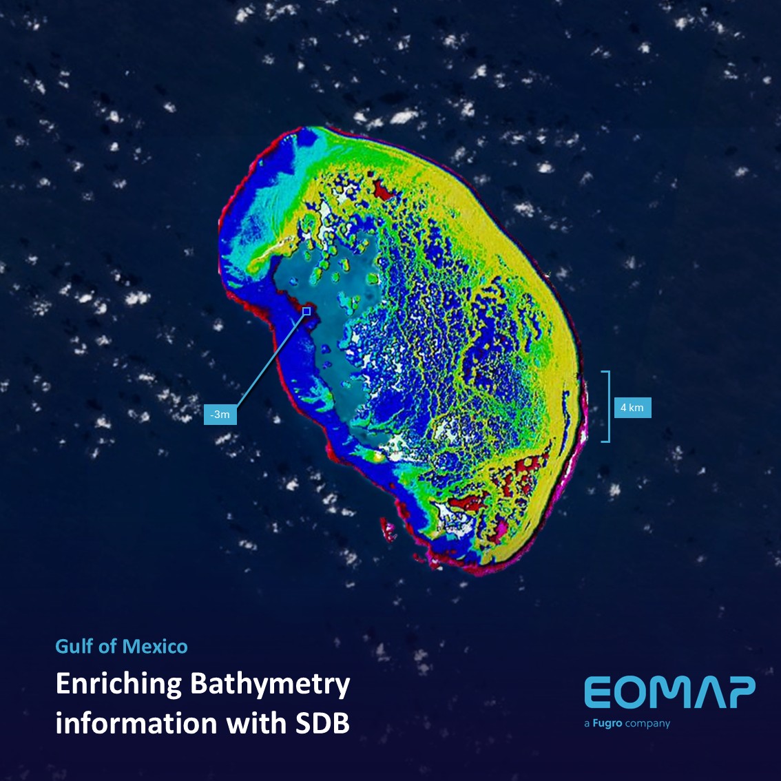
Up-to-date, high-resolution bathymetric data is increasingly important for a large number of applications, such as hydrodynamic modelling, sediment transport, cable routing, coastal planning, resource exploration and military and defence. The EMODnet Bathymetry portal offers access to high resolution sampled grid of bathymetric survey data and meta information provided by the network partners. These data are being harmonized and used to create a seamless European bathymetric grid.
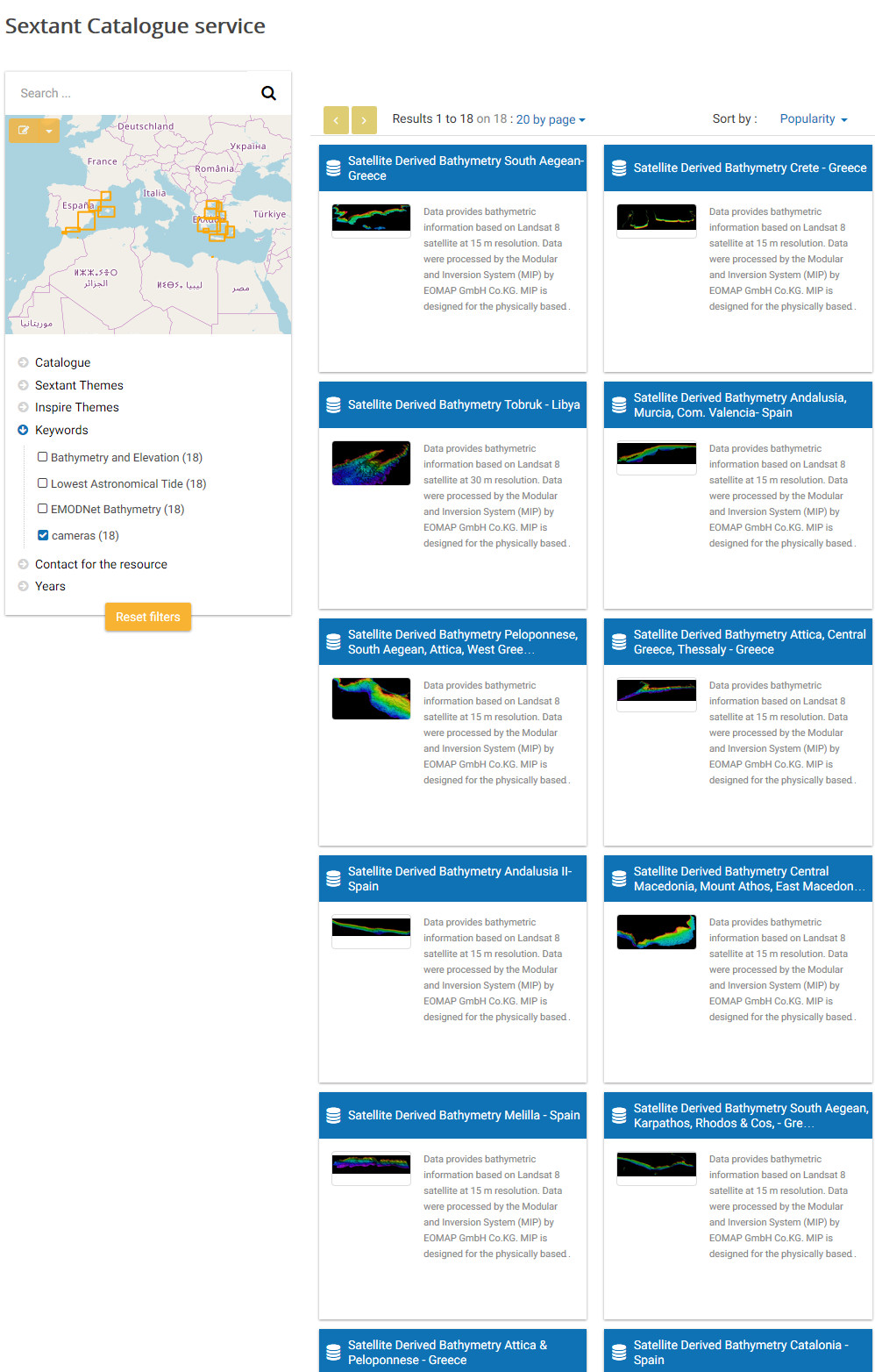
EMODnet Bathymetry online metadata catalogue highlighting the availability of shallow water bathymetry grid provided by EOMAP to EMODnet HRSM
“EOMAP as a key partner of EMODnet Bathymetry provides high-resolution satellite derived bathymetry for shallow water and supports our European wide bathymetric data grid in areas poorly, if not at all covered by conventional surveyed data. In previous releases these areas were interpolated with potentially high uncertainties. Now, with using Satellite Derived Bathymetry information, the Digital Terrain Model (DTM) product is constrained by physically derived data in these areas, providing much higher detail,” explains Thierry Schmitt, project coordinator at EMODnet Bathymetry.
EMODnet Bathymetry applies SeaDataNet standards and services for discovery and access to its bathymetric data resources. SeaDataNet
is the leading infrastructure in Europe for marine and ocean data management.
“Satellite Derived Bathymetry derives fit-for-purpose grid resolutions within a limited budget and with the benefits of creating extended coverage within short time. It also creates bathymetric data without physically being in the area of survey. EOMAP’s Satellite Derived Bathymetry data have been integrated into the EMODnet Bathymetry portal for shallow water regions of the Spanish Mediterranean Coast, the Greek Aegean Sea and parts of Libya,” explains Dr. Knut Hartmann, Director Client Services at EOMAP.
”In the recent past we have been awarded competitive contracts by hydrographic offices and the offshore industry. From day one, developing and deploying new technology has been a key focus for us. We are very proud that leading marine and hydrographic institutions acknowledge our innovative approach of longstanding technology developments and the quality of our products and services.”
EOMAP will be exhibiting and presenting at Oceanology International 2018 in London from 13 – 15 March 2018 (stand C200). EOMAP will also be part of EMODnet’s workshop on “A Harmonised Digital Bathymetry for European Seas” on 13 March 2018. Oceanology International is the world’s leading forum where industry, academia and government share knowledge and connect with the ocean technology and marine science communities. For further information, please contact Marie-Luise Wilhelm, Marketing & Communications at wilhelm@eomap.de.

Latest EOMAP News

Reuters bases Mekong article on EOMAP data

YellowScan integrates EOMAP’s services into LiDAR mapping solution

So machen Tourismusregionen saubere Gewässer sichtbar

Blaualgen per Satellit: Jede Badestelle im Blick
The Development of EOMAP’s Water Quality Platform

Launching the world’s first comprehensive global water quality atlas with UNESCO
Related Posts
10 / 2026
YellowScan integrates EOMAP’s services into LiDAR mapping solution
08 / 2026
Oman Oil Spill: SDB Mapping of Critical Shallow Waters for Safe Salvage

08 / 2026
eoapp DIVE unterstützt die Tauchplanung

07 / 2026
UKHO’s highest-ranked Satellite-Derived Bathymetry provider

06 / 2026
Mapping the ‘unmappable’ Great Barrier Reef

04 / 2026
Ningaloo Reef 2009: Hyperspectral Marine Habitat Mapping

04 / 2026
20 Years EOMAP: Advancing Earth Observation
03 / 2026
New BD & Sales Manager for the Americas

02 / 2026
WATCOR‑X Bathymetry Software for Navies and Hydrographic Offices
01 / 2026

