
HYPOS – an innovation project lead by EOMAP – has received the EARSC Partnership Award 2022. At the BELvue Museum in Brussels the new portal for satellite-based sediment management was celebrated for the best partnership project of the year. The jury who selected HYPOS for the award involves 14 renowned earth observation experts involving industry, ESA, World Bank and the European Commission.
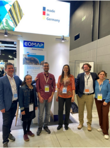
A happy HYPOS consortium at the HYDRO 22 – hydropower exhibition – in Strasbourg.
In the HYPOS project, EOMAP leads an international consortium and closely cooperates with partners from CNR (Italy), NTNU (Norway) and SMHI (Sweden) and Gruner-Stucky (Switzerland).
Sedimentation ranges among the top problems in reservoir management. Using smart tools hydropower managers and dam designers can easily access key hydrological and water parameters. High-resolution satellite analytics are combined with auxiliary data – such as modelling and in-situ data. HYPOS offers access to all reservoirs or river catchments in the world.
Thus, the new toolbox for hydropower planners and managers is considered as a gateway to more efficient sediment management. All in all, the portal is designed to streamline planning, management and monitoring routines – while ensuring sustainable decision-making of hydropower stakeholders.
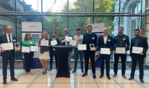
The Ceremony in Brussels BELvue Museum, where HYPOS received the award.
Read more about HYPOS here.
And here is more information about the EARSC awards.
Latest EOMAP News

Reuters bases Mekong article on EOMAP data

So machen Tourismusregionen saubere Gewässer sichtbar

Blaualgen per Satellit: Jede Badestelle im Blick
The Development of EOMAP’s Water Quality Platform

Launching the world’s first comprehensive global water quality atlas with UNESCO

Oman Oil Spill: SDB Mapping of Critical Shallow Waters for Safe Salvage
Related Posts
10 / 2026
So machen Tourismusregionen saubere Gewässer sichtbar
09 / 2026
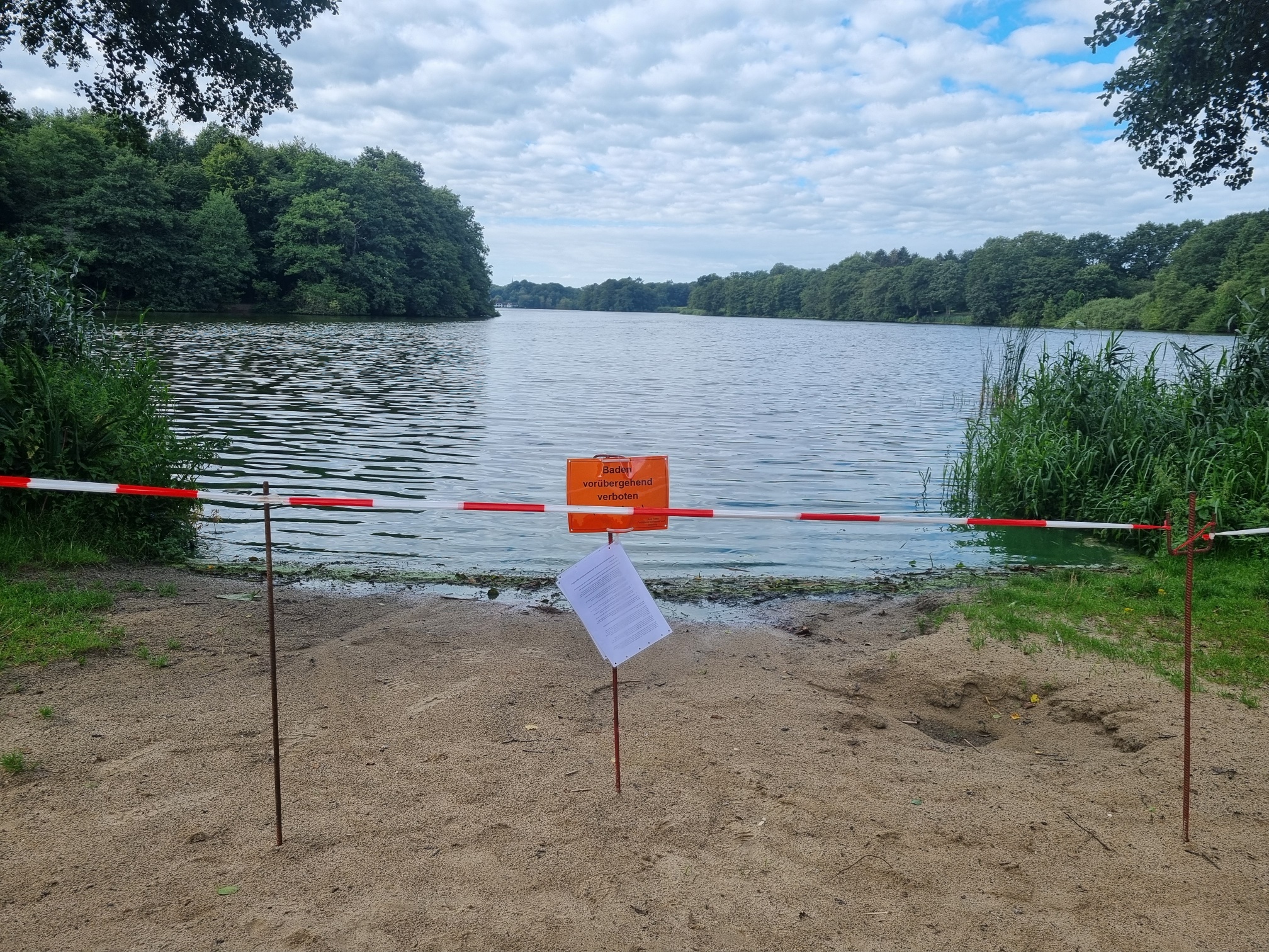
Blaualgen per Satellit: Jede Badestelle im Blick
09 / 2026
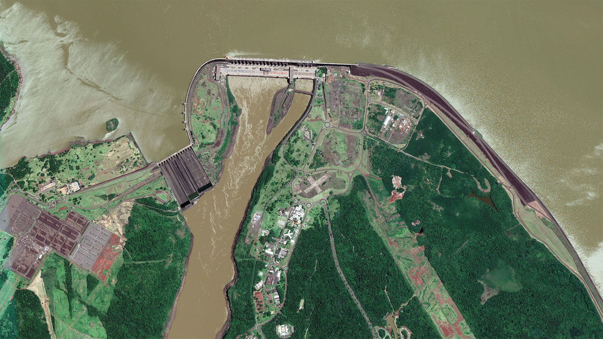
The Development of EOMAP’s Water Quality Platform

08 / 2026
Launching the world’s first comprehensive global water quality atlas with UNESCO

08 / 2026
eoapp DIVE unterstützt die Tauchplanung

06 / 2026
Mapping the ‘unmappable’ Great Barrier Reef
06 / 2026
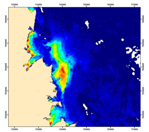
Dredge plume monitoring using satellite-based turbidity mapping

04 / 2026
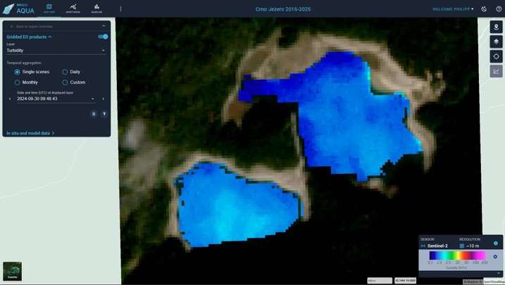
Ningaloo Reef 2009: Hyperspectral Marine Habitat Mapping
04 / 2026
Advocating for Healthy Mountain Ecosystems
04 / 2026

