
Changing perspectives on water quality monitoring
The rising number of pollutants entering our waterways are challenging our ability to monitor and maintain essential supplies of clean water. Water management teams on the ground often cover large networks of freshwater lakes, rivers or streams stretching over vast landscapes or circumnavigating through remote or inaccessible locations. With these logistical hurdles in mind, there is a pressing demand for new technologies to support water management teams as they undertake one of the biggest challenges for modern society. The UNESCO and many other users believe the answers should also lie within the resources of satellite-based earth observation (EO).
Space-based monitoring

Water Quality Monitoring: Chlorophyll status indicating harmful algal bloom in Mecklenburg Lake Plateau
Innovating water quality algorithms
You can read the high- resolution article here , page 54.

Latest EOMAP News

Reuters bases Mekong article on EOMAP data

YellowScan integrates EOMAP’s services into LiDAR mapping solution

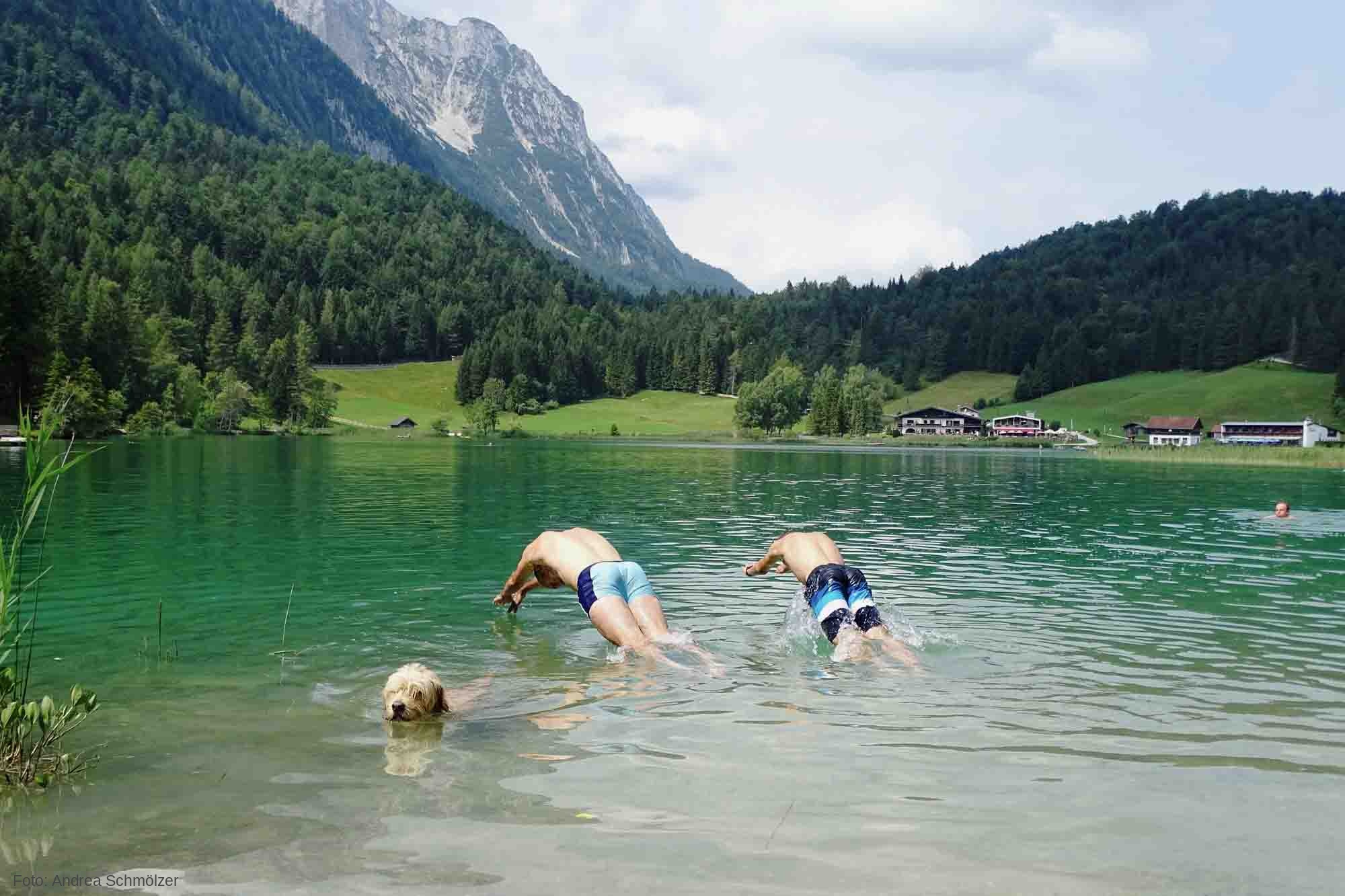
So machen Tourismusregionen saubere Gewässer sichtbar

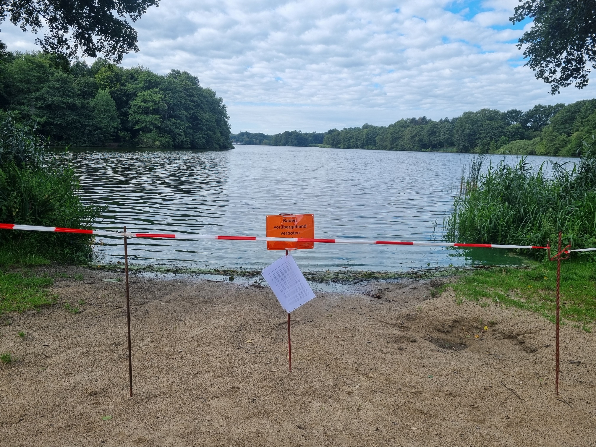
Blaualgen per Satellit: Jede Badestelle im Blick
The Development of EOMAP’s Water Quality Platform

Launching the world’s first comprehensive global water quality atlas with UNESCO
Related Posts
10 / 2026
YellowScan integrates EOMAP’s services into LiDAR mapping solution
10 / 2026
So machen Tourismusregionen saubere Gewässer sichtbar
09 / 2026
Blaualgen per Satellit: Jede Badestelle im Blick
09 / 2026
The Development of EOMAP’s Water Quality Platform

08 / 2026
Launching the world’s first comprehensive global water quality atlas with UNESCO

08 / 2026
eoapp DIVE unterstützt die Tauchplanung

06 / 2026
Mapping the ‘unmappable’ Great Barrier Reef
06 / 2026
Dredge plume monitoring using satellite-based turbidity mapping

04 / 2026
Ningaloo Reef 2009: Hyperspectral Marine Habitat Mapping
04 / 2026

